
Avineon Launches a Portal on the Innovation Lab
29th June 2017
Avineon Launches a Portal on the Innovation Lab29th June 2017
Avineon Launches a Portal on the Innovation Lab29th June 2017
Astun Technology Approved as G-Cloud 9 Supplier to UK Public Sector29th June 2017
FREQUENTIS UK strengthens abilities thanks to increased investment29th June 2017
Free Business Location Data for Use with Maptitude Mapping Software28th June 2017
GSDI Small Grants Program 2017 proposals have been reviewed28th June 2017
Global Mapper Supports Cloud-Based Data Management28th June 2017
CompassCom to Debut Solutions at Esri User Conference27th June 2017
OS to map out greener communities at NWG Innovation Festival26th June 2017
Orbit GT and WSP Group, Sweden update Gold Reseller status23rd June 2017
GIS-Pro 2017 Workshops Will Cover Important Topics22nd June 2017
Embrace GeoJSON Format Together with SuperGIS Desktop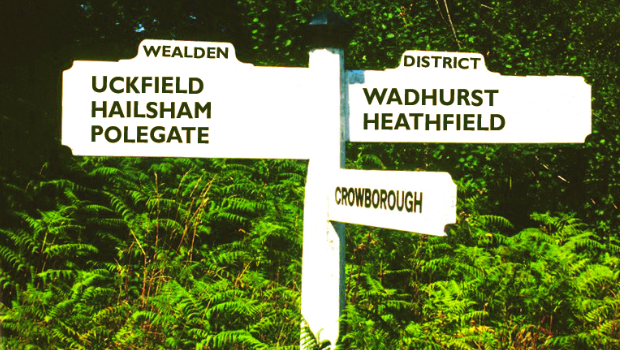
22nd June 2017
Cadcorp selected by Wealden District Council via G-Cloud for corporate GIS22nd June 2017
Global Mapper LiDAR Module v18.2 Now Available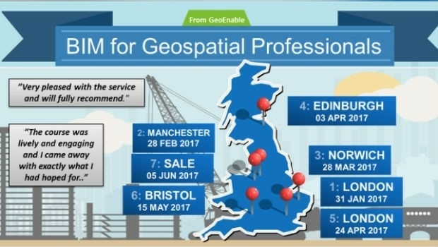
22nd June 2017
BIM for Geospatial Professional (SAL) by GeoEnable21st June 2017
PDF3D V2.14 Meets Demands of Drones, Scanners and 3D Design Apps21st June 2017
Golden Software Releases Network Licenses for Surfer® and Grapher™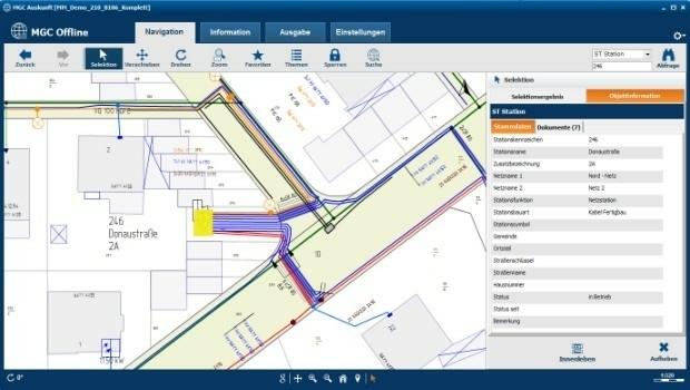
20th June 2017
Mettenmeier Integrates TatukGIS into MGC View Offline App20th June 2017
CSA Unveils Release of the EDGSonline 2.0 Web-Based Mapping Platform20th June 2017
CGG Wins Renewal of Dedicated Center Contract20th June 2017
Spanish Language Version of Global Mapper Now Available20th June 2017
PCI Geomatics to Present at Canadian EO Summit20th June 2017
Bentley Systems to Present at BIM4Water Summer Reception in London UK20th June 2017
What Depth can you Locate a Utility Service?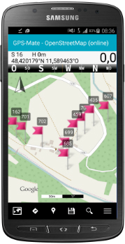
19th June 2017
KilletSoft converts Geodata for Navigation in free Map Services.
19th June 2017
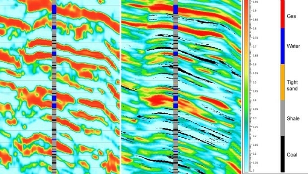
Geostatistical seismic reservoir characterization solution
19th June 2017
AAM to License Pointerra Technology for 3D Data16th June 2017
Hexagon Safety & Infrastructure Selects Microsoft Azure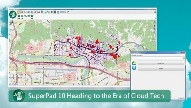
15th June 2017
SuperPad 10- Heading to the Era of Cloud Tech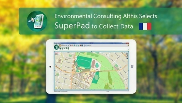
15th June 2017
French Environmental Consulting Althis Selects SuperPad to Collect Data15th June 2017
Uttar Pradesh Police Receives Award for UP 10015th June 2017
Innovation Award from Hexagon Safety & Infrastructure for Bayernwerk
14th June 2017
University of the Punjab Selects SuperGIS Desktop 10
14th June 2017
Latest SuperGIS Desktop 10 Release Provides a Smoother Experience14th June 2017
Orbit GT and Geotecnologias, Costa Rica, sign Reseller Agreement14th June 2017
Integrated approach accelerates understanding of petroleum systems14th June 2017
Utility post processing software delivers CAD drawings in less time14th June 2017
Publication Explores How Location Technology Drives Business Growth14th June 2017
Latest 3D Modeling Technologies at Goodwood Festival of Speed14th June 2017
CGG Launches JumpStart Regional Geoscience Programs14th June 2017
Blue Marble LiDAR Workshop at the Esri UC in San Diego
13th June 2017
Computer Aided Marine Contingency Planning System Developed13th June 2017
Hexagon Safety & Infrastructure Incident Command System Application13th June 2017
Election Result could delay major UK infrastructure projects13th June 2017
European retail: Central and Eastern Europe gain-ing ground13th June 2017
Sercel Improves Versatility of 508XT Land Acquisition System