Pix4D partners with Kokusai Kogyo in Japan
21st November 2017
Pix4D partners with Kokusai Kogyo in Japan21st November 2017
Pix4D partners with Kokusai Kogyo in Japan21st November 2017
New Precise Point Positioning Module comes to Carlson SurveyGNSS20th November 2017
Announcement EuroSDR 2018 series of e-learning20th November 2017
The City of Edinopolis Opens its Doors to the World17th November 2017
Global Mapper SDK Now Available on Amazon Web Services17th November 2017
Esri Supports American Association of Geographers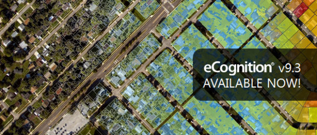
17th November 2017
New Version of Trimble eCognition Suite available16th November 2017
Utilities Management System wins Satellite Navigation Competition 201716th November 2017
Update To Ground-Breaking 5 Metre Groundwater Flood Risk Map16th November 2017
GIS People – Microsoft Australia Partner Awards 2017 Winner!16th November 2017
GeoCue adds Puerto Rico LIDAR data to Support Hurricane Recovery
16th November 2017
Autodesk and Esri Team to Advance Infrastructure Planning and Design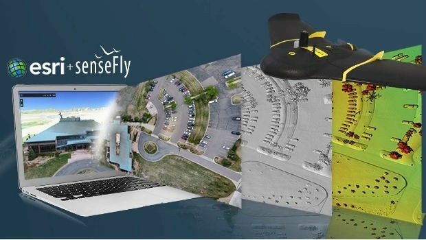
15th November 2017
senseFly teams up with Esri to host free ‘Drone to GIS’ webinar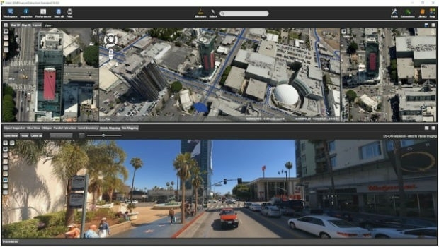
15th November 2017
Orbit GT releases 3D Mapping Feature Extraction Standard v1815th November 2017
Hexagon's Public Safety App Featured in the Microsoft Patrol Car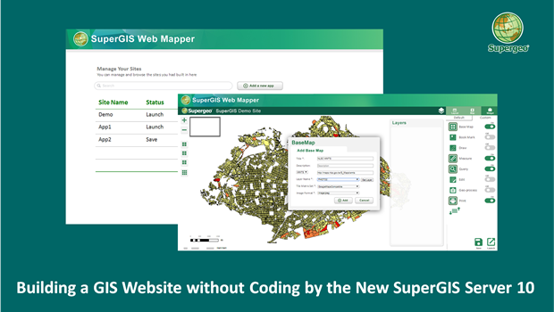
15th November 2017
Building a Unique GIS Website without Coding by Brand New SuperGIS Server 10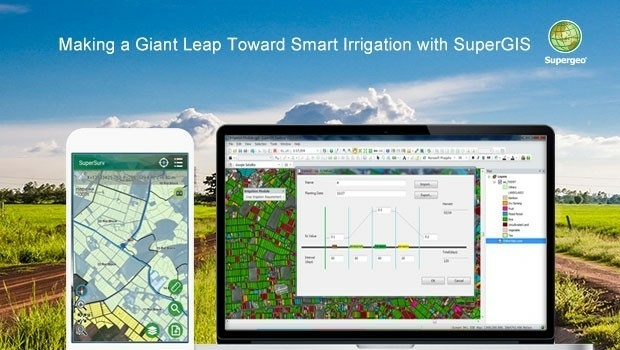
15th November 2017
Making a Giant Leap Toward Smart Irrigation with SuperGIS
15th November 2017
Supergeo Partners with Agricultural Engineering Research Center to Develop Irrigation Solution14th November 2017
Luciad Launches Next Generation of Geospatial Situational Awareness14th November 2017
Esri and Mobileye to Bring Real-Time Sensor Data to Public Transit
14th November 2017
Golden Software Releases Surfer® 2D and 3D14th November 2017
Avenza Releases MAPublisher 10 For Adobe Illustrator
14th November 2017
CACI Boosts Location Planning Services with Mapmechanics Acquisition14th November 2017
Landmark's major relaunch of MAGIC interactive GB mapping service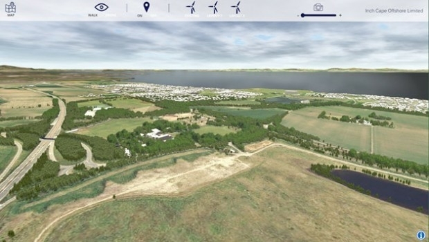
14th November 2017
Bluesky 3D Models Create Offshore Wind Farm VR Simulation
14th November 2017
QRoutes Launches Special Needs Transport Planning Software
14th November 2017
thinkWhere Powers Humanitarian Disaster Response with OpenStreetMap Tool13th November 2017
Pitney Bowes Launches Global Collaboration Community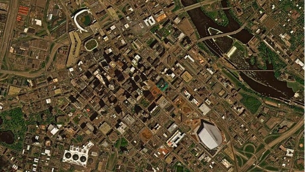
10th November 2017
East View Geospatial Signs Reseller Contract with UrtheCast
9th November 2017
Warrington Borough Council Optimise Highways Asset Management
7th November 2017
Popular URISA Program to be Offered Twice in 2018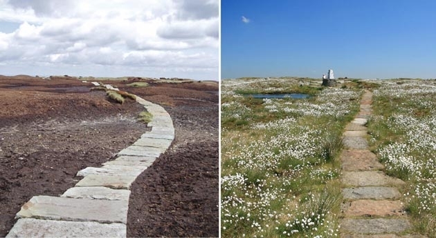
7th November 2017
Bluesky Aerial Photos Help South Pennines Moor Conservation3rd November 2017
Oxfordshire County Council looks to GIS to transform service delivery2nd November 2017
Pitney Bowes and Arrow Electronics sign Agreement
2nd November 2017
Bluesky LiDAR Data Used by RPS to Assess Flood Risk for Anglian Water
1st November 2017
Impressions from the SCADA Security Conference1st November 2017
2018 ISPRS Call for Educational and Capacity Building Initiative
31st October 2017
Sierra Leone Makes Fourth Licensing Round Pre-Announcement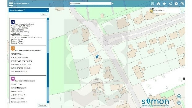
31st October 2017
Sefton Council uses GIS to support ‘One Council’ policy

30th October 2017
Helping Councils get the Most from Infrastructure Asset Management30th October 2017
Three new exciting webinars are now opened for registration