
NGA, NATO and the UK MoD Headline DGI 2018 Speaker Lineup
14th December 2017
NGA, NATO and the UK MoD Headline DGI 2018 Speaker Lineup
14th December 2017
NGA, NATO and the UK MoD Headline DGI 2018 Speaker Lineup14th December 2017
Peering into the future of Geospatial Intelligence
13th December 2017
Bluesky Aerial Photos Help Darlington Council Map out Economic Growth
13th December 2017
Maptitude Mapping Software Donated to USGIF Academic Partners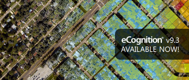
12th December 2017
New Version of Trimble eCognition Suite available12th December 2017
Esri Technology Will Help Power United Nations' New Global Data Hub8th December 2017
Finding data ranks as top challenge for geoscience data management

7th December 2017
CGG Releases Multi-Client Airborne GravMag Survey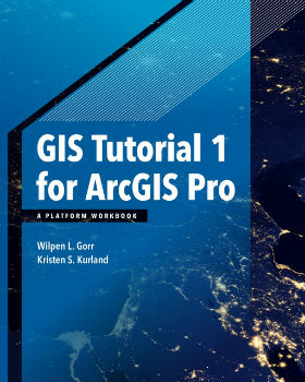
7th December 2017
Esri Publishes a Textbook on How to Use ArcGIS Pro6th December 2017
OGC seeks public comment on CDB Multi-spectral Imagery Extension
6th December 2017
GeoPlace Recognised As An Investor In People6th December 2017
Monsanto and Boundless Collaborate for Open Source GIS Contributions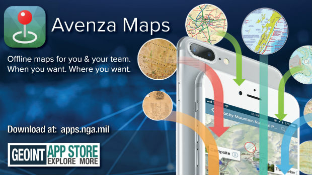
6th December 2017
Avenza Maps iOS App Launches In The GEOINT App Store6th December 2017
UrtheCast and Twenty First Aerospace Technology Partnership6th December 2017
CGG announces the launch of CEO succession plan
4th December 2017
KOREC announces UK distributor agreement with GeoSLAM2nd December 2017
Landmark hosts digital mapping and data workshops2nd December 2017
Canadian Company Timbercraft Consultation Chooses SuperPad1st December 2017
Esri Signs Global Enterprise Agreement with Airbus Defence and Space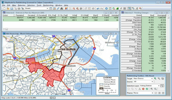
1st December 2017
Learn More About Maptitude for Redistricting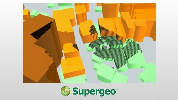
1st December 2017
3D Viewshed Will Be Released in the Next SuperGIS Earth Server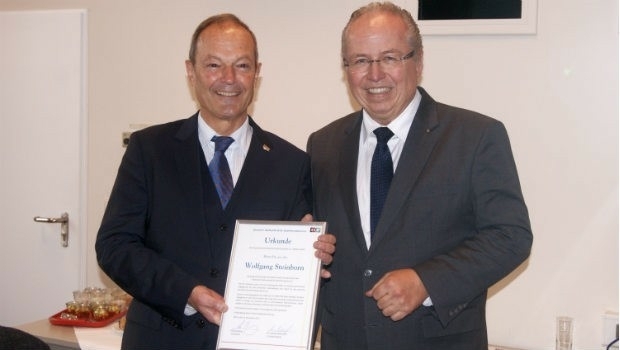
30th November 2017
Dr Wolfgang Steinborn Awarded DDGI’s Golden Badge of Honor30th November 2017
Data Model Development advances OGC’s Underground Pilot Project
30th November 2017
thinkWhere Maps Out Business Expansion with Mahon Fitzgerald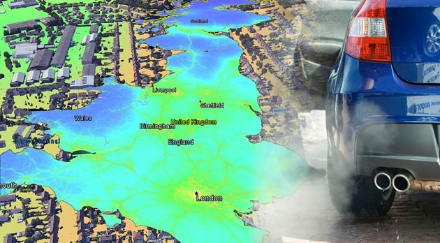
30th November 2017
EarthSense Releases New Nationwide Map of Air Pollution30th November 2017
Esri Will Donate Software Licenses to URISA GISCorps Volunteers30th November 2017
Cityworks Announces Release of Performance Budgeting 1.030th November 2017
OGC seeks public comment on CDB Multi-spectral Imagery Extension29th November 2017
DGI 18-The Premier Annual Meeting for Geospatial Intelligence Leaders
29th November 2017
OGC Calls for Sponsors for Augmented Reality Pilot Project29th November 2017
Global Mapper Available with Photogrammetric Point Cloud Generation29th November 2017
Scientific-grade GNSS with Real Time Kinematic Satellite Navigation28th November 2017
SimActive Introduces New Technology for True Orthos27th November 2017
ABB selects Digpro’s dpPower for a large SCADA ADMS project in Turkey24th November 2017
Landmark Solutions launches ‘Points of Interest – Northern Ireland’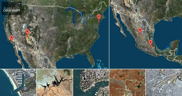
23rd November 2017
PlanetObserver presents new PlanetSAT Updates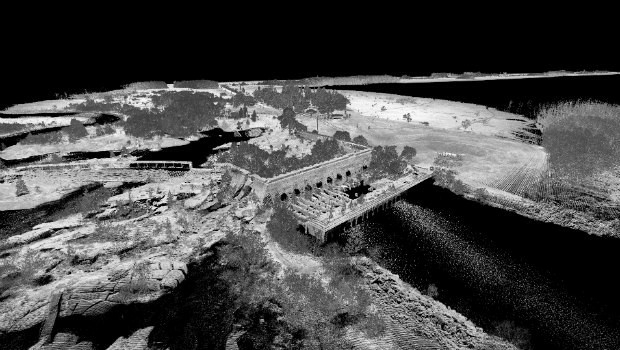
23rd November 2017
3D Laser Mapping launches campaign to release open-source LiDAR data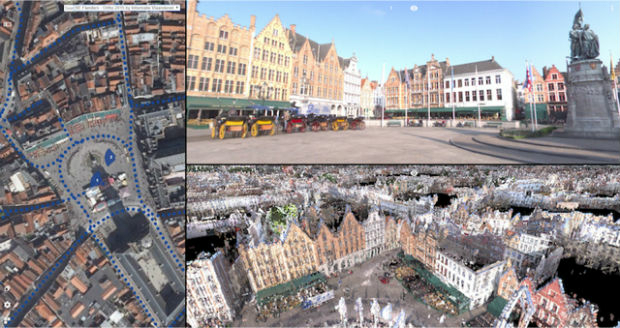
23rd November 2017
Orbit GT releases 3D Mapping Publisher v1822nd November 2017
OGC's 105th Technical & Planning Committee Meeting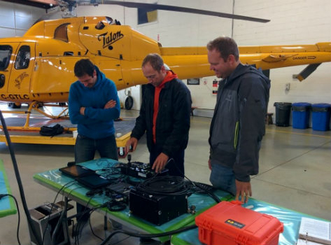
22nd November 2017
geoDVR for SAR - North Shore Rescue & Talon Helicopters21st November 2017
GeoSpock appoints technology entrepreneur Richard Baker as CEO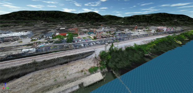

21st November 2017
Rennes, France Virtually Experiences its Sustainable Future21st November 2017
viaEuropa Cloud Solo service added to G-Cloud 9
21st November 2017
Local authority transport specialists drive for better route planning