
Rezatec announces completion of £2m financing
14th February 2018
Rezatec announces completion of £2m financing
14th February 2018
Rezatec announces completion of £2m financing14th February 2018
Global Mapper v19.1 Now Available with New Features13th February 2018
RegioGraph: 2018 update available end of March13th February 2018
National Gendarmerie Conducts Post-Hurricane Missions with SimActive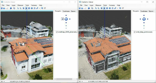
13th February 2018
ICAROS Uses TatukGIS SDK to Develop New Aerial Geospatial Data Viewer
12th February 2018
Bluesky Innovation Uses Mobile Phones to Create 3D Maps

9th February 2018
GEOINT 2018 Registration and Housing Now Open
9th February 2018
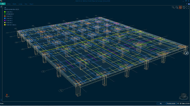
Bentley Systems Expands Concrete Building Design and Documentation8th February 2018
PCI Geomatics Releases Geomatica Software Update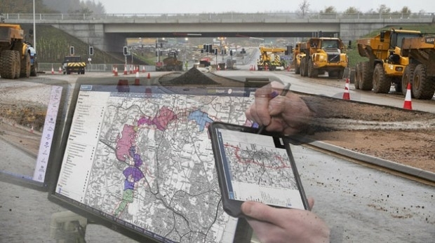
8th February 2018
thinkWhere Online Mapper Connects Aberdeen Bypass Project8th February 2018
Esri Releases Operations Dashboard for ArcGIS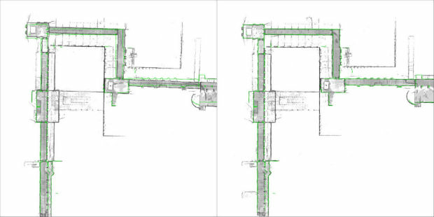
8th February 2018
NavVis sets new standard in SLAM precision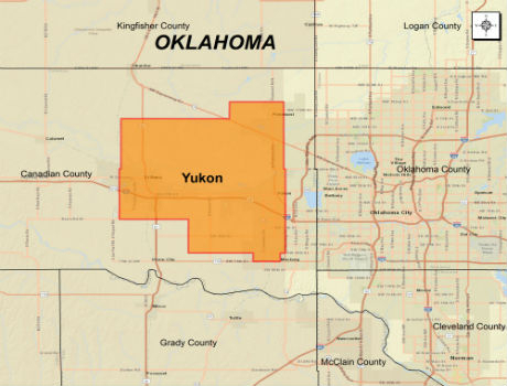
6th February 2018
CGG Extends Oklahoma Coverage with Yukon Multi-Client Survey6th February 2018
A partnership to integrate LiDAR and Photogrammetric technologies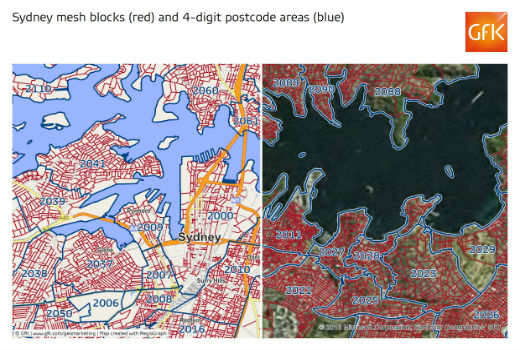
6th February 2018
GfK releases new digital maps for Australia5th February 2018
Sundbybergs Stadsnät increases the control of the fiber network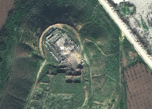
5th February 2018
Satellite Images of Afrin Identifies Massive Damage to Ancient Temple
4th February 2018
New SuperGIS 3D API for JavaScript - Coming Soon
4th February 2018
Orbit GT releases major update of 3D Mapping Cloud2nd February 2018
PCI Geomatics Releases GXL 2017, Service Pack 12nd February 2018
3D Laser Mapping releases real-time automated mine monitoring solutions2nd February 2018
Blue Marble to Showcase Global Mapper's Pixels-to-Points™ Tool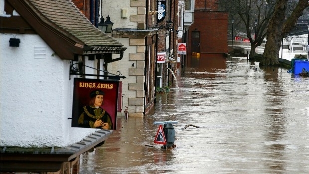
1st February 2018
National flood map provides future climate change flood scenarios
31st January 2018
New noise maps created for the German Federal Railway Authority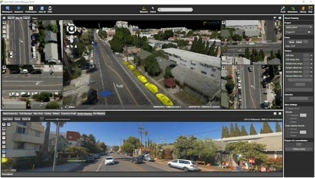
31st January 2018
Orbit GT releases 3D Mapping Content Manager v18
31st January 2018
GDMIS System for Ministry of Natural Resources in Malawi31st January 2018
Boundless Launches Scalable Geospatial Server for the Enterprise
31st January 2018
CGG GeoSoftware Donates Jason Reservoir Characterization Software
29th January 2018
Supergeo Offers Educational Site License at a Competitive Price29th January 2018
Geovation Programme seeks new GeoTech and PropTech disruptors29th January 2018
Swedish municipality Vansbro chooses Digpro
29th January 2018
Chronostec Becomes Supergeo’s Exclusive Reseller in Western Africa25th January 2018
GGP Systems partners with Strata Service Solutions Limited (Strata)25th January 2018
2018 URISA Exemplary Systems in Government Awards Process Opens24th January 2018
Historical insight for urban development projects
24th January 2018
Bentley Systems Expands through Acquisition of S-Cube Futuretech24th January 2018
GeoCalc SDK 7.4 Update Includes Support for New Functionality24th January 2018
Work Hard, Play Hard at the 2018 Carlson ‘Go West’ User Conference24th January 2018
Schneider Electric Partnership With Power Engineers Incorporated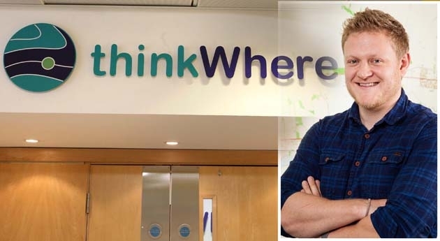
23rd January 2018
thinkWhere Appoints Frankland as Operations Manager
23rd January 2018
Learn the Basics of Mapping with Geographic Information Systems