LizardTech to Launch GeoExpress 10 with Expanded LiDAR Functionality
17th April 2018
LizardTech to Launch GeoExpress 10 with Expanded LiDAR Functionality17th April 2018
LizardTech to Launch GeoExpress 10 with Expanded LiDAR Functionality
17th April 2018
Copernicus App Lab’s Earth Observation Data Tools Ready for Developers
17th April 2018
Story Maps Team Leader Recognized with AAG Award
17th April 2018
GIS4BUSINESS achieves Esri ArcGIS Online Specialty
14th April 2018
Integrate Your Products with Supergeo’s GIS Techniques!
13th April 2018
SuperGIS Web Mapper 2.0 Is Ready for Release!12th April 2018
National Insurance Crime Bureau to Present at the Business Summit

12th April 2018
Satellite imagery and AI software for vineyard health in Australia11th April 2018
GeoDATA Ireland Showcase 2018 two weeks to go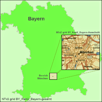
11th April 2018
Solutions for problems with large NTv2 files in GIS and Geosoftware
11th April 2018
GEO Business 2018 reveal brand new seminar and workshop programme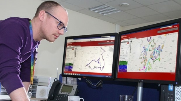
11th April 2018
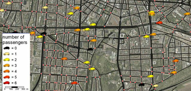
Bedford Boosts Transport Efficiency with QRoutes10th April 2018
More than a Dozen Federal Agencies to Present at GEOINT 201810th April 2018
Explore What's in Store for You at the World’s Largest GIS Event10th April 2018
A new generation of high precision multispectral sensor
9th April 2018
Orbit GT and Instrumental Y Optica, Ecuador, sign Reseller Agreement9th April 2018
Esri and UNOSAT Host GIS for a Sustainable World Conference9th April 2018
UK BIM Alliance Product Data Working Group Confirmed7th April 2018
Updated Global Mapper Academic Labs Now Available6th April 2018
CGG Launches First Lien Senior Secured Notes Offering6th April 2018
CGG Launches First Lien Senior Secured Notes Offering5th April 2018
1Spatial awarded contract by the European Union Satellite Centre5th April 2018
GeoSpock Bolsters C-suite Team as Part of Scale-up Plan5th April 2018
USGIF Announces Keynotes for the GEOINT 2018 Symposium
4th April 2018
Bentley Systems’ Year in Infrastructure 2018 Conference and Awards Gala
3rd April 2018
senseFly and Trimble optimize workflow for geospatial drone operators
3rd April 2018
Topcon and Bentley to hold collaborative Constructioneering Academy3rd April 2018
East View Geospatial Launches On-Demand Milspec Geospatial Data
30th March 2018
OGC seeks public comment on version 1.1 of CDB standard
30th March 2018
Copernicus Data Warehouse Offers 40 cm Imagery

29th March 2018
Pix4D announces Pix4Dfields, dedicated product for agriculture
28th March 2018
9th IGRSM International Conference and Exhibition
28th March 2018
SuperSurv Selected by Indonesian Agency for Forest Conservation
28th March 2018
SuperGIS Desktop Wins the Heart of Romanian Consulting Firms27th March 2018
Assystem Technologies and UWINLOC join forces
27th March 2018
senseFly takes drone flight planning & management to next level
27th March 2018
INTERGEO 2018 - Exciting, Topical, Trendsetting
27th March 2018
New Esri Textbook Teaches the Fundamentals of ArcGIS
27th March 2018
New 3D Repo version adds BCF support and GIS integration
26th March 2018
Maptitude 2018 Adds Enhanced MapPoint and Streets & Trips Features26th March 2018
CGG announces the appointment of Sophie Zurquiyah as CEO
26th March 2018
thinkWhere Moves to Tech Scaleup Incubator CodeBase Stirling24th March 2018
Esri Location Intelligence Empowers Innovation at FirstNet Hackathon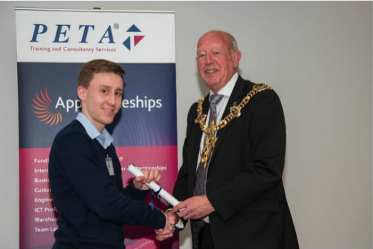
23rd March 2018
OceanWise’s Will Girard wins at the 2018 Apprentice of the Year Awards!