Data Gateway brings powerful data validation and processing via a self-serve, training-free experien (from import)

Data Gateway brings powerful data validation and processing via a self-serve, training-free experien

9th May 2018

Data Gateway brings powerful data validation and processing via a self-serve, training-free experien
Maptitude Team Provides Sponsorship for Applied Geography Conferences (from import)

Maptitude Team Provides Sponsorship for Applied Geography Conferences

8th May 2018

Maptitude Team Provides Sponsorship for Applied Geography Conferences

Boundless Continues its Commitment to the Open Source Community

7th May 2018

Boundless Continues its Commitment to the Open Source Community
OGC seeks public comment on new Interoperable Simulation (from import)

OGC seeks public comment on new Interoperable Simulation

7th May 2018

OGC seeks public comment on new Interoperable Simulation
RSR to Present at the 2018 Business Summit (from import)

RSR to Present at the 2018 Business Summit

4th May 2018

RSR to Present at the 2018 Business Summit
MapAction GIS volunteers to join Royal Wedding celebrations (from import)

MapAction GIS volunteers to join Royal Wedding celebrations

4th May 2018

MapAction GIS volunteers to join Royal Wedding celebrations
Cadcorp launches Extended Support Service (from import)

Cadcorp launches Extended Support Service

4th May 2018

Cadcorp launches Extended Support Service
Sponsorship for MGGG Geometry of Redistricting Workshops (from import)
Sponsorship for MGGG Geometry of Redistricting Workshops

4th May 2018

Sponsorship for MGGG Geometry of Redistricting Workshops
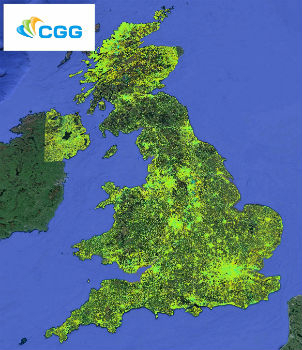
CGG Launches New MotionMap UK National Ground Stability Database (from import)

CGG Launches New MotionMap UK National Ground Stability Database

4th May 2018

CGG Launches New MotionMap UK National Ground Stability Database
GeoPlace announces new Managing Director (from import)

GeoPlace announces new Managing Director

4th May 2018

GeoPlace announces new Managing Director
New Update for SuperGIS Desktop 10 After a Long Wait (from import)

New Update for SuperGIS Desktop 10 After a Long Wait

4th May 2018

New Update for SuperGIS Desktop 10 After a Long Wait
Maptitude Mapping Software Team Provides Awards & Prizes (from import)
Maptitude Mapping Software Team Provides Awards & Prizes

3rd May 2018

Maptitude Mapping Software Team Provides Awards & Prizes
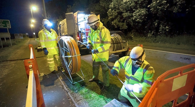
thinkWhere helps Scotland's Superfast Broadband achieve 95% coverage (from import)

thinkWhere helps Scotland's Superfast Broadband achieve 95% coverage

2nd May 2018

thinkWhere helps Scotland's Superfast Broadband achieve 95% coverage

Boundless Exchange Now Available as Managed Offering in the Cloud
2nd May 2018

Boundless Exchange Now Available as Managed Offering in the Cloud
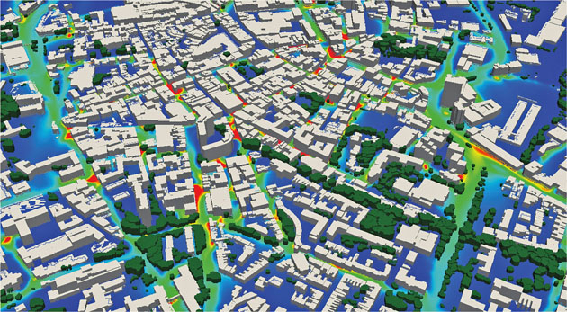
EarthSense Maps Show Homeowners Air Pollution Levels (from import)

EarthSense Maps Show Homeowners Air Pollution Levels

1st May 2018

EarthSense Maps Show Homeowners Air Pollution Levels

Bentley Systems Invites Members of the Press and Industry Analysts

1st May 2018

Bentley Systems Invites Members of the Press and Industry Analysts

GeoSpock launches unique location intelligence platform

1st May 2018

GeoSpock launches unique location intelligence platform

Esri Joins Smart Cities New York 2018 Conference

1st May 2018

Esri Joins Smart Cities New York 2018 Conference
OGC Calls for Sponsors for Maritime Limits and Boundaries Pilot (from import)
OGC Calls for Sponsors for Maritime Limits and Boundaries Pilot

30th April 2018

OGC Calls for Sponsors for Maritime Limits and Boundaries Pilot
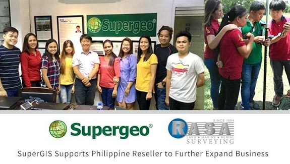
Supergeo Supports Philippine Reseller RASA Surveying to Further Expand Business (from import)

Supergeo Supports Philippine Reseller RASA Surveying to Further Expand Business

27th April 2018

Supergeo Supports Philippine Reseller RASA Surveying to Further Expand Business
Submit Your Work for Display in the Esri UC Map Gallery (from import)

Submit Your Work for Display in the Esri UC Map Gallery

26th April 2018

Submit Your Work for Display in the Esri UC Map Gallery
EarthSense adds ultra-fine particulates to MappAir air pollution map (from import)

EarthSense adds ultra-fine particulates to MappAir air pollution map

26th April 2018

EarthSense adds ultra-fine particulates to MappAir air pollution map

Esri's Developer Technology Supports Situational Awareness Workflows
26th April 2018

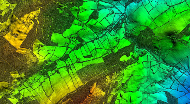
Esri's Developer Technology Supports Situational Awareness Workflows
Bluesky LiDAR Supports Major Irish Water Supply Project (from import)
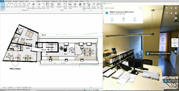
Bluesky LiDAR Supports Major Irish Water Supply Project

26th April 2018

Bluesky LiDAR Supports Major Irish Water Supply Project
NavVis launches Autodesk Revit Add-in (from import)

NavVis launches Autodesk Revit Add-in

25th April 2018

NavVis launches Autodesk Revit Add-in

Place & Location Technologies at heart of GEO Business Conference
25th April 2018

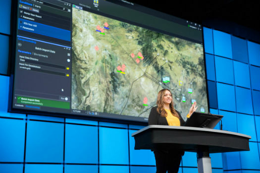
Place & Location Technologies at heart of GEO Business Conference
ArcGIS Pro Workstation Customized for the Intelligence Community (from import)

ArcGIS Pro Workstation Customized for the Intelligence Community

24th April 2018

ArcGIS Pro Workstation Customized for the Intelligence Community

Geovation reveals next wave of GeoTech and PropTech businesses

24th April 2018

Geovation reveals next wave of GeoTech and PropTech businesses
Deimos Imaging awarded GSA Contract (from import)

Deimos Imaging awarded GSA Contract

23rd April 2018

Deimos Imaging awarded GSA Contract
Orbit GT and 3G-Consult, Tunisia, sign Reseller Agreement (from import)

Orbit GT and 3G-Consult, Tunisia, sign Reseller Agreement

23rd April 2018

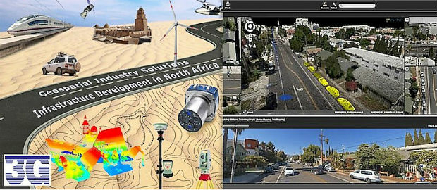
Orbit GT and 3G-Consult, Tunisia, sign Reseller Agreement

Europa Technologies celebrates Earth Day

23rd April 2018

Europa Technologies celebrates Earth Day

Five Reasons to Attend the 2018 Esri User Conference

20th April 2018

Five Reasons to Attend the 2018 Esri User Conference

OGC Seeks Public Comment on update to Abstract Specification Topic 2

20th April 2018

OGC Seeks Public Comment on update to Abstract Specification Topic 2
Shih Hsin University Dominates SuperGIS Youth Award 2018 (from import)
Shih Hsin University Dominates SuperGIS Youth Award 2018

20th April 2018

Shih Hsin University Dominates SuperGIS Youth Award 2018
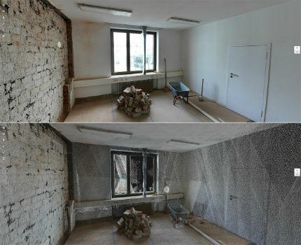
New Indoor Mobile Mapping System from NavVis (from import)

New Indoor Mobile Mapping System from NavVis

19th April 2018

New Indoor Mobile Mapping System from NavVis
Police GIS Workshop (from import)

Police GIS Workshop

18th April 2018

Police GIS Workshop
Dawn Wright Celebrates Earth Day by Speaking at EarthxOcean Conference (from import)

Dawn Wright Celebrates Earth Day by Speaking at EarthxOcean Conference

18th April 2018

Dawn Wright Celebrates Earth Day by Speaking at EarthxOcean Conference

Real-Time Mobile Data Collection with Boundless Anywhere

17th April 2018

Real-Time Mobile Data Collection with Boundless Anywhere
Vattenfall procure OceanWise Raster Charts XL (from import)

Vattenfall procure OceanWise Raster Charts XL

17th April 2018

Vattenfall procure OceanWise Raster Charts XL

LizardTech to Launch GeoExpress 10 with Expanded LiDAR Functionality

17th April 2018

LizardTech to Launch GeoExpress 10 with Expanded LiDAR Functionality
Copernicus App Lab’s Earth Observation Data Tools Ready for Developers (from import)

Copernicus App Lab’s Earth Observation Data Tools Ready for Developers

17th April 2018

Copernicus App Lab’s Earth Observation Data Tools Ready for Developers
Story Maps Team Leader Recognized with AAG Award (from import)

Story Maps Team Leader Recognized with AAG Award

17th April 2018

Story Maps Team Leader Recognized with AAG Award
GIS4BUSINESS achieves Esri ArcGIS Online Specialty (from import)

GIS4BUSINESS achieves Esri ArcGIS Online Specialty

17th April 2018

GIS4BUSINESS achieves Esri ArcGIS Online Specialty
Integrate Your Products with Supergeo’s GIS Techniques! (from import)

Integrate Your Products with Supergeo’s GIS Techniques!

14th April 2018

Integrate Your Products with Supergeo’s GIS Techniques!
SuperGIS Web Mapper 2.0 Is Ready for Release! (from import)

SuperGIS Web Mapper 2.0 Is Ready for Release!

13th April 2018

SuperGIS Web Mapper 2.0 Is Ready for Release!

National Insurance Crime Bureau to Present at the Business Summit

12th April 2018

National Insurance Crime Bureau to Present at the Business Summit
Esri and Alibaba Cloud working together (from import)

Esri and Alibaba Cloud working together

12th April 2018

Esri and Alibaba Cloud working together
Satellite imagery and AI software for vineyard health in Australia (from import)

Satellite imagery and AI software for vineyard health in Australia

12th April 2018

Satellite imagery and AI software for vineyard health in Australia