
Ordnance Survey underpins UK driverless car testing
16th August 2018
Ordnance Survey underpins UK driverless car testing16th August 2018
Ordnance Survey underpins UK driverless car testing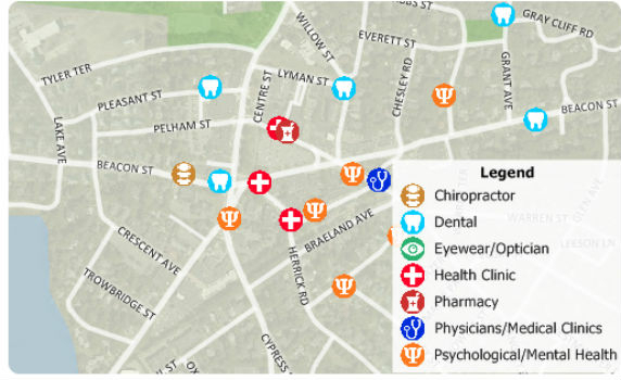
16th August 2018
Free Healthcare Data for Use with Maptitude 2018 Mapping Software
16th August 2018
Eos, LaserTech and Esri Introduce Laser Mapping Workflow15th August 2018
Hexagon expands Mining division’s channel program15th August 2018
UrtheCast Announce Term Sheet for Purchase of Geosys
15th August 2018
Remote Geo "Graduates" from Esri Startup to Silver Partner15th August 2018
The Danish Geodata Agency selects Teledyne CARIS15th August 2018
2018 URISA Exemplary Systems in Government Award Recipients Announced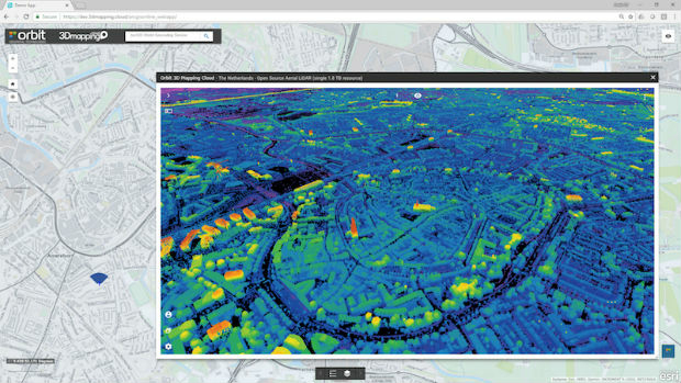
14th August 2018
Orbit GT releases free Esri ArcOnline Widget
13th August 2018
Over 70% of exhibitors from the last show rebooked their stand
13th August 2018
Acquisition Of Data For Norway’s Mareano Seabed Mapping Programme
10th August 2018
The Latest Version of SuperGIS Server Will Make Its Debut in Q4!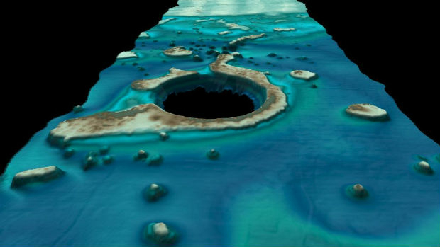
9th August 2018
Fugro’s New Ramms Technology Advances Bathymetric Lidar Mapping Capabilities9th August 2018
HERE location platform remains "undisputed" leader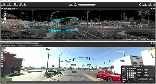
9th August 2018
Orbit GT and CompassData Inc USA, sign Reseller Agreement
9th August 2018
RIEGL a Founding Member of the World Geospatial Industry Council!9th August 2018
Blue Marble Announces Distinguished Speakers for User Conference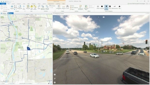
8th August 2018
Orbit GT releases free Esri ArcGIS Pro add-in
8th August 2018
Latest software release from Maptek supports 19,000 Vulcan users
8th August 2018
Bentley Announces Finalists in the Year in Infrastructure 2018 Awards
7th August 2018
Urban-themed Location Powers Event Agenda Finalized
7th August 2018
Renovo and HERE Technologies Form Partnership7th August 2018
CHC Navigation Completes Acquisition of AMW
7th August 2018
1Spatial adds Linear Reference System (LRS) support to 1Integrate
7th August 2018
EarthSense App Promotes Clean Air Routes for Exercise
6th August 2018
The ‘corniest’ attraction in the UK is back!6th August 2018
1Spatial adds Linear Reference System (LRS) support to 1Integrate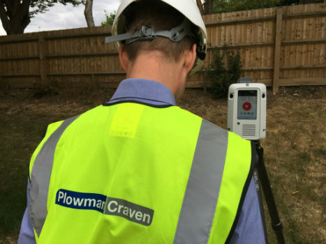
3rd August 2018
Plowman Craven collaborates with Leica Geosystems on RTC360
3rd August 2018
Malaysian Survey Consultants Jalal Johari Chooses SuperSurv as the Best Helper for Land Surveying2nd August 2018
OceanWise will be running a Marine Data Management Awareness Course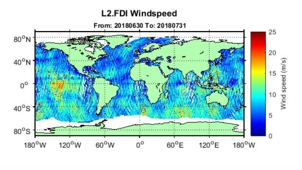
1st August 2018
First global GNSS-Reflectometry ocean wind data service30th July 2018
OceanWise delivers accurate real-time weather data27th July 2018
CGG announces the Appointment of Yuri Baidoukov as Group CFO
27th July 2018
SuperGIS Desktop will further support MariaDB in the next update!
26th July 2018
South Downs National Park Plans GIS Future with thinkWhere
25th July 2018
Human individuals at the centre of attention at the GI_Forum 201825th July 2018
NGA Efforts to Drive Innovation by Partnering with Industry
24th July 2018
Government’s Framework for UK Fibre Delivery
21st July 2018
Carlson SurvCE and SurvPC 6.0 Available Now20th July 2018
Yotta Accelerates Growth in Australia with Strategic PMS Partnership20th July 2018
3D Laser Mapping And GeoSLAM Global Merger Announcement

20th July 2018
Nottingham expert named President of the Royal Institute of Navigation
20th July 2018
Bentley Systems Presents Synchro Software Solution
20th July 2018
SuperGIS Desktop 10 always keep up with the trend!19th July 2018
Ordnance Survey to help Guyana reap the benefit of geospatial data19th July 2018
Ordnance Survey announces new OS Open Zoomstack