
SITECO announces full compatibility of Road-Scanner data with TopoDOT
15th September 2018
SITECO announces full compatibility of Road-Scanner data with TopoDOT
15th September 2018
SITECO announces full compatibility of Road-Scanner data with TopoDOT14th September 2018
RENEXPO® BIH International platform for water, energy and environment
14th September 2018
DigitalGlobe Satellite Imagery of Russian Military Exercise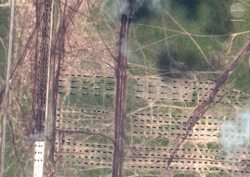
14th September 2018
DigitalGlobe Satellite Imagery of Russian Military Exercise13th September 2018
RIEGL to Attend and Exhibit at AREMA 2018!13th September 2018
Boundless introduces GIS solution for state & local governments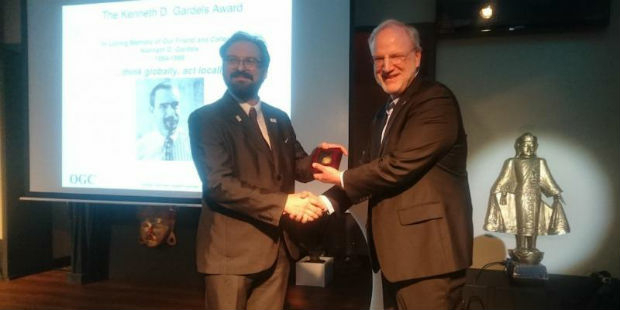
13th September 2018
Joan Masó receives OGC’s 2018 Gardels Award
13th September 2018
thinkWhere Announces GIS and data management training
12th September 2018
East View Geospatial Partners with Space View
12th September 2018
URISA Announces 2018 GIS Hall of Fame Inductees11th September 2018
Pitney Bowes Now Offering Data for Purchase Online.jpg)
11th September 2018
GeoSmart Extends Groundwater Flood Forecast Service11th September 2018
CGG’s MotionMap UK Data Enhances Ground Risk of Terrafirma Search8th September 2018
In-house development with the Geodetic Development Kit GeoDLL8th September 2018
Compusult Awarded NATO Core GIS Incr. 3 Contract
6th September 2018
Latest PDF3D PV+ Release Broadens Scientific Data Reporting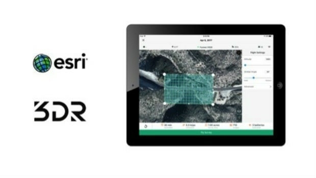
5th September 2018
3DR Announces Site Scan Esri® Edition for Esri Users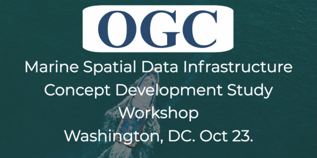
5th September 2018
OGC invites you to the Marine SDI (MDSI) Concept Development Study4th September 2018
Acquisition of Outback Guidance Business from AgJunction, Inc.4th September 2018
Submit an abstract for a chance to speak at SPAR 3D Expo & Conference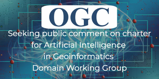
4th September 2018
Artificial Intelligence in Geoinformatics Domain Working Group
3rd September 2018
CGG Develops a Centre for Advanced Imaging for PETRONAS31st August 2018
Schneider Electric Officially Releases Arcfm 10.6.1
30th August 2018
Hexagon Partners with Clevest to Improve Utility Field Operations
30th August 2018
Heart of the next-generation transport management system in Sydney
30th August 2018
Be our guest at the infrastructure industry event of the year.
28th August 2018
SimActive for Mining: Drones & Volume Calculation28th August 2018
The Regulatory Compliance & Integrity Management Department Expanded28th August 2018
URISA's GISCorps Announces Community Maps28th August 2018
Siemens and Bentley partner in new digital solution28th August 2018
Siemens and Bentley Systems strengthen their strategic alliance28th August 2018
PCI Geomatics signs Strategic Education Alliance Agreement
23rd August 2018
OGC seeks public comment on GeoPackage Related Tables Extension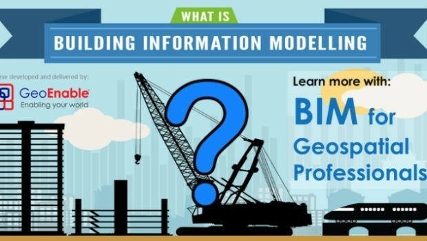
22nd August 2018
BIM for Geospatial Professional Training by GeoEnable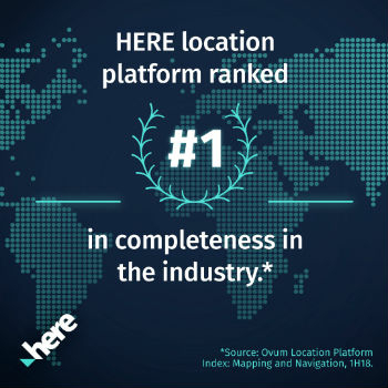
22nd August 2018
"HERE topples Google to take first place" - Ovum*22nd August 2018
Swift Navigation Announces BeiDou and Galileo Support for Piksi Multi
21st August 2018
OGC Seeks Public Comment on MetOcean profile and extensions to WCS 2.121st August 2018
HawkEye 360 Announces Eagle Technology as Partner for New Zealand21st August 2018
Hemisphere GNSS Acquires Outback Guidance Business from AgJunction, Inc.20th August 2018
OceanWise seek a “Front-End Web Systems Developer” to join their growing team20th August 2018
Arma Partners advises CycloMedia on sale to Volpi Capital
20th August 2018
Lincolnshire Fire & Rescue risk-based intelligence calls for Cadcorp SIS18th August 2018
2018 URISA Board Election Results Announced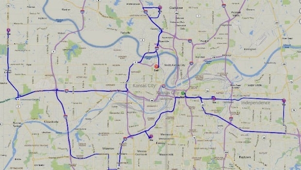
17th August 2018
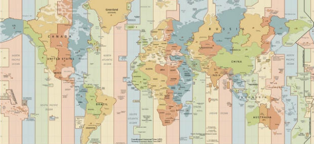
Microsoft launches Bing Maps Time Zone API