
e-GEOS (Telespazio/ASI) to set up advanced center
19th December 2018
e-GEOS (Telespazio/ASI) to set up advanced center19th December 2018
e-GEOS (Telespazio/ASI) to set up advanced center18th December 2018
Motion Auto selects HERE Technologies' location platform
18th December 2018
OGC appoints Kumar Navulur and Frank Suykens to Board of Directors18th December 2018
AND signs important agreement with an OEM’s subsidiary
18th December 2018
OGC and World Geospatial Industry Council sign Memorandum of Understanding

14th December 2018
FREE Registration Opens for Ocean Business 2019
14th December 2018
Mark Reichardt receives special edition of OGC Gardels Award13th December 2018
Sercel Awarded Contract for Land Seismic Acquisition System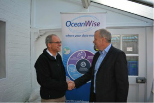
11th December 2018
OceanWise and State 21 re-affirm their partnership
11th December 2018
NavVis Raises $35.5M to Accelerate Global Expansion
10th December 2018
GeoPlace working with the Department of Transport10th December 2018
Blue Marble Releases Geographic Calculator 20197th December 2018
HERE and INRIX Form Partnership to Move Mobility Forward6th December 2018
Esri named a leader in location intelligence in Forrester Wave6th December 2018
Carlson Software Releases Carlson iCAD 20196th December 2018
USGIF Appoints New Vice President of Programs
6th December 2018
OGC seeks public comment on PipelineML candidate standard
5th December 2018
OceanWise Workshop Bigger and Better than ever!5th December 2018
GeoCue Enables Third Party GNSS Use with Phantom 4 RTK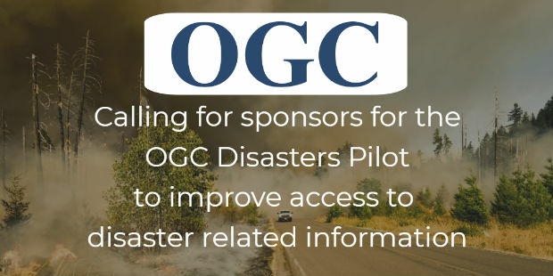
5th December 2018
Use of online disaster-related geographic information
5th December 2018
UK Power Networks deploys Cartosys location-based services toolkit5th December 2018
Boundless Awarded Certificate of Networthiness by U.S. Army
5th December 2018
Esri Partners with the Ocean Health Index Team5th December 2018
Hexagon Selected by Greater Toronto Airports Authority
4th December 2018
Global expansion on the horizon for mapping technology firm
4th December 2018
Landmark Information Group announces senior leadership appointments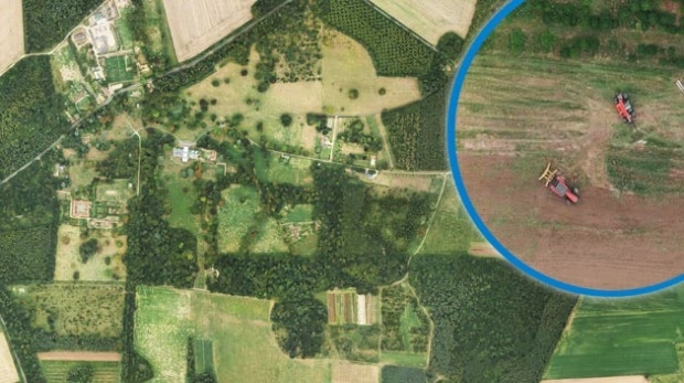
4th December 2018
Bluesky Aerial Images Help Reveal Secrets of Farm Management
3rd December 2018
Disy releases new version of spatial ETL tool for Talend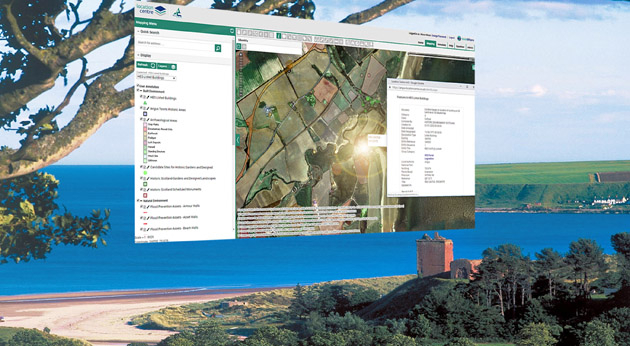
29th November 2018
Angus Council Harnesses Spatial Data with thinkWhere Cloud Tech
28th November 2018
EuroGeographics and Geospatial Media sign Strategic Partnership
28th November 2018
Announcing the OGC Energy & Utilities Summit28th November 2018
Add Geographic Intelligence to your Software Projects
28th November 2018
What apps can I use with Trimble Catalyst?
27th November 2018
Adoption of two jointly developed OGC/W3C standards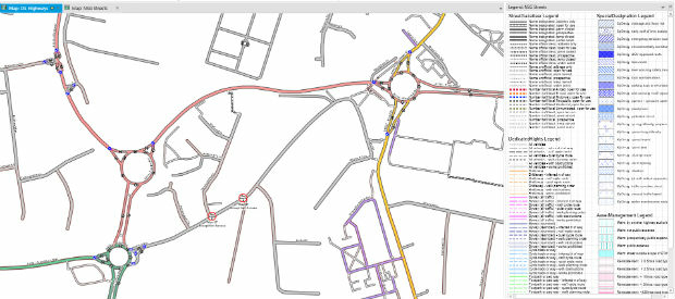
27th November 2018
miso Releases OS Highways Network Translator to the OpenSource Community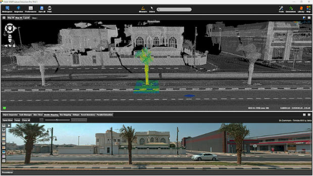
27th November 2018
Orbit GT releases version 19 of 3D Mapping portfolio
27th November 2018
Geospatial World Forum 2019 announces first 100 speakers
27th November 2018
SimActive Software Used for Large-Scale Photogrammetry Project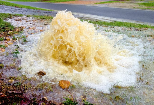
23rd November 2018
Rezatec to provide new water leak risk analysis tool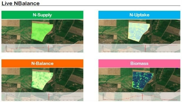
23rd November 2018
Airbus and John Deere receive silver medal of SIMA innovation award
23rd November 2018
UK Hydrographic Office presents Guyana with marine geospatial data23rd November 2018
Pix4D Dresses Up In Retro For Cyber Monday
21st November 2018
Full Motion Video (FMV) Support to LineVision Desktop20th November 2018
OceanWise further improves integration of its environmental data