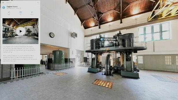
Interactive, fully immersive 3D buildings online
19th March 2019
Interactive, fully immersive 3D buildings online
19th March 2019
Interactive, fully immersive 3D buildings online19th March 2019
Don't Miss The Premier GEOINT Event of the Year

18th March 2019
Reliable Environmental Monitoring Data from Anywhere to Anyone!18th March 2019
Offshore Survey 2019 Announces Keynote Speakers
18th March 2019
Orbit GT selected in Top 5 for Smart Territories award at BIM World, Paris
15th March 2019
OGC invites you to a rail-themed Integrated Digital Built Environment14th March 2019
CompassCom® is Releasing CompassTrac® v7.3 MRM/ IoT Platform
14th March 2019
CycloMedia Technologies is Associate Sponsor at Geospatial World Forum 2019
13th March 2019
Introducing the senseFly eBee X with MicaSense RedEdge-MX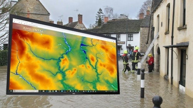
13th March 2019
Bluesky 3D Terrain Models Upgrade Ambiental Risk Analytics’ UK Flood Risk Map
13th March 2019
PIX4D announces first user conference in Denver, Colorado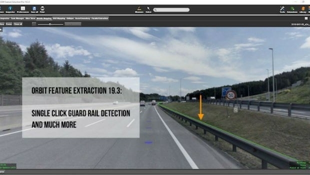
13th March 2019
Orbit GT releases version 19.3 of its 3D Mapping portfolio
12th March 2019
Oracle is Associate Sponsor at Geospatial World Forum 201912th March 2019
Berlin Airport Now Provides Mobile Wayfinding To Guide Travelers!
12th March 2019
Golden Software Releases Grapher 14 with Enhanced Plotting Functions
11th March 2019
Award for BIM Enabler/Consultant of the Year11th March 2019
OceanWise, in collaboration with Marico Marine,7th March 2019
FREQUENTIS contributes to Mission Critical Services Standard testing
7th March 2019
Esri Awards Schneider Electric for Exceptional Achievement7th March 2019
Esri to participate in Buffalo Civic Innovation Eco Challenge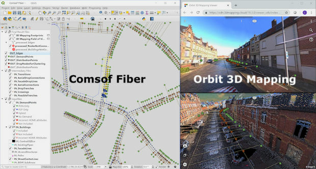
7th March 2019
Orbit GT and Comsof to present at FTTH Conference 2019, Amsterdam.
6th March 2019
Hexagon and Frequentis Partner for Integrated Control Room Solutions6th March 2019
Several Must-Hear Speakers Added to the GEOINT 2019 Agenda
5th March 2019
Dennis Hirota is Titans of Technology Hall of Fame Recipient!5th March 2019
GeoSpock strikes commercial partnership with Smart Cambridge5th March 2019
GeoSpock strikes commercial partnership with Smart Cambridge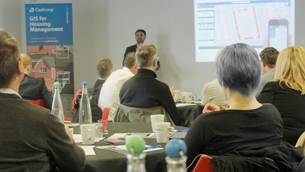
5th March 2019
Cadcorp announces Housing Conference dates5th March 2019
Cityworks Recognized for Exceptional Partnerships at Esri Partner Conference4th March 2019
Exceptional Achievement at Partner Conference
3rd March 2019
Ocean Careers 2019 Launches Inspiring Programme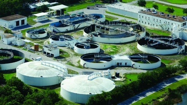
2nd March 2019
Digital Water Works, Inc. Receives Strategic Investment from Bentley Systems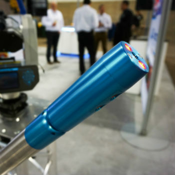
2nd March 2019
Carlson Unveils New C-ALS® Gyro at SME 20191st March 2019
Esri acquires indoor.rs and releases ArcGIS Indoors
1st March 2019
Nominations for the Year in Infrastructure 2019 Awards Program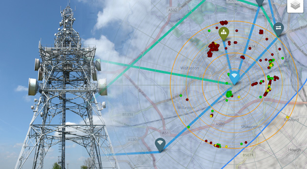
28th February 2019
Bluesky 3D Models Improve Mobile, 5G and Smart City Network Planning27th February 2019
Palatiello Promotes USGS 3DEP Before Congress27th February 2019
Maxar Technologies’ MDA Aids Preservation of Indonesian Rainforest

26th February 2019
GC invites you to its ‘Mixed Reality to the Edge’ Workshop
26th February 2019
TCarta Wins Contract to Map Seafloor around Remote Pacific Island Nation
26th February 2019
Rightware and HERE reimagine the digital automotive user experience26th February 2019
Global Mapper v.20.1 Now Available with Path Profile Zooming26th February 2019
Commercial UAV Expo Americas Announces Massive Support
26th February 2019
OGC invites you to participate in its Maritime Limits and Boundaries Pilot26th February 2019
Hexagon Acquires Thermopylae Sciences & Technology