Image & text analytics through CASPAR02, the Combined Automated Semantic Processing Array project (from import)

Image & text analytics through CASPAR02, the Combined Automated Semantic Processing Array project

7th March 2019

Image & text analytics through CASPAR02, the Combined Automated Semantic Processing Array project
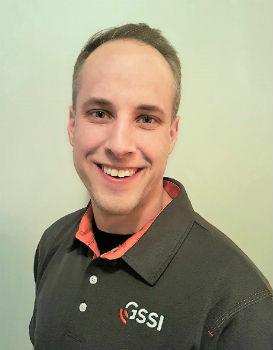
GSSI Announces New Sales Professional for Western Canada (from import)

GSSI Announces New Sales Professional for Western Canada

7th March 2019

GSSI Announces New Sales Professional for Western Canada
Hexagon and Frequentis Partner for Integrated Control Room Solutions (from import)

Hexagon and Frequentis Partner for Integrated Control Room Solutions

6th March 2019

Hexagon and Frequentis Partner for Integrated Control Room Solutions
ERM Advanced Telematics launches easy to install UBI products (from import)

ERM Advanced Telematics launches easy to install UBI products

6th March 2019

ERM Advanced Telematics launches easy to install UBI products

Several Must-Hear Speakers Added to the GEOINT 2019 Agenda

6th March 2019

Several Must-Hear Speakers Added to the GEOINT 2019 Agenda
Dennis Hirota is Titans of Technology Hall of Fame Recipient! (from import)

Dennis Hirota is Titans of Technology Hall of Fame Recipient!

5th March 2019

Dennis Hirota is Titans of Technology Hall of Fame Recipient!

Cityworks Recognized for Exceptional Partnerships at Esri Partner Conference

5th March 2019

Cityworks Recognized for Exceptional Partnerships at Esri Partner Conference

Exceptional Achievement at Partner Conference

4th March 2019

Exceptional Achievement at Partner Conference

Sensor Solutions International Conference 2019

2nd March 2019

Sensor Solutions International Conference 2019

Esri acquires indoor.rs and releases ArcGIS Indoors

1st March 2019

Esri acquires indoor.rs and releases ArcGIS Indoors
Nominations for  the Year in Infrastructure 2019 Awards Program (from import)

Nominations for the Year in Infrastructure 2019 Awards Program

1st March 2019

Nominations for the Year in Infrastructure 2019 Awards Program
AEC Next and SPAR 3D 2019 Keynote Speakers Announced (from import)

AEC Next and SPAR 3D 2019 Keynote Speakers Announced

1st March 2019

AEC Next and SPAR 3D 2019 Keynote Speakers Announced
GC invites you to its ‘Mixed Reality to the Edge’ Workshop (from import)

GC invites you to its ‘Mixed Reality to the Edge’ Workshop

26th February 2019

GC invites you to its ‘Mixed Reality to the Edge’ Workshop

Hexagon Acquires Thermopylae Sciences & Technology
26th February 2019

Hexagon Acquires Thermopylae Sciences & Technology
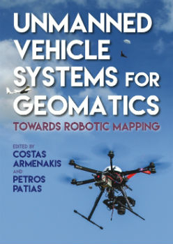
Unmanned Vehicle Systems in Geomatics (from import)

Unmanned Vehicle Systems in Geomatics

25th February 2019

Unmanned Vehicle Systems in Geomatics
Blockchain and Distributed Ledger Technologies (BDLT) Domain Working Group (from import)
Blockchain and Distributed Ledger Technologies (BDLT) Domain Working Group

25th February 2019

Blockchain and Distributed Ledger Technologies (BDLT) Domain Working Group
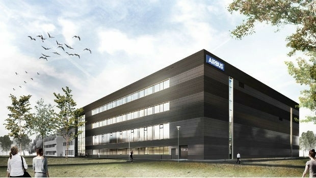
Satellite building on an entirely new scale (from import)

Satellite building on an entirely new scale

22nd February 2019

Satellite building on an entirely new scale
OGC invites you to indulge in a SELFIE (from import)

OGC invites you to indulge in a SELFIE

22nd February 2019

OGC invites you to indulge in a SELFIE

IDTechEx Show! Agenda

21st February 2019

IDTechEx Show! Agenda

Internet of Things Applications Europe 2019
21st February 2019

Internet of Things Applications Europe 2019

GeoData Summit

21st February 2019

GeoData Summit

WSA Global Congress 2019

20th February 2019

WSA Global Congress 2019
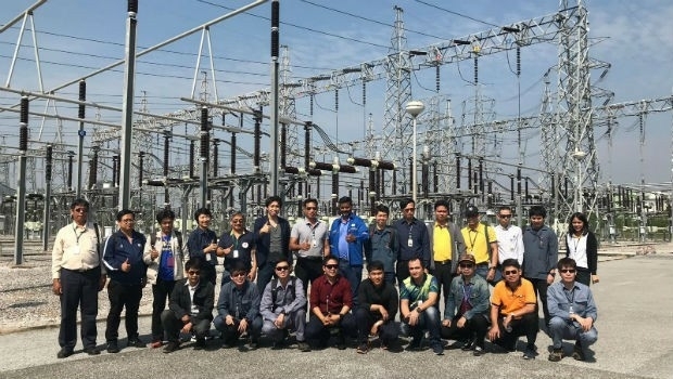
Improves Accuracy On Replica Grade 1 Listed Building Redevelopment (from import)
Improves Accuracy On Replica Grade 1 Listed Building Redevelopment

20th February 2019

Improves Accuracy On Replica Grade 1 Listed Building Redevelopment
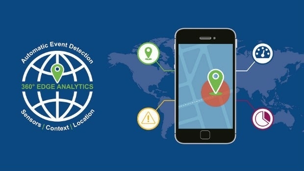
Nanotron and ClearBlade partner to deliver 360° Edge Analytics (from import)
Nanotron and ClearBlade partner to deliver 360° Edge Analytics

19th February 2019

Nanotron and ClearBlade partner to deliver 360° Edge Analytics
INTERGEO - Post Show Report 2018 (from import)

INTERGEO - Post Show Report 2018

19th February 2019

INTERGEO - Post Show Report 2018

TCCA's Critical Communications Europe

19th February 2019

TCCA's Critical Communications Europe

BAPCO and CC EUROPE 2019

19th February 2019

BAPCO and CC EUROPE 2019
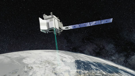
Mapping and Monitoring the Carbon Content of Earth’s Forests (from import)
Mapping and Monitoring the Carbon Content of Earth’s Forests

18th February 2019

Mapping and Monitoring the Carbon Content of Earth’s Forests

GeoDATA News

15th February 2019

GeoDATA News
Terra Drone Optimizes Long-Distance Power Line inspection (from import)

Terra Drone Optimizes Long-Distance Power Line inspection

15th February 2019

Terra Drone Optimizes Long-Distance Power Line inspection
OGC requests public comment on draft charter for new Portrayal Domain Working Group (from import)

OGC requests public comment on draft charter for new Portrayal Domain Working Group

15th February 2019

OGC requests public comment on draft charter for new Portrayal Domain Working Group

HERE establishes groundbreaking AI research institute

15th February 2019

HERE establishes groundbreaking AI research institute
Bentley Systems Announces OpenUtilities™ Solutions for DER (from import)

Bentley Systems Announces OpenUtilities™ Solutions for DER

15th February 2019

Bentley Systems Announces OpenUtilities™ Solutions for DER
OGC Seeks Public Comment on MetOcean profile and extensions to WCS 2.1 (from import)

OGC Seeks Public Comment on MetOcean profile and extensions to WCS 2.1

15th February 2019

OGC Seeks Public Comment on MetOcean profile and extensions to WCS 2.1

International Navigation Forum

14th February 2019

International Navigation Forum
SIMFE 2019 (from import)

SIMFE 2019

14th February 2019

SIMFE 2019
New for 2019 – GeoDATA Forum co-locates at GEO Business 2019 (from import)

New for 2019 – GeoDATA Forum co-locates at GEO Business 2019

12th February 2019

New for 2019 – GeoDATA Forum co-locates at GEO Business 2019
SimActive Expands its Partner Network for Medium Format Camera Solutions (from import)

SimActive Expands its Partner Network for Medium Format Camera Solutions

12th February 2019

SimActive Expands its Partner Network for Medium Format Camera Solutions
Exalto Emirates adds Martek's Anti Drone System to it's portfolio (from import)

Exalto Emirates adds Martek's Anti Drone System to it's portfolio

11th February 2019

Exalto Emirates adds Martek's Anti Drone System to it's portfolio

The ISDE11 Call for Abstracts is now open

8th February 2019

The ISDE11 Call for Abstracts is now open
Oil Spill Response Limited (OSRL) Announces New Global UAV Service (from import)

Oil Spill Response Limited (OSRL) Announces New Global UAV Service

8th February 2019

Oil Spill Response Limited (OSRL) Announces New Global UAV Service
Terra Drone Invested in Indonesia’s Drone Service Company AeroGeosurvey (from import)

Terra Drone Invested in Indonesia’s Drone Service Company AeroGeosurvey

8th February 2019

Terra Drone Invested in Indonesia’s Drone Service Company AeroGeosurvey

Iridium Declares Victory; $3 Billion Satellite Constellation Upgrade Complete

8th February 2019

Iridium Declares Victory; $3 Billion Satellite Constellation Upgrade Complete
11th International Symposium on Digital Earth 2019 (from import)

11th International Symposium on Digital Earth 2019

6th February 2019

11th International Symposium on Digital Earth 2019

Intelligent Transport Systems European Congress 2019

5th February 2019

Intelligent Transport Systems European Congress 2019

2019 URISA Exemplary Systems in Government Awards Process Opens

5th February 2019

2019 URISA Exemplary Systems in Government Awards Process Opens
OGC invites you to participate in its UML-to-GML Application Schema (from import)

OGC invites you to participate in its UML-to-GML Application Schema

5th February 2019

OGC invites you to participate in its UML-to-GML Application Schema

Digital platform supported by IBM, Geovation and Ordnance Survey

31st January 2019

Digital platform supported by IBM, Geovation and Ordnance Survey