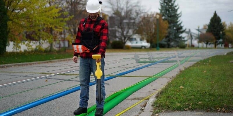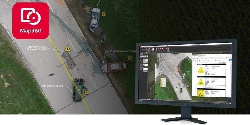
Leica Geosystems announces latest version of public safety software
3rd June 2020
Leica Geosystems announces latest version of public safety softwareComputer-based tools and techniques for the storage, processing, querying and visualisation of geographic data, most notably in the form of maps, charts and atlases
This topic covers the software systems and services– both desktop, mobile and cloud-based - that are used across the public, private and consumer sectors to store, process and display geographic data, most notably in the form of maps, charts and atlases. It also covers the tools provided by such software and cloud-based services to manipulate, analyse and query that data, as well as to integrate a variety of non-spatial datasets. See also Geographic Information Systems (GIS)
3rd June 2020
Leica Geosystems announces latest version of public safety software
2nd June 2020
Mitsubishi Corporation and NTT complete acquisition of 30% stake in HERE Technologies
2nd June 2020
Simactive announces Webinar on How to Calibrate and Process Multispectral Imagery
29th May 2020
OceanWise release innovative Global Raster Chart dataset
28th May 2020
Landmark appoints Alex Wrottesley as Managing Director of Environment and Mapping division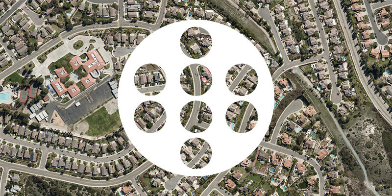

27th May 2020
Landmark extends Promap Premium Layers with free access to all layers until the end of June
26th May 2020
HERE technologies appoints Grey Matter as one of their distributors
26th May 2020
APCOA and HERE to partner on joint digital parking initiative
22nd May 2020
European Aerial Mappers Challenge Data Streaming Competitors