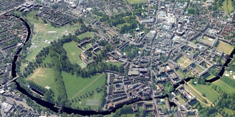
Bluesky partners with Sensat providing data for new visualisation tool
21st December 2023
Bluesky partners with Sensat providing data for new visualisation toolComputer-based tools and techniques for the storage, processing, querying and visualisation of geographic data, most notably in the form of maps, charts and atlases
This topic covers the software systems and services– both desktop, mobile and cloud-based - that are used across the public, private and consumer sectors to store, process and display geographic data, most notably in the form of maps, charts and atlases. It also covers the tools provided by such software and cloud-based services to manipulate, analyse and query that data, as well as to integrate a variety of non-spatial datasets. See also Geographic Information Systems (GIS)
21st December 2023
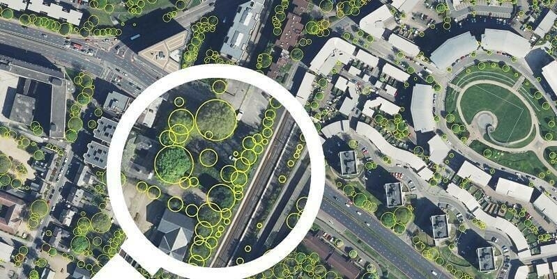
Bluesky partners with Sensat providing data for new visualisation tool
21st December 2023
TomTom joins forces with Microsoft to bring Generative AI into the vehicle
15th December 2023
HERE HD Live Map powers BMW Personal Pilot Level 3 highly automated driving function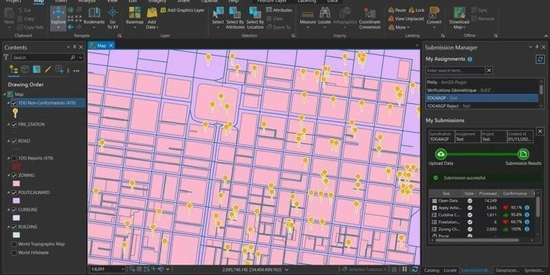
8th December 2023
1Spatial Launches 1Data Gateway For ArcGIS Pro, A Revolutionary Data Quality Add-In For Esri ArcGIS Pro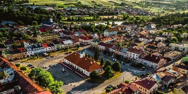
8th December 2023
Swietokrzyskie Province selects Hexagon for digitisation project with potential to expand to regional investment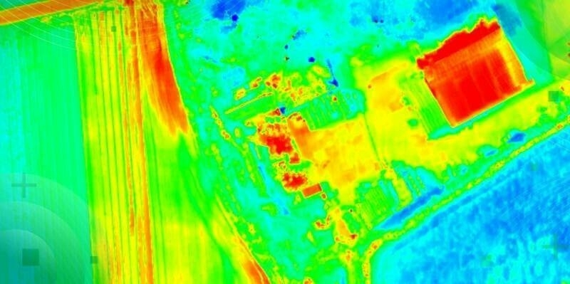
7th December 2023
TOPODRONE-AGROWING collaboration aims at advancing drone thermal mapping
1st December 2023
Pitkin County 911 To Modernise Dispatch, Emergency Communications With Hexagon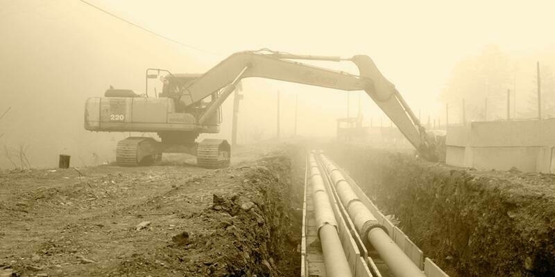
27th November 2023
New digital map of underground pipes and cables expected to grow economy by £5 billion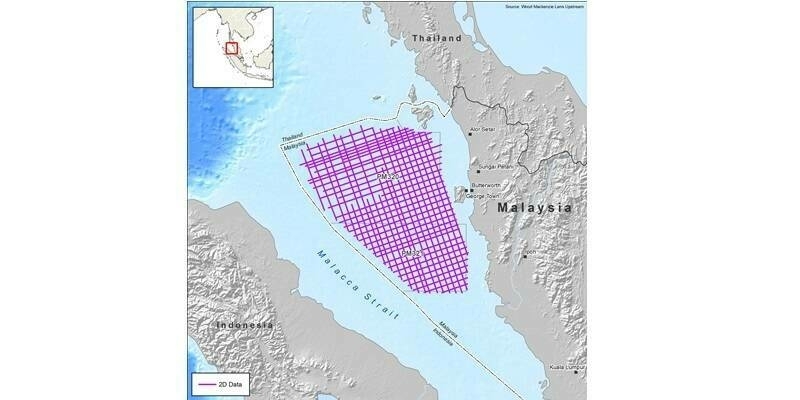
20th November 2023
CGG to Acquire 8,000 km of Multi-Client Data Offshore Malaysia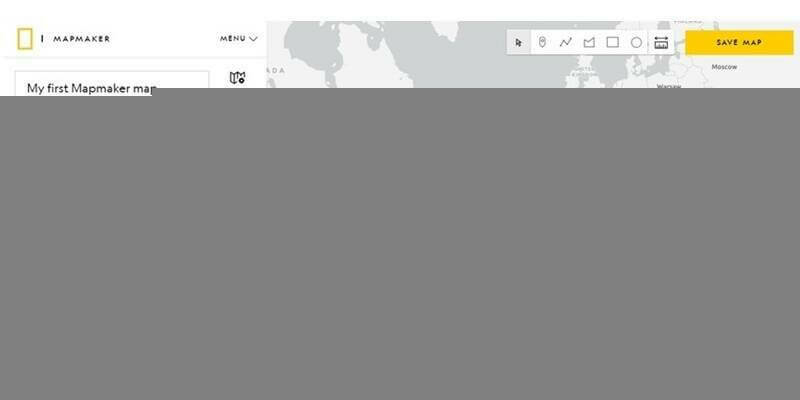
20th November 2023
Esri and National Geographic Society Launch National Geographic MapMaker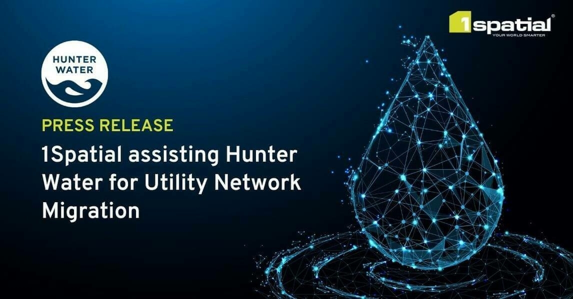
14th November 2023
1Spatial assisting Hunter Water for Utility Network Migration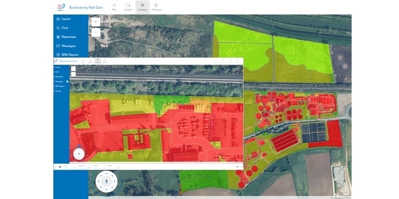
2nd November 2023
Anglian Water Alliance Streams Bluesky Aerial Mapping for Web App
1st November 2023
National Highways recognised for geospatial innovation by Esri global award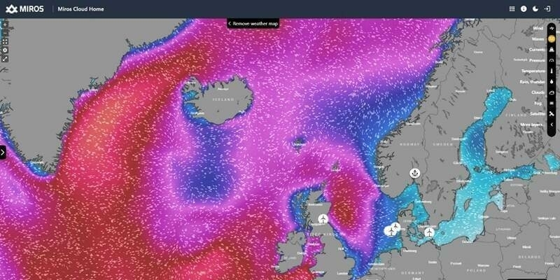
31st October 2023
Miros expands ocean insights offering to offshore sectors
19th October 2023
Ordnance Survey launches significant buildings and transport enhancements
4th October 2023
Trimble receives Merit Award for Technology Innovation
27th September 2023
Mappedin Empowers Communities to Map Every Building With Game-Changing App
25th September 2023
Fugro supports coastal resilience in Florida with new seafloor mapping contract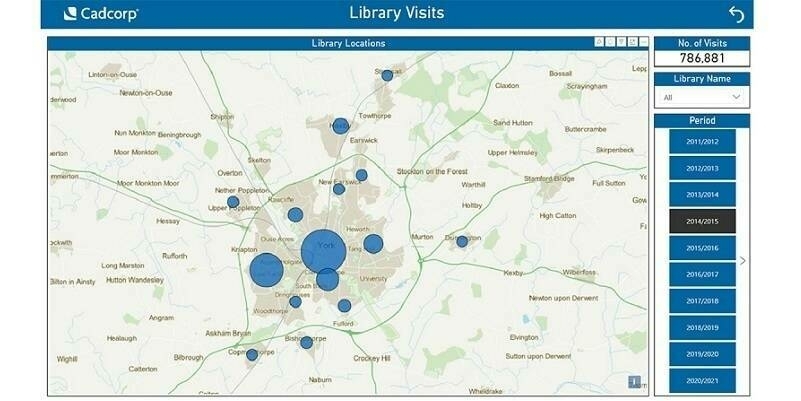
18th September 2023
Cadcorp supports customers in gaining deeper insight from data
5th September 2023
GIS People Introduces Free Educational eBook: Open-Source GIS vs Commercial GIS
1st September 2023
EuroGeographics and International Cartographic Association agree collaboration to unlock power of location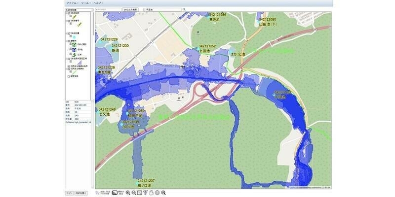
30th August 2023
Flood Hazard Web GIS in Japan Developed with TatukGIS SDK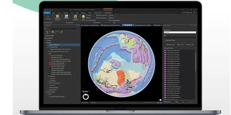
25th August 2023
Getech Releases Globe 2023 with New Capabilities for Resource Exploration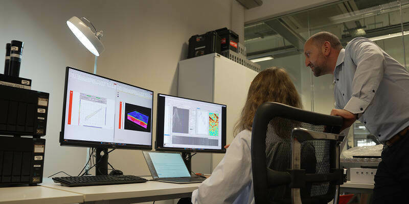
24th August 2023
STRYDE launches integrated in-field data processing service for faster decision-making

25th July 2023
Torus gains clear and compelling insights with Cloud GIS and web mapping
11th July 2023
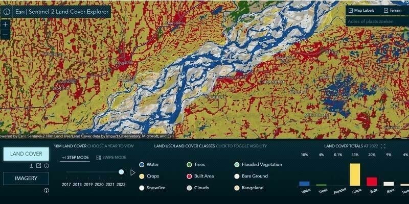
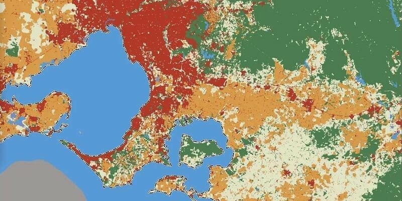
Esri Releases Latest Land Cover Map with Improved AI Modeling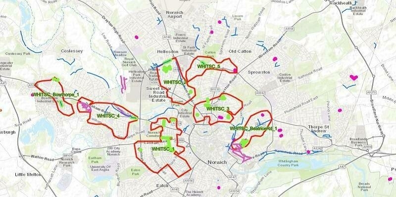
20th June 2023
Anglian Water reduces flooding and pollution incidents with real-time picture of risk
5th June 2023
Birmingham Creates Interactive Mapping Portal using Bluesky Tree Data
5th May 2023
Beneath The Waves and Hexagon win Geospatial World Leadership Award for advancing Blue Carbon research in The Bahamas
28th April 2023
GAF AG provides support to the European Union’s knowledge hub for science, space, and digitalisation
26th April 2023
Bluesky and Ecopia Partner to Create First 3D Map of Ireland
22nd April 2023
Centralised database helps scientists better understand coral reefs
14th April 2023
Project launched to prototype large-scale high-value pan-European datasets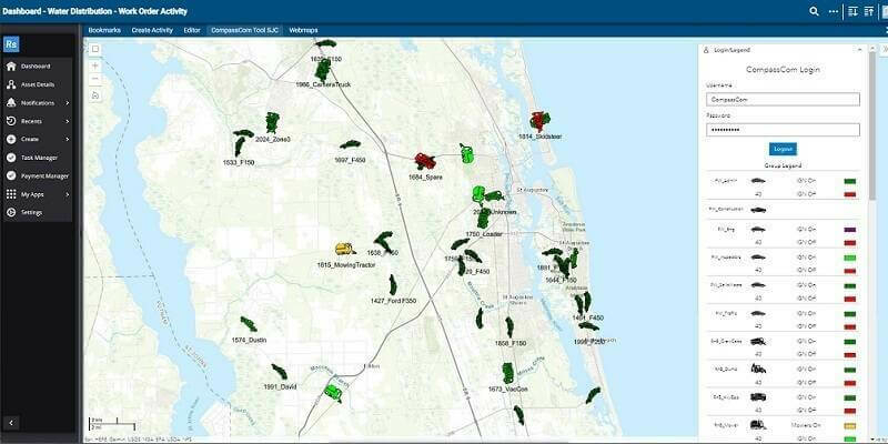
12th April 2023
CompassCom Releases CompassLDE Connectors for Cityworks Work Order Management Desktop and Office Modules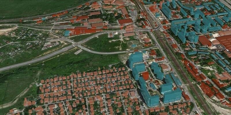
11th April 2023
GeoAlert releases new region-specific Building footprints AI models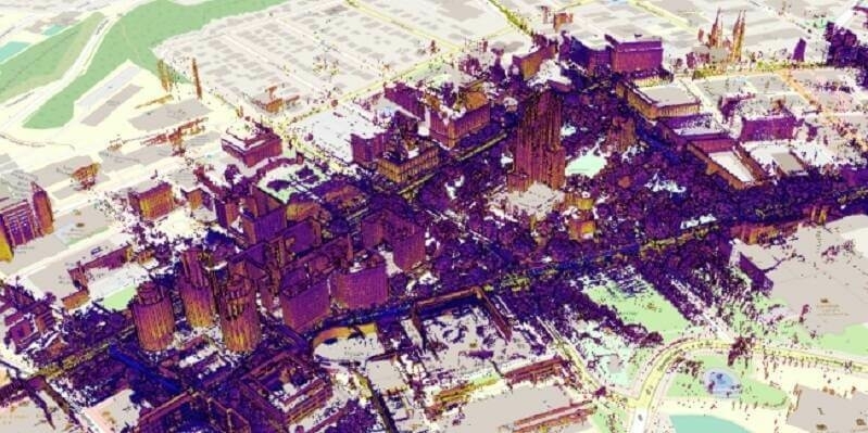
11th April 2023
Mach9 launches new geospatial production software to meet growing demand from the $3 trillion global infrastructure market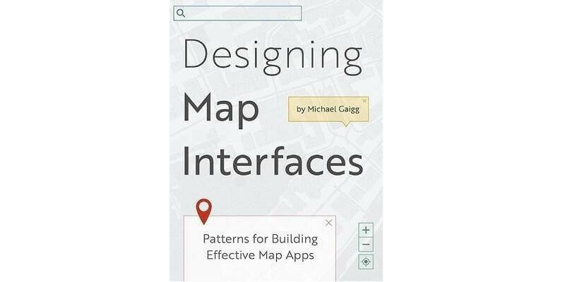
4th April 2023
Esri Book Demonstrates How to Create Map Apps with User Experience in Mind
30th March 2023
Impact Observatory Secures $5.9M Seed Round to Bring AI-powered Space-based Monitoring for Sustainability, Climate, and Environmental Risk
29th March 2023
Project launched to prototype large-scale high-value pan-European datasets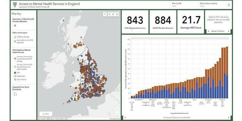
15th March 2023
First national picture of mental health service provision launched by Association of Mental Health Providers
7th March 2023
Pioneering study shows how flood risks can be considerably reduced
1st March 2023
Esri Enters into Agreement with United Nations Population Fund to Help Modernize National Statistics Programs