
Save €225! Early-bird pricing ends tomorrow
4th May 2017
Save €225! Early-bird pricing ends tomorrow
4th May 2017
Save €225! Early-bird pricing ends tomorrow4th May 2017
Hydrographic Surveys To Improve Maritime Safety In Papua New Guinea
4th May 2017
Mesa 2 Rugged Tablet Now Runs on Android OS3rd May 2017
HERE placed at the core of connected services for drivers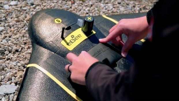
3rd May 2017
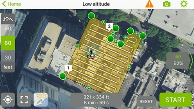
senseFly Corridor solution boosts linear mapping projects efficiency3rd May 2017
Global Mapper and Geographic Calculator Free Academic License Program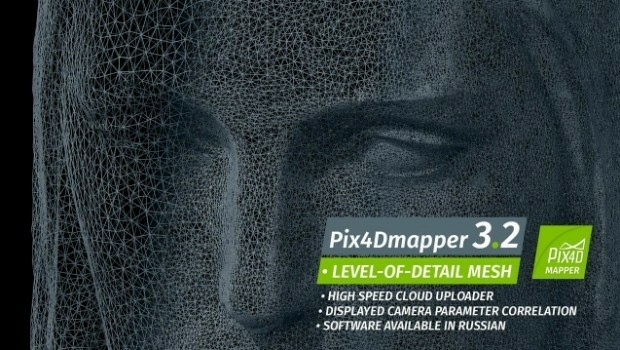
2nd May 2017
Pix4Dmapper 3.2 Now Generates Tiled Level-of-Detail (LoD) Mesh

2nd May 2017
Delivering On-Demand Geoanalytics at Scale - A Harris Webinar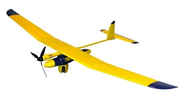
1st May 2017
Elbit Systems of America Presents UAS Capabilities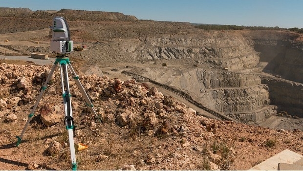
1st May 2017
Maptek advanced modelling and analysis solutions showcased at CIM28th April 2017
JOIN THE LEICA iCON BUILD WEBINAR ON 4 MAY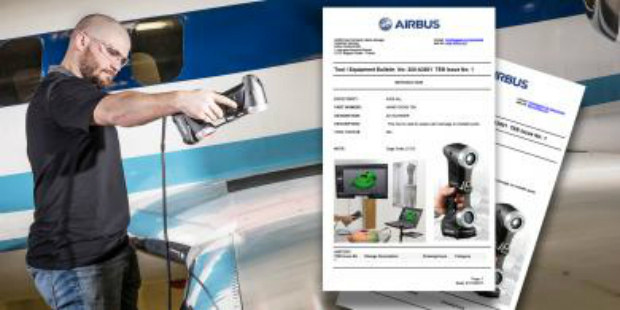
28th April 2017
Creaform HandySCAN 3D scanner now certified by Airbus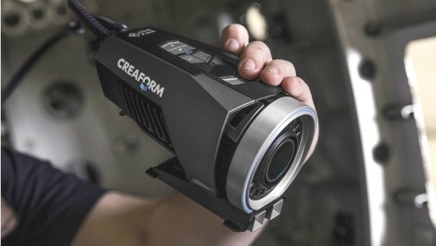
28th April 2017
More efficient construction management with Pix4Dbim
28th April 2017
Juniper Systems Limited Welcomes Brian Smyth28th April 2017
Join the Leica iCON build webinar on 4 May
27th April 2017
HERE extends partnership with Toyota in North America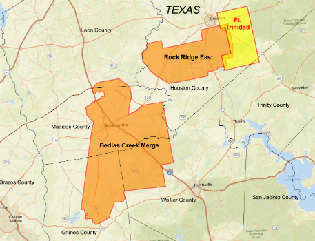
27th April 2017
CGG Delivers Reservoir-Oriented Data for Fort Trinidad in East Texas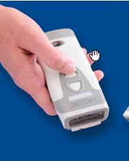
27th April 2017
CartoPac Unveils Barcode Scanner for Gas Utility Pipeline Mapping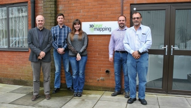
27th April 2017
3D Laser Mapping Mines Good Fortunes in Africa
26th April 2017
Telogis launches Spotlight to improve vehicle health, driver behaviour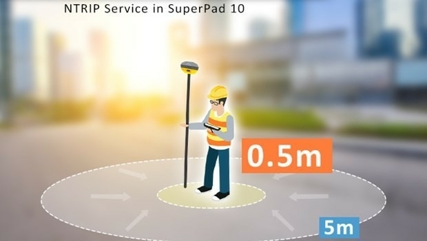
26th April 2017
Enjoying the High-Accuracy Positioning with the Latest SuperPad 10
25th April 2017
Airware and senseFly Sign Global Partnership Agreement
25th April 2017
NAUTIZ X2 All-In-One Rugged Android Handheld
25th April 2017
RuggON Announces the VX-601, the Rugged In-vehicle Terminal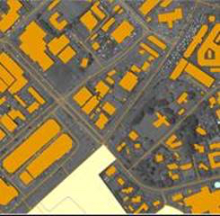
24th April 2017
East View Geospatial Announces Training Data Library24th April 2017
Reminder for the Open Data Questionnaire by 30 April please!24th April 2017
Improving the Usability of Geospatial Data

21st April 2017
Environmental Data Collection & the Need for Speed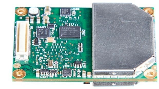
21st April 2017
New GNSS receiver boards with expanded constellation tracking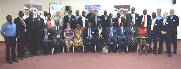
20th April 2017
Geodata access for African resource development
19th April 2017
Space Flight Laboratory (SFL) at IAA Berlin
19th April 2017
EarthCARE: Japanese Cloud Radar meets its spacecraft for first time
19th April 2017
Autonomous Vehicles – have we reached the end of the road?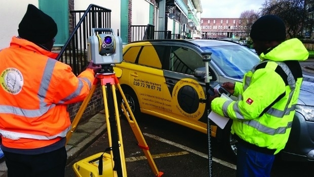

19th April 2017
SuperSurv Selected by Agricultural Company Socfinco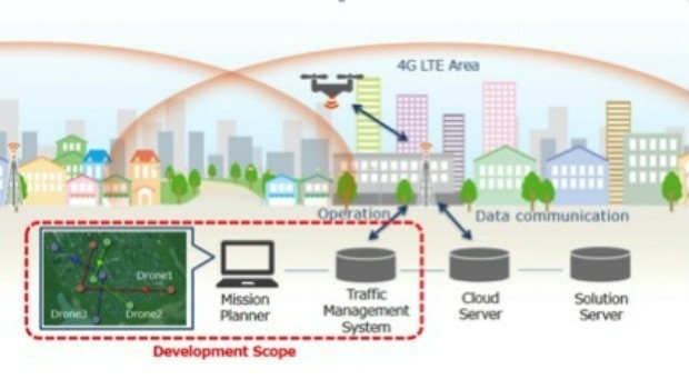
14th April 2017
KDDI and Terra Drone announce the invention of “4G LTE control system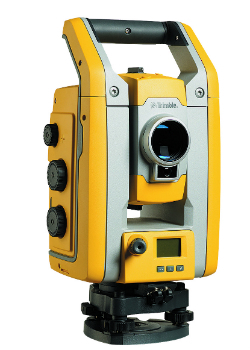
13th April 2017
Millimeter Accuracy for Monitoring Applications13th April 2017
GeoSmart adds Ambiental data to enhance its Flood Risk Assessments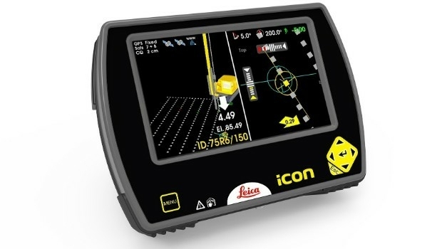
12th April 2017
Leica iCON now integrated in Liebherr LIPOS®
12th April 2017
Vertical Images: from film making to inspection
12th April 2017
Ecometrica lands on FT1000 list of Europe's fastest growing companies10th April 2017
Terra Drone’s Innovations take off at Brisbane’s Myriad Festival