
Remote sensing technologies key to the future of the oil palm industry
28th June 2017
Remote sensing technologies key to the future of the oil palm industry28th June 2017
Remote sensing technologies key to the future of the oil palm industry

27th June 2017
Assembly, Integration, and Test of OneWeb’s first satellites27th June 2017
Trimble Launches VRS Now Correction Service in France26th June 2017
Big success for first pan-European drone conference and trade fair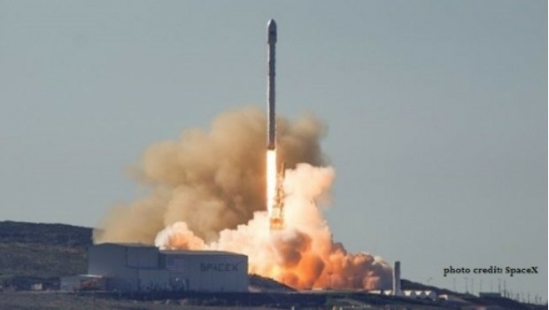
26th June 2017
Nine More Satellites in exactEarth's Real-Time Constellation Launched
26th June 2017
Orbit GT and WSP Group, Sweden update Gold Reseller status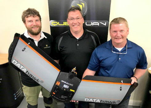
23rd June 2017
Precision Capture and QuestUAV Form Strategic Partnership
23rd June 2017
HR Wallingford rises to 15th place in NCE 100 rankings
23rd June 2017
Experience the future of mobility in the Mobility Lab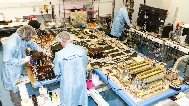
22nd June 2017
SSTL selected to build third batch of Galileo navigation payloads21st June 2017
PDF3D V2.14 Meets Demands of Drones, Scanners and 3D Design Apps
21st June 2017
Drone Inspections go nuclear with GPS and RADAR21st June 2017
Elbit to supply DIRCM Systems for a VIP Gulfstream G650 Aircraft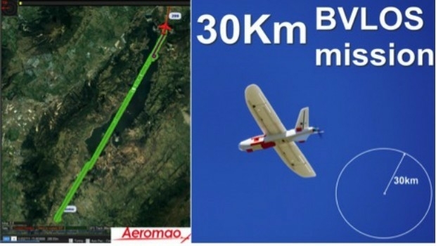
20th June 2017
Aeromapper Talon demonstrates BVLOS capabilities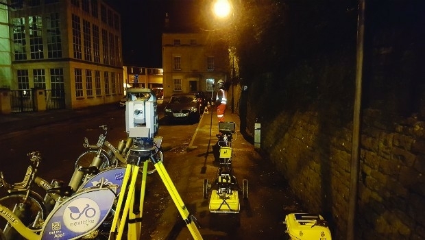
20th June 2017
What Depth can you Locate a Utility Service?
19th June 2017
Terra Drone Delves Deeper Into the Australian Market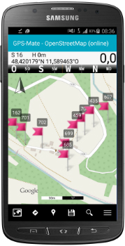
19th June 2017
KilletSoft converts Geodata for Navigation in free Map Services.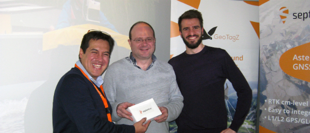
19th June 2017
Geostatistical seismic reservoir characterization solution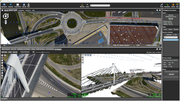
16th June 2017
Orbit GT releases UAS Mapping v17.1 with Cloud Upload feature
16th June 2017
Leica Geosystems’ GNSS networks now support Galileo, QZSS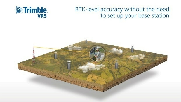
16th June 2017
Trimble Adds Galileo Support to its VRS Now Correction Service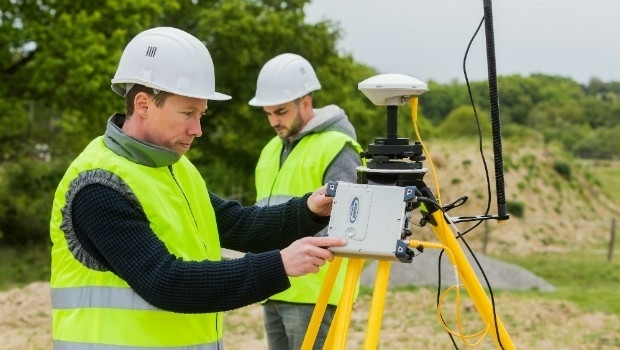
16th June 2017
Surveyors Provided with a Powerful Multi-application GNSS Solution15th June 2017
Role Of Site Characterisation In Project Risk Management15th June 2017
Leica Cyclone REGISTER 360 laser scanning software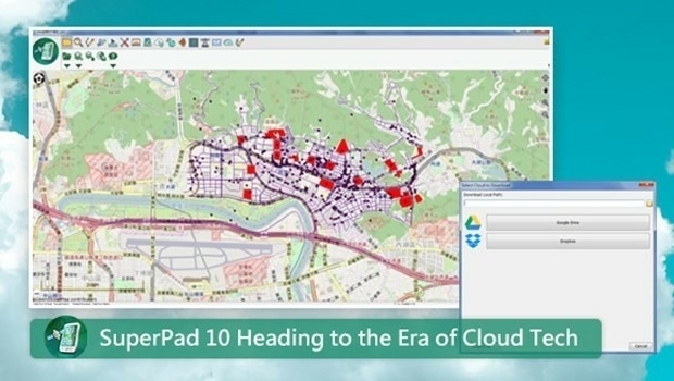
15th June 2017
SuperPad 10- Heading to the Era of Cloud Tech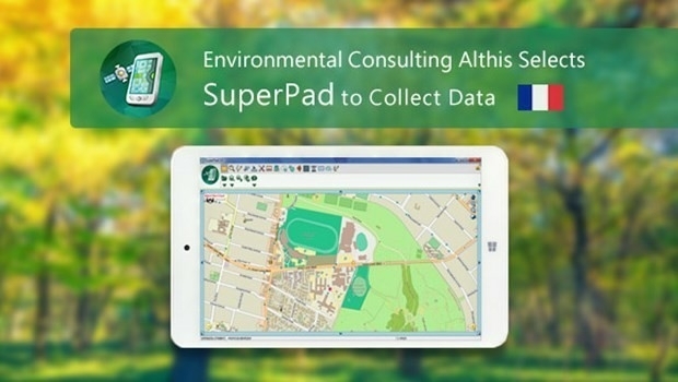
15th June 2017
French Environmental Consulting Althis Selects SuperPad to Collect Data
15th June 2017
Greencore Adopts 3g Camera Solution To Target Road Safety Improvements

15th June 2017
Innovation Award from Hexagon Safety & Infrastructure for Bayernwerk15th June 2017
Septentrio Delivers Greater performance, security and functionality_DLR_e.jpg)
14th June 2017
10 years of precision and reliability of TerraSAR-X satellite
14th June 2017
CGG Launches JumpStart Regional Geoscience Programs14th June 2017
Blue Marble LiDAR Workshop at the Esri UC in San Diego
13th June 2017
Hexagon Safety & Infrastructure Incident Command System Application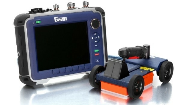
13th June 2017
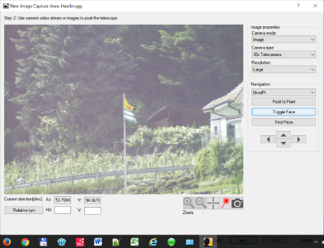
Leica Geosystems introduces imagery, live video stream to monitoring13th June 2017
European retail: Central and Eastern Europe gain-ing ground
13th June 2017
Pan-Europe commercial drone event starts next Tuesday. Don’t miss!
13th June 2017
Sercel Improves Versatility of 508XT Land Acquisition System12th June 2017
Drone Hero Finalists to Battle it Out in Brussels!
12th June 2017
Pan-European crisis and disaster management research EPISECC
12th June 2017
Diamond Aircraft and PIDSO develop an all-new antenna solution

9th June 2017
Martek appoint leading UAS “Subject Matter Expert” as Technical Manager