_(002).jpg)
Proactive Claims Management For Self-Insured Corporate Fleets
21st July 2017
Proactive Claims Management For Self-Insured Corporate Fleets
21st July 2017
Proactive Claims Management For Self-Insured Corporate Fleets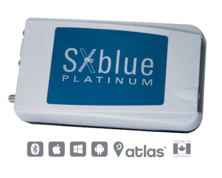
21st July 2017
SXblue Introduces Its Ultimate Survey Grade GNSS Receiver.jpg)
21st July 2017
Airbus built Sentinel-5 Precursor satellite ready for launch20th July 2017
LizardTech and Extensis Optimize Digital Asset Management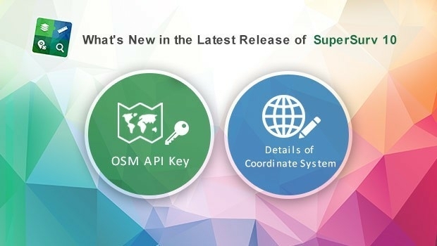
19th July 2017
What's New in the Latest Release of Award-Winning SuperSurv 10.jpg)
15th July 2017
5th Edition of the Unmanned Cargo Aircraft Conference.jpg)
14th July 2017
New Engineering Focus on Developing Customized GPR Solutions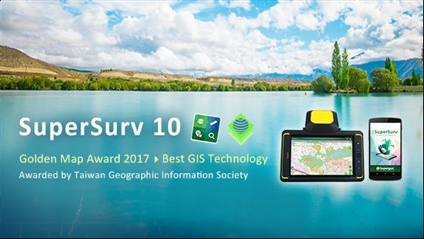
13th July 2017
SuperSurv 10 Wins Golden Map Award Issued by TGIS
13th July 2017
User-defined Coordinate System Will Soon Be Available in SuperSurv 10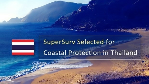
13th July 2017
SuperSurv 10 Selected for Coastal Protection in Thailand
13th July 2017
Bluesky Launches Nationwide Map of Building Heights
12th July 2017
Martek UAS announce ‘Gareth Knowles’ as the first UAS Strategist11th July 2017
ArcGIS 10.5 Enterprise Architecture Powers DigitalGlobe's Offerings.jpg)
11th July 2017
CATSURVEYS Launches their Purpose Driven Brand11th July 2017
UrtheCast and Esri partner in bringing imagery to life in ArcGIS10th July 2017
PCI Geomatics to Present Historical Airphoto Processing Case Study.jpg)
10th July 2017
Obstacle Obstruction Survey at Massachusetts Airport7th July 2017
HERE powers over-the-air map updates for Volvo cars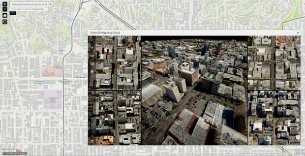
7th July 2017
Orbit GT and Vexcel Imaging showcase Oblique and Streetlevel 3D data
7th July 2017
Carbomap Ready to Map the World with Advanced LiDAR on Fixed-Wing UAV6th July 2017
MARSS Launches Networked Tactical Command And Control System6th July 2017
CompassCom to Release CompassTracker App at Esri User Conference
6th July 2017
Trimble Catalyst: High-Accuracy, On-Demand Positioning-as-a-Service
6th July 2017
Trimble Catalyst: High-Accuracy, On-Demand Positioning-as-a-Service
6th July 2017
senseFly announces worry-free service package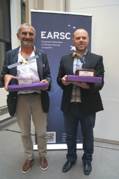
6th July 2017
And the winners of the EARSC Awards 2017 are...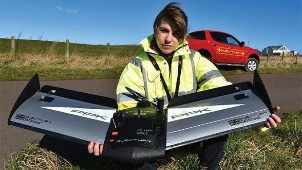
6th July 2017
Ultra-high accuracy version of DATAhawk now available` - DATAhawk PPK
6th July 2017
Esri CityEngine 2017 Makes Urban Planning More Efficient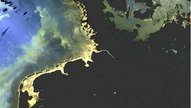
5th July 2017
Sentinel-3 OLCI and SLSTR Level 2 Products now fully operational
5th July 2017
Understanding large-scale plant health with Satellite Data
5th July 2017
Elbit Subsidiary Awarded Contract to Supply Electro Optic Systems4th July 2017
Copernicus App Lab is open for registration3rd July 2017
Scintillation on Galileo signals in Antarctica recorded
30th June 2017
Commonplace and Waltham Forest win best stakeholder engagement Award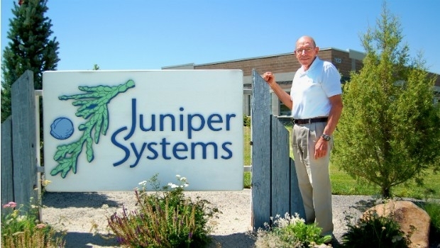
30th June 2017
Juniper Systems Founder Ron Campbell Retires29th June 2017
CompassDrone™ to Demo Integration of DJI Video with ArcGIS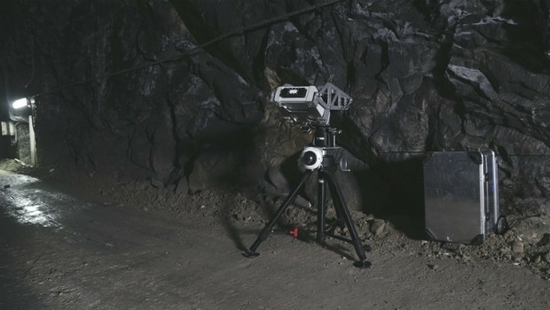
29th June 2017
Safety, stability monitoring radar for the underground mining industry29th June 2017
Elsevier and the Bureau of Economic Geology Partnership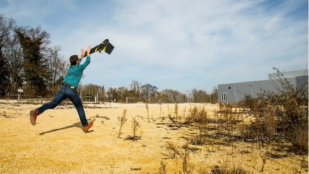
28th June 2017
senseFly brings drone education to Esri User Conference
28th June 2017
GSDI Small Grants Program 2017 proposals have been reviewed
28th June 2017
Elbit's Seagull USV Demonstrated Unique Operational Capabilities28th June 2017
Global Mapper Supports Cloud-Based Data Management28th June 2017
CompassCom to Debut Solutions at Esri User Conference