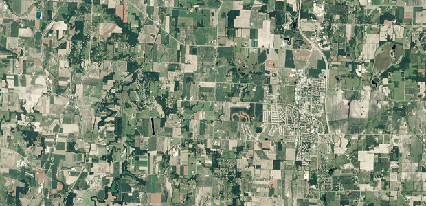
GAF AG Signs Distribution Partnership with Planet (from import)

GAF AG Signs Distribution Partnership with Planet

2nd August 2017

GAF AG Signs Distribution Partnership with Planet
Elbit Space Imaging Systems, JUPITER and VENµS Were Launched (from import)

Elbit Space Imaging Systems, JUPITER and VENµS Were Launched

2nd August 2017

Elbit Space Imaging Systems, JUPITER and VENµS Were Launched

Geovation Programme now open to location and land disruptors
1st August 2017

Geovation Programme now open to location and land disruptors
Manoeuvring the largest offshore floating facility ever built (from import)

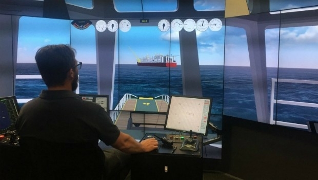
Manoeuvring the largest offshore floating facility ever built

1st August 2017

Manoeuvring the largest offshore floating facility ever built
INTERAERIAL SOLUTIONS - part of INTERGEO (from import)

INTERAERIAL SOLUTIONS - part of INTERGEO

1st August 2017

INTERAERIAL SOLUTIONS - part of INTERGEO

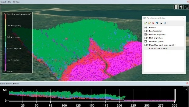
Skyline Software Systems Releases Terraexplorer for Web V7.0

31st July 2017

Skyline Software Systems Releases Terraexplorer for Web V7.0

UAS Mapping Certification Program at Commercial UAV Expo 2017
28th July 2017

UAS Mapping Certification Program at Commercial UAV Expo 2017
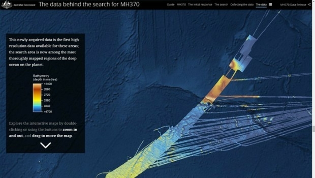
Unique Seafloor Data Provides New Insight To Scientific Communities (from import)

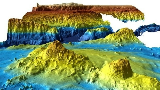
Unique Seafloor Data Provides New Insight To Scientific Communities

28th July 2017

Unique Seafloor Data Provides New Insight To Scientific Communities

Stakeholders in Global Smart City Market Seek New Funding Models

28th July 2017

Stakeholders in Global Smart City Market Seek New Funding Models
MicaSense Atlas is now integrated with Pix4D desktop software (from import)
MicaSense Atlas is now integrated with Pix4D desktop software

27th July 2017

MicaSense Atlas is now integrated with Pix4D desktop software
SuperSurv Selected for Road Data Collection in Meurthe-et-Moselle, France (from import)

SuperSurv Selected for Road Data Collection in Meurthe-et-Moselle, France

27th July 2017

SuperSurv Selected for Road Data Collection in Meurthe-et-Moselle, France
HERE launches supercharged Real-Time Traffic service (from import)
HERE launches supercharged Real-Time Traffic service

27th July 2017

HERE launches supercharged Real-Time Traffic service
Explore the World’s Geology with Getech’s Interactive Maps (from import)

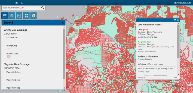
Explore the World’s Geology with Getech’s Interactive Maps

27th July 2017

Explore the World’s Geology with Getech’s Interactive Maps

GeoCue GNSS Direct Geopositioning System For Low Cost DJIDrones
27th July 2017

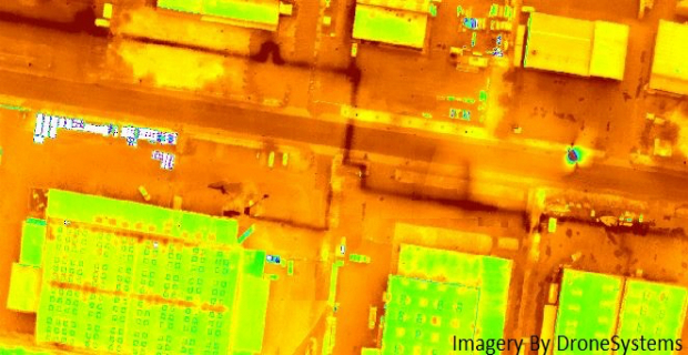
GeoCue GNSS Direct Geopositioning System For Low Cost DJIDrones
Icaros and TeAx Announce an Integrated Drone Mapping Solution (from import)
Icaros and TeAx Announce an Integrated Drone Mapping Solution

27th July 2017

Icaros and TeAx Announce an Integrated Drone Mapping Solution
Trimble Introduces New Android Application (from import)

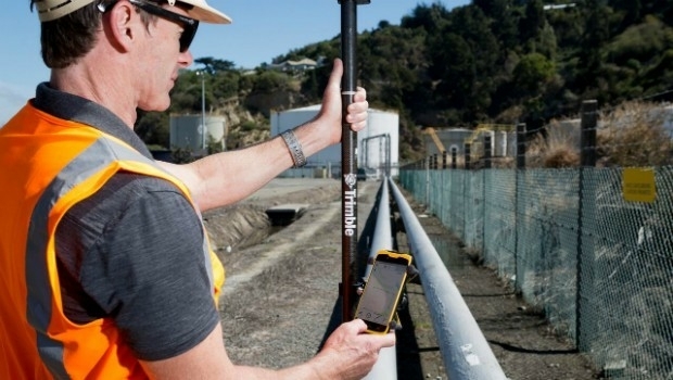
Trimble Introduces New Android Application

27th July 2017

Trimble Introduces New Android Application

Majority Of Drone Owners Welcome Flying Exam

26th July 2017

Majority Of Drone Owners Welcome Flying Exam
DFS launches free app to support safe drone flights (from import)
DFS launches free app to support safe drone flights

26th July 2017

DFS launches free app to support safe drone flights
CGG Extends Santos VII Multi-Client Survey (from import)

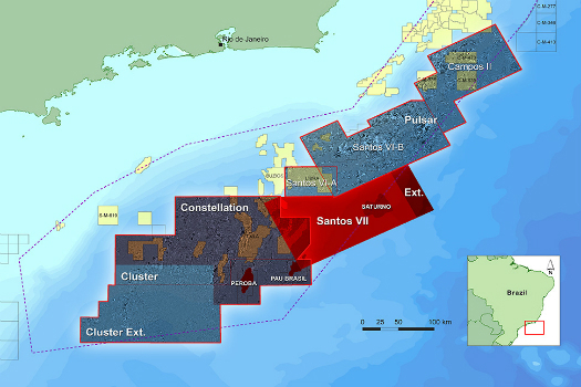
CGG Extends Santos VII Multi-Client Survey

26th July 2017

CGG Extends Santos VII Multi-Client Survey

DroneMapper Chooses Global Mapper for UAV Imagery Processing

26th July 2017

DroneMapper Chooses Global Mapper for UAV Imagery Processing

PCI Geomatics to Celebrate 35 years in Business

26th July 2017

PCI Geomatics to Celebrate 35 years in Business
DMT explores subsoil in the Dead Sea (from import)

DMT explores subsoil in the Dead Sea

25th July 2017

DMT explores subsoil in the Dead Sea
1Spatial Awarded Safe Software’s Top Partner Award 2016 (from import)
1Spatial Awarded Safe Software’s Top Partner Award 2016

25th July 2017

1Spatial Awarded Safe Software’s Top Partner Award 2016
Plowman Craven Launches Vogel R3D Rail Survey System (from import)

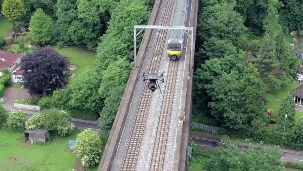
Plowman Craven Launches Vogel R3D Rail Survey System

24th July 2017

Plowman Craven Launches Vogel R3D Rail Survey System
FLIR Releases FLIR Blackfly S GigE Machine Vision Camera Family (from import)
FLIR Releases FLIR Blackfly S GigE Machine Vision Camera Family

24th July 2017

FLIR Releases FLIR Blackfly S GigE Machine Vision Camera Family
Border Security System Accepted by U.S. Customs and Border Protection (from import)

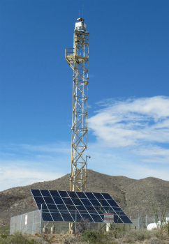
Border Security System Accepted by U.S. Customs and Border Protection

24th July 2017

Border Security System Accepted by U.S. Customs and Border Protection

Teledyne Odom MB2 multi beam system for Teesport UK
22nd July 2017

Teledyne Odom MB2 multi beam system for Teesport UK
Garmin Pilot adds synthetic vision to Android mobile devices (from import)

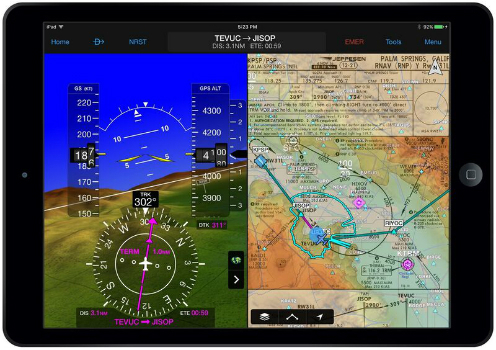
Garmin Pilot adds synthetic vision to Android mobile devices

21st July 2017

Garmin Pilot adds synthetic vision to Android mobile devices

Dennis Eagle launches StaySafe panic alarm app

21st July 2017

Dennis Eagle launches StaySafe panic alarm app
Proactive Claims Management For Self-Insured Corporate Fleets (from import)

Proactive Claims Management For Self-Insured Corporate Fleets

21st July 2017

Proactive Claims Management For Self-Insured Corporate Fleets
SXblue Introduces Its Ultimate Survey Grade GNSS Receiver (from import)

SXblue Introduces Its Ultimate Survey Grade GNSS Receiver

21st July 2017

SXblue Introduces Its Ultimate Survey Grade GNSS Receiver
Airbus built Sentinel-5 Precursor satellite ready for launch (from import)

Airbus built Sentinel-5 Precursor satellite ready for launch

21st July 2017

Airbus built Sentinel-5 Precursor satellite ready for launch

LizardTech and Extensis Optimize Digital Asset Management

20th July 2017

LizardTech and Extensis Optimize Digital Asset Management

PCI Geomatics Releases GXL 2017

19th July 2017

PCI Geomatics Releases GXL 2017
What's New in the Latest Release of Award-Winning SuperSurv 10 (from import)

What's New in the Latest Release of Award-Winning SuperSurv 10

19th July 2017

What's New in the Latest Release of Award-Winning SuperSurv 10
5th Edition of the Unmanned Cargo Aircraft Conference (from import)

5th Edition of the Unmanned Cargo Aircraft Conference

15th July 2017

5th Edition of the Unmanned Cargo Aircraft Conference

It's the end of an era - UAVS to close.

14th July 2017

It's the end of an era - UAVS to close.
New Engineering Focus on Developing Customized GPR Solutions (from import)

New Engineering Focus on Developing Customized GPR Solutions

14th July 2017

New Engineering Focus on Developing Customized GPR Solutions
SuperSurv 10 Wins Golden Map Award Issued by TGIS (from import)

SuperSurv 10 Wins Golden Map Award Issued by TGIS

13th July 2017

SuperSurv 10 Wins Golden Map Award Issued by TGIS
User-defined Coordinate System Will Soon Be Available in SuperSurv 10 (from import)

User-defined Coordinate System Will Soon Be Available in SuperSurv 10

13th July 2017

User-defined Coordinate System Will Soon Be Available in SuperSurv 10
SuperSurv 10 Selected for Coastal Protection in Thailand (from import)

SuperSurv 10 Selected for Coastal Protection in Thailand

13th July 2017

SuperSurv 10 Selected for Coastal Protection in Thailand
Bluesky Launches Nationwide Map of Building Heights (from import)

Bluesky Launches Nationwide Map of Building Heights

13th July 2017

Bluesky Launches Nationwide Map of Building Heights
Martek UAS announce ‘Gareth Knowles’ as the first UAS Strategist (from import)

Martek UAS announce ‘Gareth Knowles’ as the first UAS Strategist

12th July 2017

Martek UAS announce ‘Gareth Knowles’ as the first UAS Strategist

ArcGIS 10.5 Enterprise Architecture Powers DigitalGlobe's Offerings

11th July 2017

ArcGIS 10.5 Enterprise Architecture Powers DigitalGlobe's Offerings
CATSURVEYS Launches their Purpose Driven Brand (from import)

CATSURVEYS Launches their Purpose Driven Brand

11th July 2017

CATSURVEYS Launches their Purpose Driven Brand

UrtheCast and Esri partner in bringing imagery to life in ArcGIS

11th July 2017

UrtheCast and Esri partner in bringing imagery to life in ArcGIS

PCI Geomatics to Present Historical Airphoto Processing Case Study

10th July 2017

PCI Geomatics to Present Historical Airphoto Processing Case Study
Obstacle Obstruction Survey at Massachusetts Airport (from import)

Obstacle Obstruction Survey at Massachusetts Airport

10th July 2017

Obstacle Obstruction Survey at Massachusetts Airport