
SimActive Releases Correlator3D™ Version 7.0
5th September 2017
SimActive Releases Correlator3D™ Version 7.05th September 2017
SimActive Releases Correlator3D™ Version 7.04th September 2017
OGC seeks sponsors for its Underground Infrastructure Pilot Project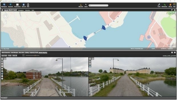
4th September 2017
Orbit GT and Nordic GeoCenter, Finland, sign Reseller Agreement4th September 2017
HUBER+SUHNER to showcase new solutions at DSEI 2017
2nd September 2017
Qelzal Starts Flight Safety Testing of Autonomous Vision Sensor System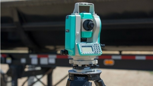
1st September 2017
NPL 322+ New Reflectorless and Prism-only Total Station1st September 2017
Free Global Mapper to Organizations Responding to Hurricane Harvey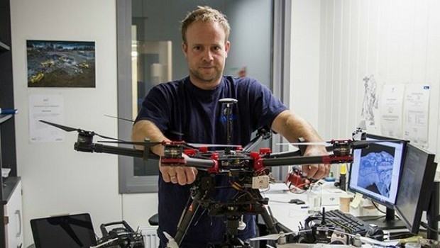
1st September 2017
Drones and Pix4D drone mapping software saving time and money
1st September 2017
National agency will double Australia's space industry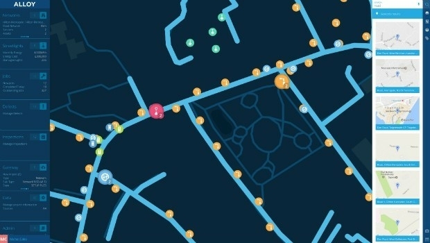
31st August 2017
Yotta Releases its Alloy Connected Asset Management Platform
31st August 2017
Optimizing Maritime Safety and Efficiency
31st August 2017
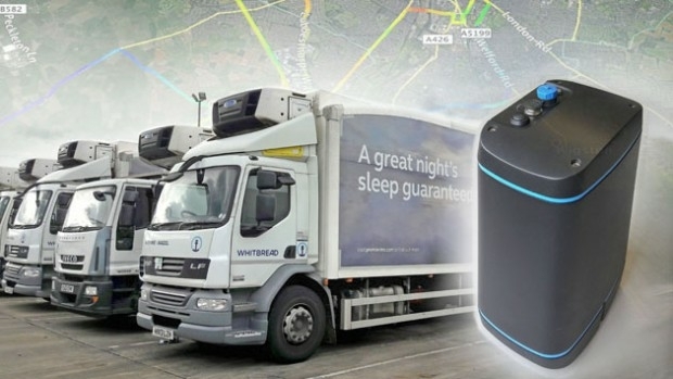
EarthSense to Provide Real Time Air Quality Monitoring for Low Emission Lorry Trial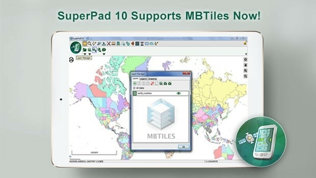
30th August 2017
SuperPad Will Support the Popular MBTiles Format in the Next Update
30th August 2017
Hydracos Selects SuperPad for Water Utility Inspection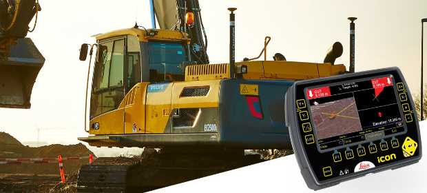
30th August 2017
Leica iCON now supports Excidor AB tilt rotator control system
30th August 2017
Connected Solution From Intelligent Telematics
29th August 2017
Advancing our Real-Time Global Vessel Tracking Service29th August 2017
Integrated Drone Multispectral Mapping Solution for Agriculture
29th August 2017
Teledyne CARIS Releases S-100 Online Workshop29th August 2017
GSSI Showcases Newest GPR Equipment at Damage Prevention Symposium29th August 2017
Exploring the new Global Drone Ecosystem in Lausanne, Switzerland28th August 2017
SPOT 6/7 imagery for improved efficiency of US agriculture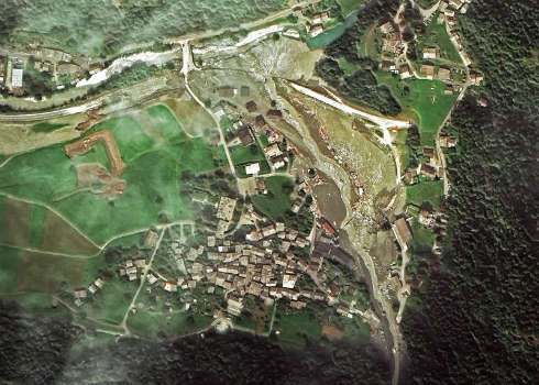
28th August 2017
Seen From Space: Landslide in the Swiss Alps26th August 2017
Terra Drone is to release Terra Mapper a new image processing software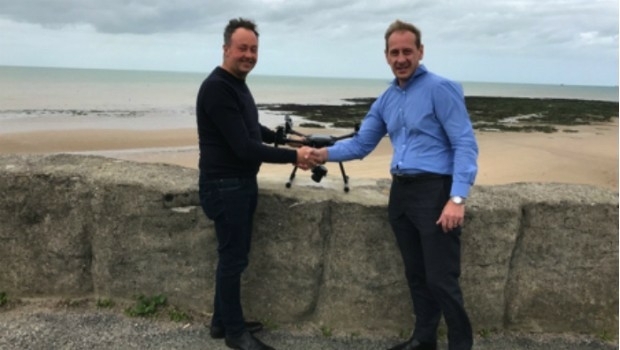
24th August 2017
GPM2 Design choose COPTRZ to enable drone surveying & inspection
23rd August 2017
Multiple senseFly drones added to the list of compliant systems23rd August 2017
Masternaut announces first integrated telematics-based insurance
23rd August 2017
Juniper Systems Limited Opens New Office, Welcomes Birgit Krassnitzer23rd August 2017
CCLD Takes Delivery of the RIEGL VUX-SYS!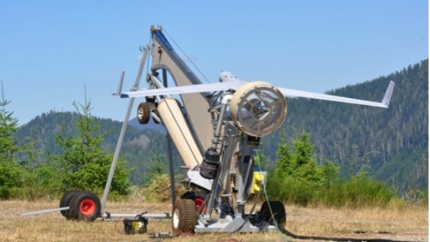
23rd August 2017
Real-time imagery for firefighters saves lives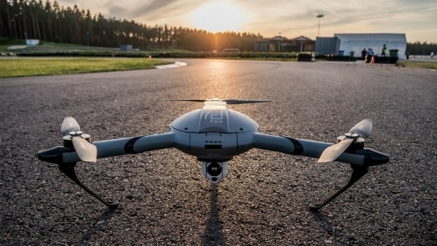
22nd August 2017
Atlas Dynamics to Launch Autonomous Professional Drone System22nd August 2017
Caliper Corporation: 2017 Sustained Growth
21st August 2017
Solar Orbiter on track to launch before next total solar eclipse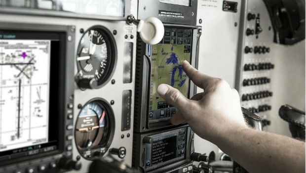
18th August 2017
Garmin receives EASA approval for new GTN 650/750 features17th August 2017
News on exactEarth’s Small Vessel Tracking Service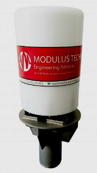
16th August 2017
New rugged GPS receiver for marine surveyors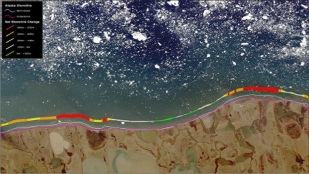
16th August 2017
TCarta Marine change the way dynamic environments are managed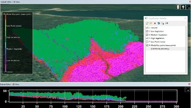

15th August 2017
Hexagon announces updates to 2017 airborne imagery collection plans15th August 2017
20 Years of Continuous, Failure-Free Operations14th August 2017
Safety app to check-in with lone working staff around the clock11th August 2017
Drone based LiDAR for Aberystwyth University global research11th August 2017
Michael P. Huerta to Deliver Grand Opening Keynote at InterDrone10th August 2017
CIRRUAS Drone Program for Public Safety Agencies
10th August 2017
BARTHAUER securely positioned for the future