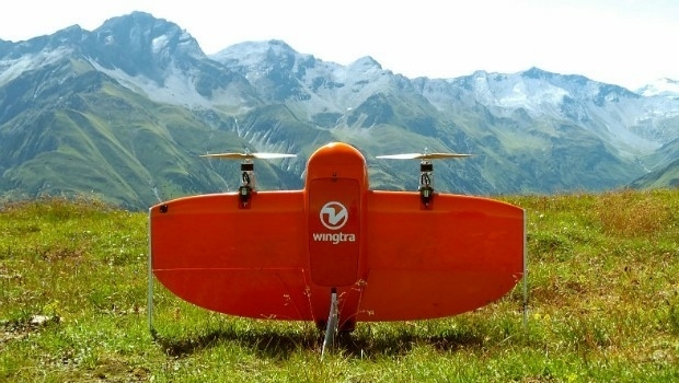
Wingtra partners with Kentucky-based Precision Capture
21st September 2017
Wingtra partners with Kentucky-based Precision Capture
21st September 2017
Wingtra partners with Kentucky-based Precision Capture21st September 2017
Three Swedish neighbouring municipalities choose Digpro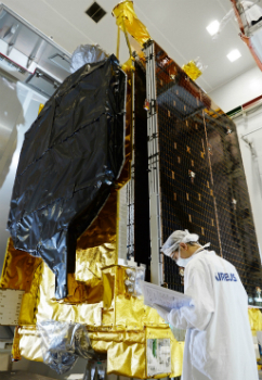
21st September 2017
Airbus ships EchoStar 105/SES-11 telecom satellite to launch base21st September 2017
Juniper Systems Limited Eyes German Market with InterGeo 2017 Exhibit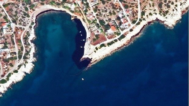

20th September 2017
River Thames simulation supports safer navigation for Tideway20th September 2017
Phase One Industrial Introduces 190MP Aerial System19th September 2017
GeoCue Group Provides Free Lidar Data For Hurricane Impact Areas
19th September 2017
Esri Podcast Series Explores How Location Technology Helps Businesses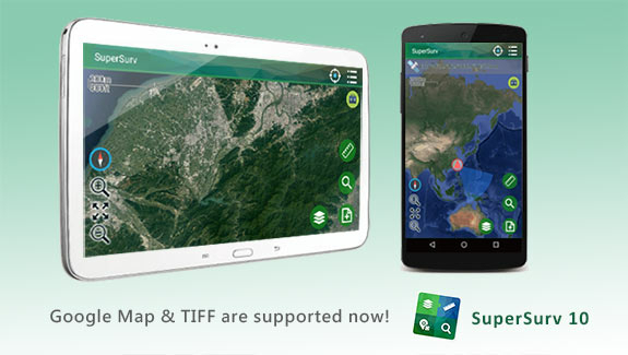
19th September 2017
SuperSurv 10.1 Supports New Raster Formats and Online Maps
19th September 2017
Bentley’s AECOsim Building Designer CONNECT Edition
18th September 2017
Marathon Des Sables to use SPOT Gen3 for new events
17th September 2017
Hamburg and HERE to partner on intelligent mobility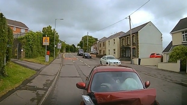
16th September 2017
3G Vehicle Cameras Prove Liability and Defend Against Claims15th September 2017
Unmanned Systems industry leaders are gathering in Odense
15th September 2017
7th International Conference on Cartography & GIS15th September 2017
Second Annual PrecisionAg® Vision Conference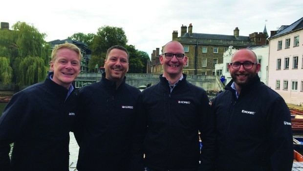
15th September 2017
KOREC expansion strengthens its commitment to customer service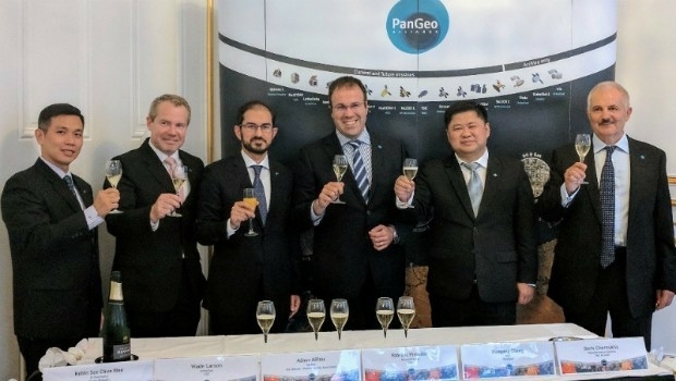
14th September 2017
The PanGeo Alliance welcomes a new member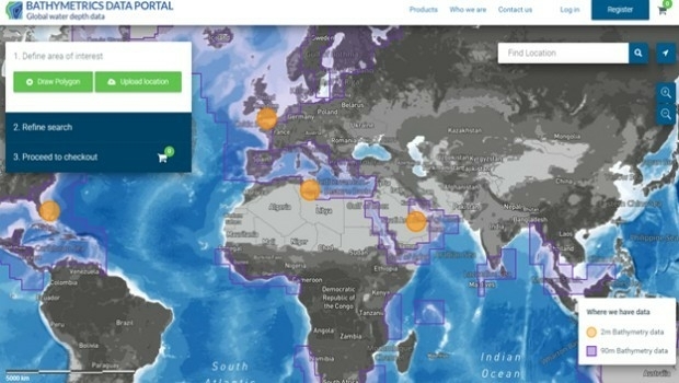
14th September 2017
New Bathymetrics Data Portal delivers quality water depth data online14th September 2017
Skyfront Sets World Record for Drones with 4 hour and 34 minute flight13th September 2017
Laser Design Demonstrates a 3D Scanning and Inspection System at TCT13th September 2017
PCI Geomatics Releases Geomatica 2017, Service Pack 112th September 2017
New counter-drone system unveiled at DSEI 201712th September 2017
Carl Pulfrich Award 2017 goes to Prof. Dr. Franz Rottensteiner12th September 2017
Brainnwave Makes Data Available to Support Disaster Relief12th September 2017
Airbus to reshape Earth observation market12th September 2017
Elbit Systems and CAE Team to Pursue UK Defence Training Capability12th September 2017
Drone Software Donation for Hurricane Recovery11th September 2017
AND aims to redefine map making & change the mapping industry
11th September 2017
The future European Governmental Satellite Communications programme9th September 2017
GSSI Announces Licensing Agreement with MIT Lincoln Laboratory8th September 2017
Ctrack Selected by Northumbrian Water Limited8th September 2017
MapAction sends two more teams to reinforce Hurricane Irma response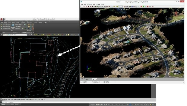
7th September 2017
Faster, More Expansive Carlson Point Cloud for 2018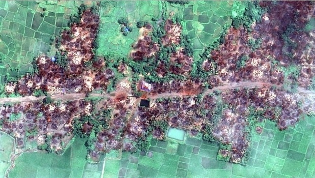
7th September 2017
Myanmar: Satellite Images Show Massive Fire Destruction7th September 2017
Globalstar Brings the Power of the Sun to IoT Asset Management
7th September 2017
Handheld launches blog at ruggedinformer.com
7th September 2017
Location technology from HERE central to Audi A8's guidance system
7th September 2017
SmarTrack Situational Awareness System for GPS Denied Environments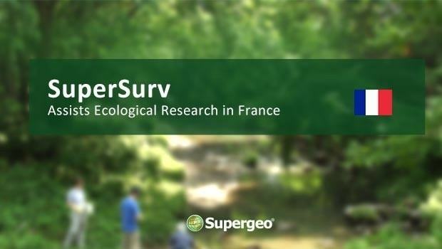
6th September 2017
SuperSurv Assists Ecological Research in France
6th September 2017
Airborne mapping system from 3D Laser Mapping takes off
6th September 2017
Ricardo and Roke collaborate on vehicle cyber security
5th September 2017
100% success rate in European Commission’s 2017 CwRS Program5th September 2017
Public comment on proposed Geocoding API Standards Working Group