
Phase One announces successful operation of 150mp camera on smallsat earth observation mission
2nd November 2022
Phase One announces successful operation of 150mp camera on smallsat earth observation mission2nd November 2022
Phase One announces successful operation of 150mp camera on smallsat earth observation mission
2nd November 2022
Eos Positioning Systems announces MDM support for iOS users
2nd November 2022
SimActive software used for sensor calibration and validation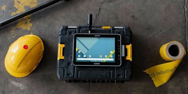
13th October 2022
Handheld launches Real Time Kinematic (RTK) options for rugged Android handhelds and tablets
7th October 2022
Registration Opens for Energy from Waste Conference 2022
26th September 2022
GeoCue welcomes three new distributors to its global network
20th September 2022
Space Flight Laboratory (SFL) Nears Completion of GHGSat Greenhouse Gas Monitoring Constellation Core Satellites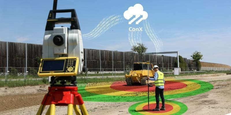
26th August 2022
Leica Geosystems launches new safety awareness module in Leica ConX cloud solution
23rd August 2022
NASA's Orion spacecraft with the Airbus-built European Service Module is ready for launch
19th August 2022
Online Media Briefing: Artemis I getting ready for launch
18th August 2022
Juniper Systems introduces the all-new Mesa Pro Rugged Tablet
16th August 2022
Environmental Monitoring at the Port of Tyne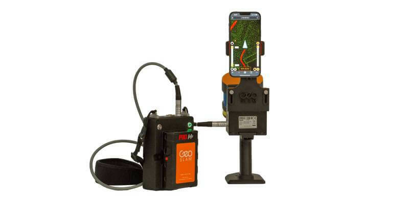
16th August 2022
GeoSLAM adds real-time data capture feedback to ZEB Horizon
3rd August 2022
Geneq Inc Announces the SXblue SMART, the newest addition to the GNSS smart antenna line
26th July 2022
Fibre network designers, Jorvik Design Group, first in UK to invest in a KOREC supplied Trimble MX50 Mobile Mapping System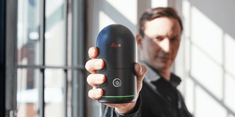
19th July 2022
Hexagon disrupts reality capture once again with its next-generation, ultra-fast Leica BLK360 laser scanner
19th July 2022
Juniper Systems Limited launches Android 11 update for the Mesa 3 Rugged Tablet
19th July 2022
Clirio launches world's first end-to-end holographic scan and review apps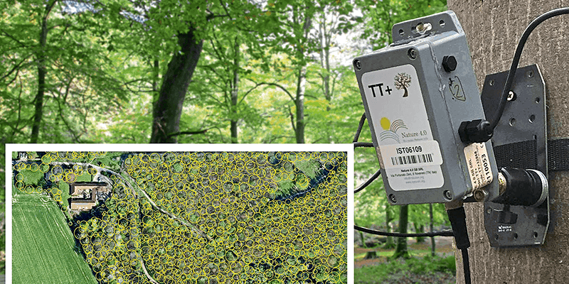
19th July 2022
Tree pest and disease monitoring system uses Bluesky's UK Tree Map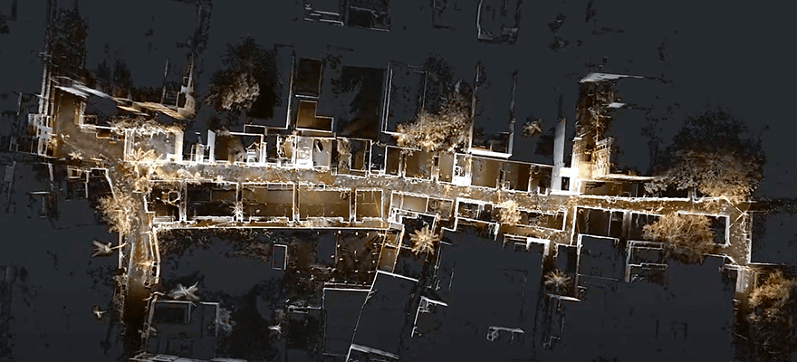


13th July 2022
IDS GeoRadar launches Stream DP with new Equalised scrambled Technology (EsT)
13th July 2022
Network Rail Environmental Monitoring Install
7th July 2022
Fugro’s Geo-data supports the development of Denmark’s largest offshore wind farm
31st May 2022
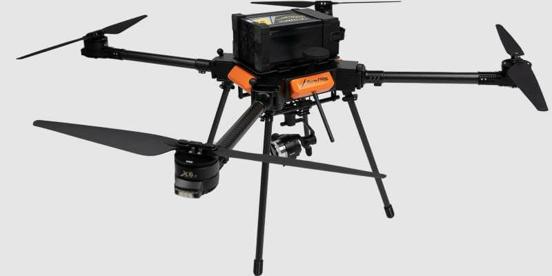
CamFlite Introduces Most Advanced Drone Avionics To Product Range
19th May 2022
Dual aerial sensors yield impressive results
19th May 2022
5G Connectivity Helps Robot Become Construction’s Best Friend
13th May 2022
Juniper Systems Limited Launches Android 11 Update for the Mesa 3 Rugged Tablet
13th May 2022
Report: Marine geospatial collaboration will reaffirm the UK’s role as a global leader in ocean science12th April 2022
Juniper Systems Limited launches Uinta software for Android OS devices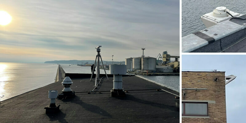
12th April 2022
Miros' sensors provide valuable insights to validate the use of unmanned vehicles for port operations
22nd March 2022
You're Invited to Spectral Sessions - April 5 and 6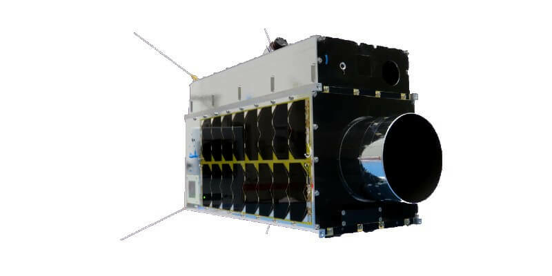
22nd March 2022
Space Flight Laboratory (SFL) Awarded Contract to Build Next Three Greenhouse Gas Monitoring Microsatellites for GHGSat
22nd February 2022
Juniper Systems Limited Launches Uinta Software for Android OS Devices
13th January 2022
Carlson 2022 Select Suite for Land Development Helps Increase Productivity and Efficiency With New Features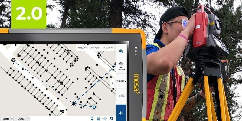
18th November 2021
The Most Affordable, Reliable, Innovative Android Data Collection Software On The Planet Just Got Better!
11th November 2021
Handheld launches new version of its ultra-rugged PDA, the NAUTIZ X9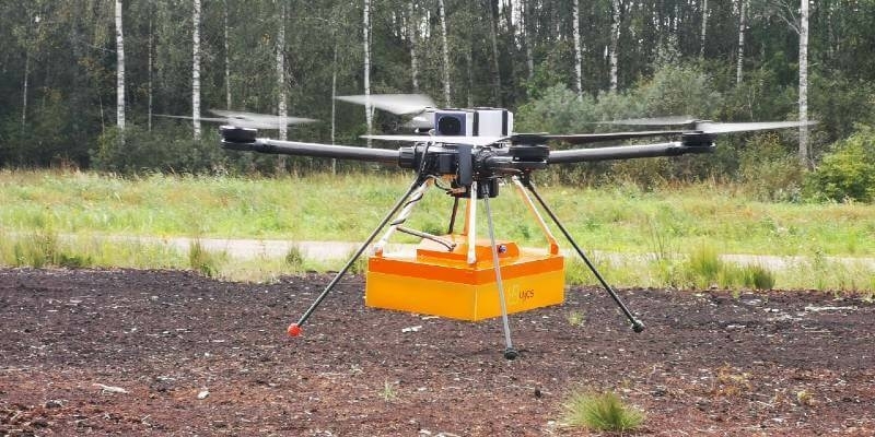
4th November 2021
TUNDRA drone integrated with UgCS Integrated Systems solutions
15th October 2021
Handheld announces new version of the NAUTIZ X6 ultra-rugged Android phablet
28th September 2021
Sercel Awarded Major Seismic Equipment Contract in North Africa
22nd September 2021
New Trimble DA2 Receiver Boosts Performance Of Trimble Catalyst GNSS Positioning Service
13th September 2021
Leica Geosystems Partners with Infotech to Introduce Construction Inspection Solution, Increases Efficiency of Data Collection for Civil Infrastructure Projects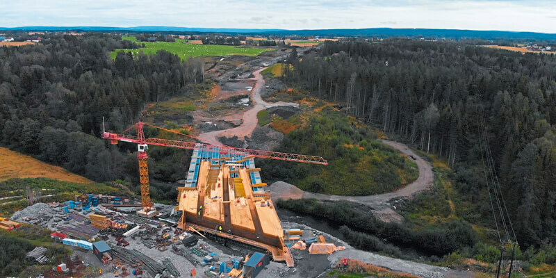
19th August 2021
Data, data, data: the future of surveying
19th August 2021
New Trimble GEDO GX50 Laser Scanning System Introduced