.jpg)
Luciad Announces Winners of Geospatial Excellence Awards
13th October 2017
Luciad Announces Winners of Geospatial Excellence Awards
13th October 2017
Luciad Announces Winners of Geospatial Excellence Awards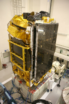
11th October 2017
EUTELSAT 172B satellite reaches geostationary orbit in record time
11th October 2017
When shipping becomes a matter of life or death
10th October 2017
UAV exhibition opens doors to businesses across Europe10th October 2017
Topcon Leadership at Bentley Year in Infrastructure Conference10th October 2017
Garmin® Head-up Display (GHD) system for integrated flight decks
9th October 2017
Collaboration for Constructioneering Academy initiative
9th October 2017
Bureau Veritas releases new rules for FSRUs meeting industry needs6th October 2017
Top honour in the Wichmann Innovations Award at INTERGEO 2017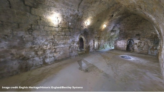
6th October 2017
European Consortium Demonstrates new Internet-of-Things Platform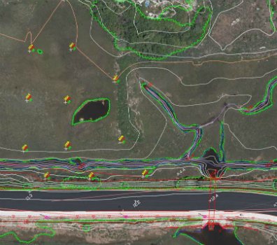
6th October 2017
Col-East Taps Extensive Image Archive to Create Multi-Function Maps
5th October 2017
Intelligent Telematics Makes Senior Management Appointment
5th October 2017
Martin Truex Jr.’s Beechjet 400A is equipped with Garmin® G50005th October 2017
Commercial UAV Expo to include Workshops/Demos/Training5th October 2017
OGC Announces New 3D Portrayal Service Standard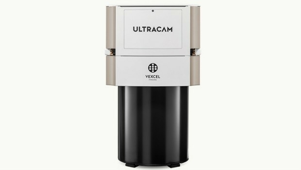
4th October 2017
Vexcel Imaging introduces the new UltraCam Eagle Mark 3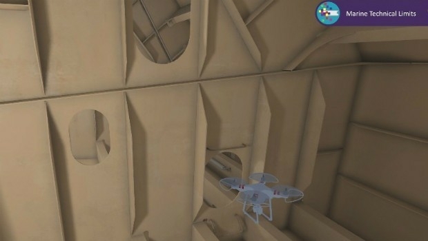
4th October 2017
Bureau Veritas joins the RECOMMS drones project

3rd October 2017
Satellite Images show Europe's diversity in new book3rd October 2017
Kenyan Government Mapping Mines with Correlator3D™
2nd October 2017
Frequentis and Hexagon for Nationwide Integrated Command Centers
2nd October 2017
Drone Major Group - launches today to provide global connectivity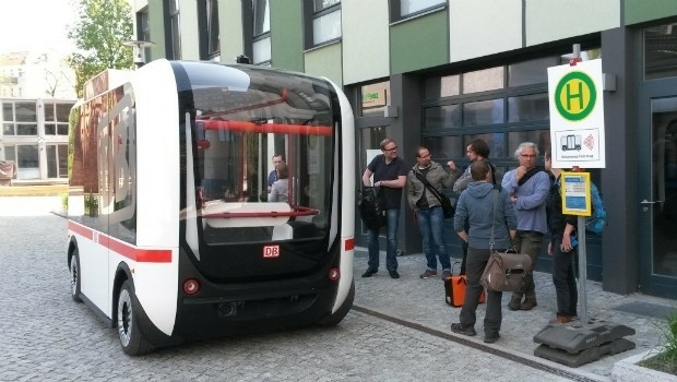

2nd October 2017
LAStools Win Big at INTERGEO Taking Home Two Innovation Awards
30th September 2017
Fugro Wins Highway Data Collection Contract for The State Of Alaska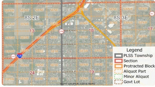
30th September 2017
Free Public Land Survey System (PLSS) Data for Use with Maptitude30th September 2017
Pitney Bowes selects HERE data to aid insurers
28th September 2017
Astun Technology Supports Ordnance Survey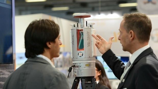
28th September 2017
RIEGL announces significant product news at INTERGEO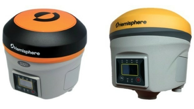
28th September 2017
Hemisphere GNSS Debuts Next-Generation S321+ and C321+ GNSS Smart Antennas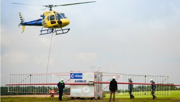
27th September 2017
JUICE radar antenna tested in helicopter flight campaign27th September 2017
Simplified Map Production from UAVs, from Trimble GNSS Base Station.jpg)
27th September 2017
First true tilt compensation GNSS is next Leica Captivate Experience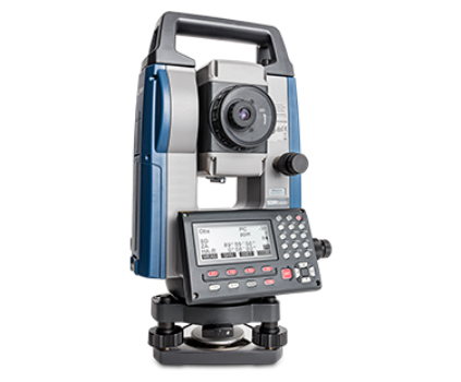
27th September 2017
Sokkia introduces new manual total station with sophisticated features27th September 2017
EarthSense Air Pollution Tech to Control Vehicle Emissions in Real Time26th September 2017
Partnership Offers Analysis Software for Scholarship Winners26th September 2017
Commercial UAV Expo Europe Moves to Amsterdam in April, 201826th September 2017
New extras added to Global Mapper V.19 - Now Availale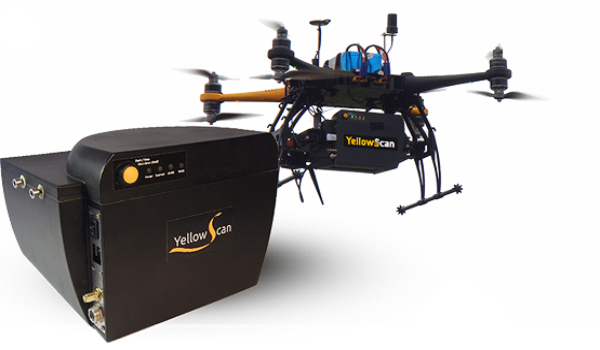
26th September 2017
YellowScan & Quantum Systems partnership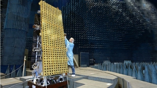
26th September 2017
SSTL announces NovaSAR-S data deal with Australia’s CSIRO
25th September 2017
New Product Launches At Intergeo From GeoSLAM25th September 2017
Skyline Software Systems Opens Another European Office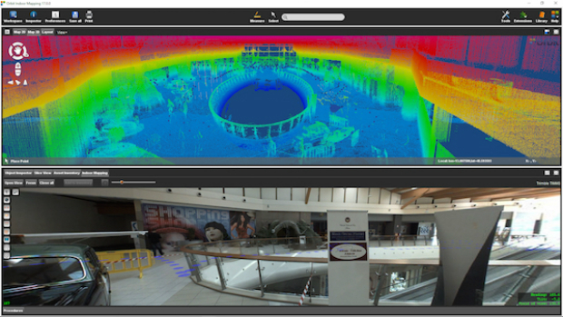
25th September 2017
Orbit GT and Applanix, Canada, sign Reseller Agreement
21st September 2017
BLK360 3D scanner wins Mondial du Bâtiment Innovation Award21st September 2017
senseFly to launch industry-specific solutions at INTERGEO 201721st September 2017
LizardTech Awarded U.S. Patent for LiDAR Point Cloud Compression