
GeoSpock launches unique location intelligence platform
1st May 2018
GeoSpock launches unique location intelligence platform1st May 2018
GeoSpock launches unique location intelligence platform
1st May 2018
Space Forum 2018: From Space Application To Space Exploration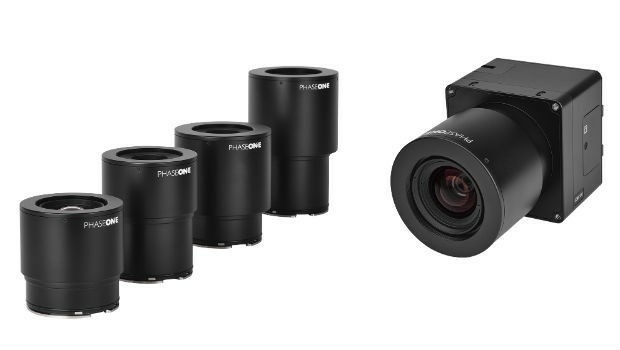
30th April 2018
Phase One Industrial Innovates UAV-based Aerial Imagery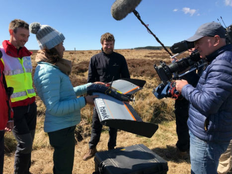
27th April 2018
QuestUAV showcasing on BBC One’s Countryfile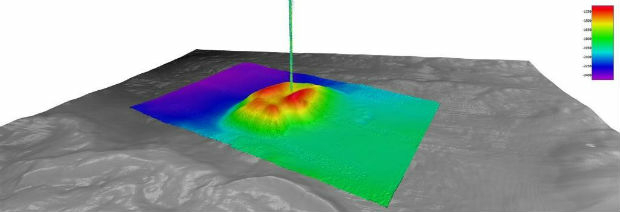
27th April 2018
Fugro Provides Seep Hunting Expertise Offshore Brazil26th April 2018
Autotalks Joins the Connected Motorcycle Consortium26th April 2018
Fugro’s Award-Winning Expertise at OTC 2018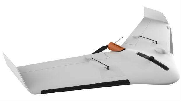
26th April 2018
Delair Announces Availability of UAV for Geospatial Professionals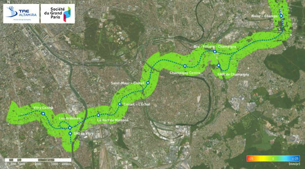
26th April 2018
Grand Paris Express: first results of satellite monitoring26th April 2018
Captains of industry accept position in Unifly advisory board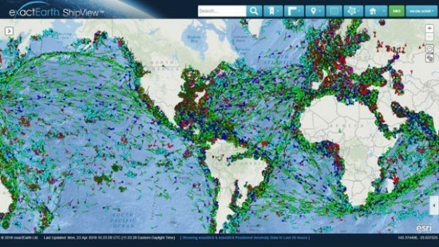
25th April 2018
Major Upgrades to exactEarth's Vessel Tracking Platform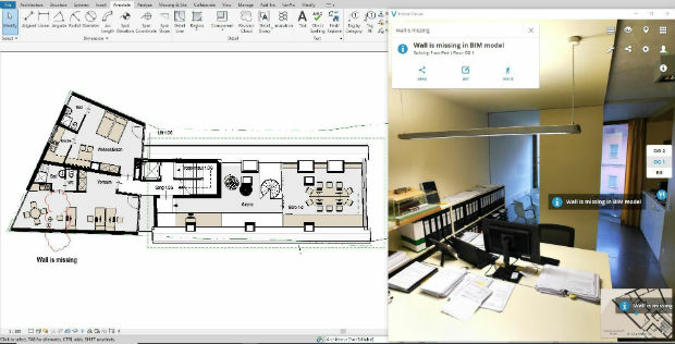

24th April 2018
3DUserNet announced today the release of their first generation API.24th April 2018
Geovation reveals next wave of GeoTech and PropTech businesses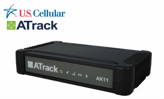
24th April 2018
ATrack AK11 LTE Fleet Hub Certified on U.S. Cellular Network
24th April 2018
Wingtra launches a drone that sets a new benchmark in photogrammetry
24th April 2018
Hemisphere GNSS Announces Family of Rugged Handheld Devices
24th April 2018
Creaform and Metrologic Group announce Worldwide Partnership Agreement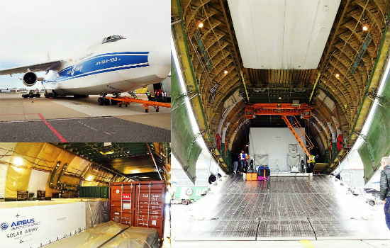
23rd April 2018
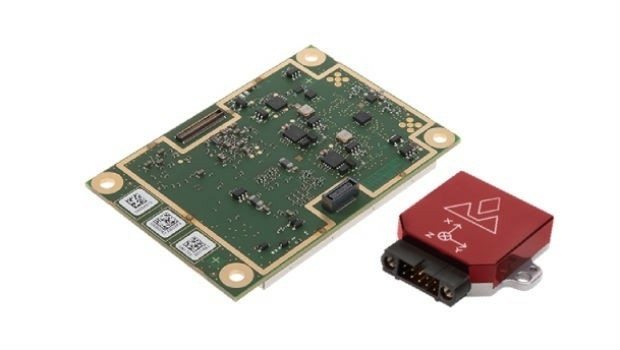
Introducing the new AsteRx-i for IMU-enhanced GNSS positioning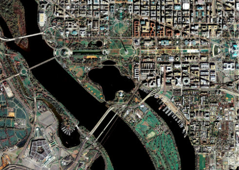
23rd April 2018
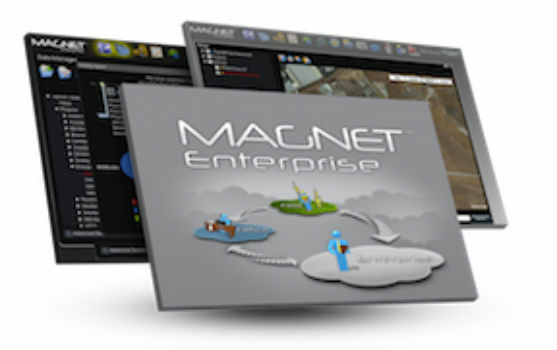
Topcon announces upcoming MAGNET Enterprise release
23rd April 2018
Topcon announces new modular 3D machine control excavation system23rd April 2018
Hemisphere GNSS' Flexible & Scalable GradeMetrix™ Toolkit
21st April 2018
Fugro’s Ultra-Deepwater Surveys Support Seabed Mining Exploration20th April 2018
The UAV sector is becoming more professional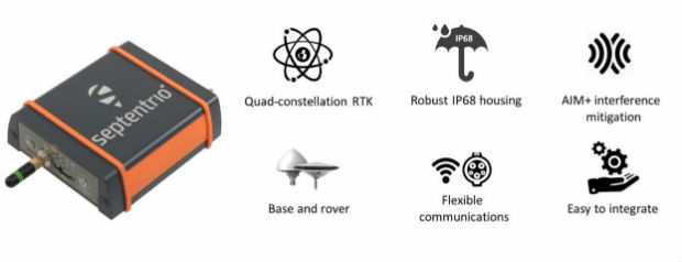
20th April 2018
Septentrio launches the AsteRx SB GNSS receiver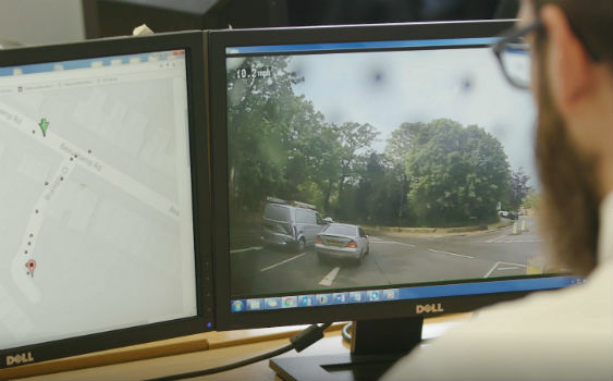
19th April 2018
Intelligent Telematics Launches Camera Monitoring Solution
19th April 2018
Jason Goodwin appointed as Group Sales and Marketing Director
19th April 2018
Airbus adds extra precision to Sentinel-3 satellite altimetry
19th April 2018
New Field Solutions for Land and Construction Surveying
18th April 2018
Restore's Driver Behaviour Improvements With Ctrack Vehicle Tracking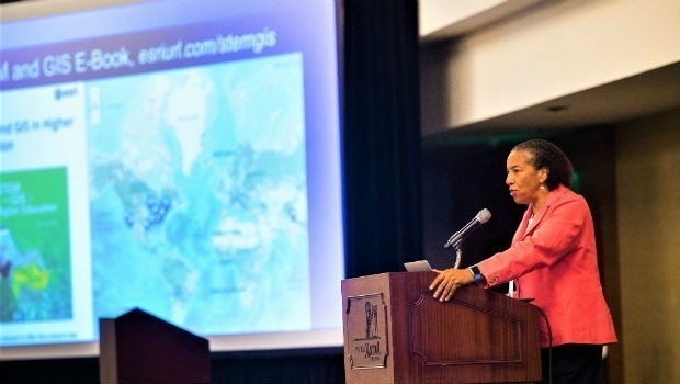
18th April 2018
Dawn Wright Celebrates Earth Day by Speaking at EarthxOcean Conference17th April 2018
Real-Time Mobile Data Collection with Boundless Anywhere
17th April 2018
Goonhilly Earth Station, SSTL and Astrobotic join forces
17th April 2018
SSTL and Goonhilly Earth Station sign collaboration agreement with ESA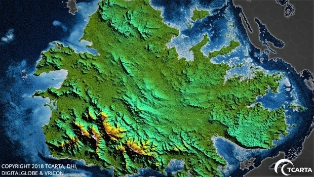
17th April 2018
TCarta Delivers Satellite-Derived Land/Sea Floor Surface Models
17th April 2018
OGC announces the ESA’s upgrade to Strategic Member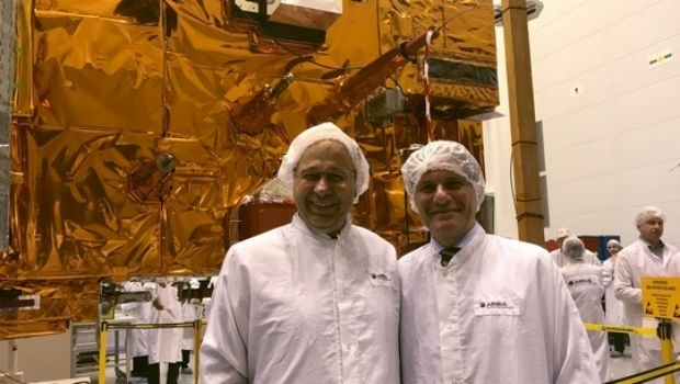
17th April 2018
Crucial European weather satellite prepares for launch
17th April 2018
Teledyne Optech to showcase Airborne and Terrestrial survey systems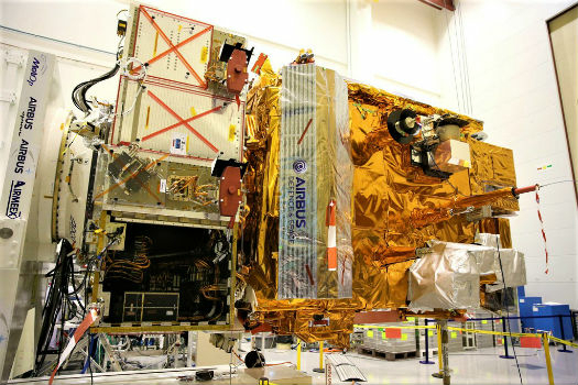
17th April 2018
Airbus-built MetOp-C weather satellite gets ready for launch
17th April 2018
Ownership rights over personal data - By GenerationLibre Think Tank
17th April 2018
Copernicus App Lab’s Earth Observation Data Tools Ready for Developers

17th April 2018
GIS4BUSINESS achieves Esri ArcGIS Online Specialty16th April 2018
GetRentr raises over £500k in seed funding round