
Diamond Aircraft Delivers the First DA62 MPP with RIEGL Airborne LiDAR to the Centre for GIS in the State of Qatar
24th July 2023
Diamond Aircraft Delivers the First DA62 MPP with RIEGL Airborne LiDAR to the Centre for GIS in the State of Qatar
24th July 2023
Diamond Aircraft Delivers the First DA62 MPP with RIEGL Airborne LiDAR to the Centre for GIS in the State of Qatar
12th July 2023
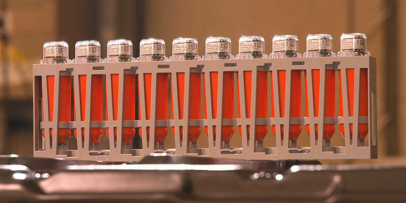
Building a green supply chain for a sustainable future with the Supply Chain Data Partnership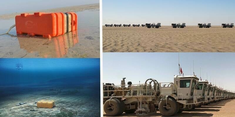
4th July 2023
Sercel Wins Multiple Mega Crew Equipment Contracts in the Middle East
4th July 2023
TELEDYNE e2v Sensors on ESA’s Euclid mission will explore the composition and evolution of the dark universe
15th June 2023
Hexagon partners with Sony Semiconductor Solutions to enhance reality capture
18th May 2023
Million-dollar seismic technology deal for Nigeria O&G onshore exploration
17th May 2023
Juniper Systems Celebrates Its 30th Anniversary
3rd May 2023
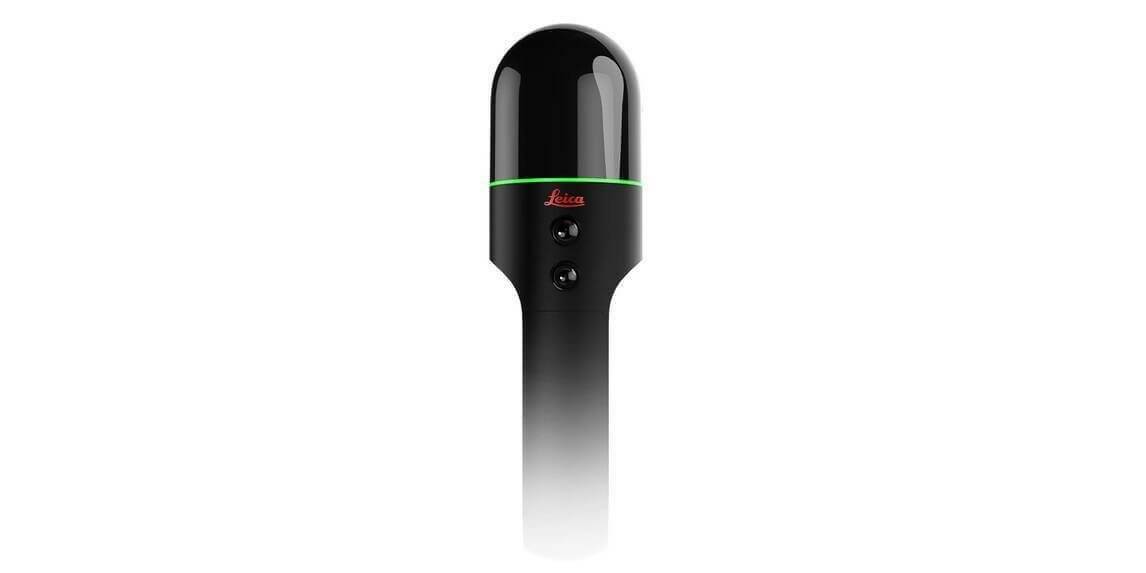
Leica Geosystems introduces the next evolution in smart, autonomous mobile mapping
18th April 2023
KOREC Group unveils new customer-centric Mission Statement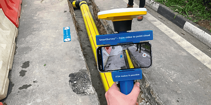
14th April 2023
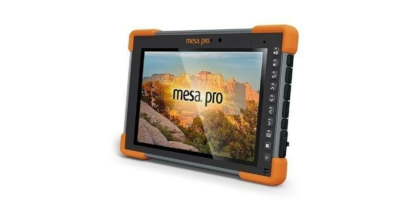
Juniper Systems' Customisable Mesa Pro Rugged Tablet is Now Available Worldwide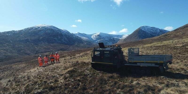
30th March 2023
Fugro Geo-data supports development of UK's newest large-scale hydro pumped storage scheme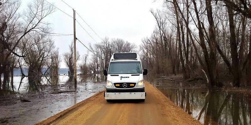
13th March 2023
Fugro’s new contract in Louisiana focuses on safe and sustainable roads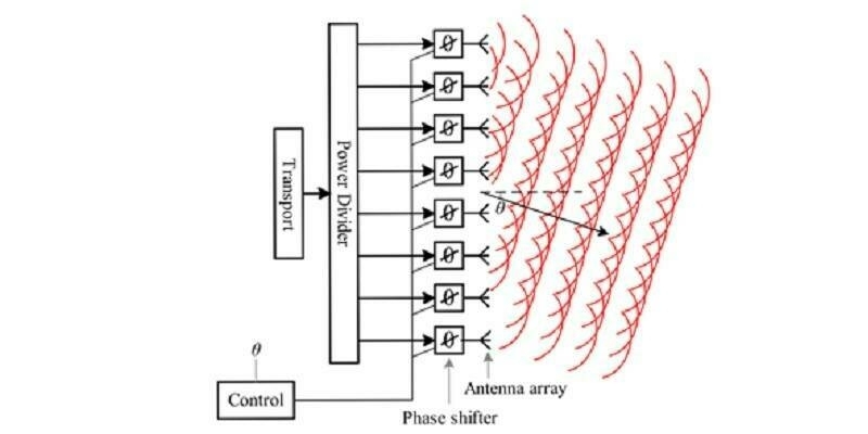
9th March 2023
New ‘phase shifter’ technology will reduce signal loss in antenna systems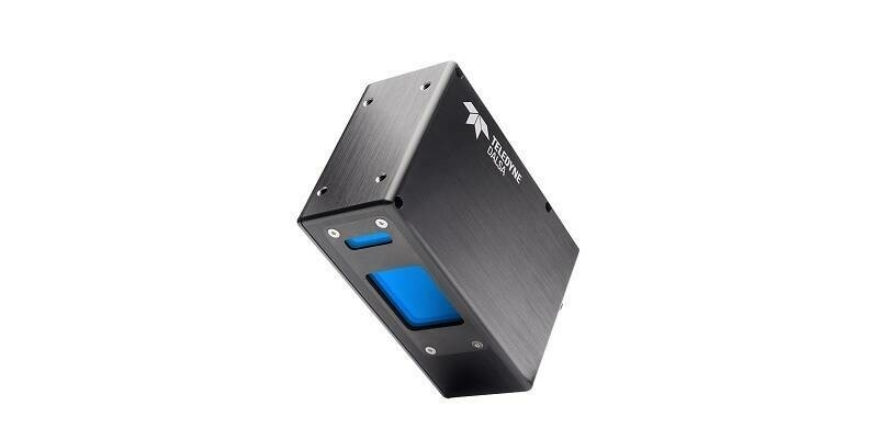
7th March 2023
Teledyne introduces 4K 3D laser line profile sensor family for in-line measurement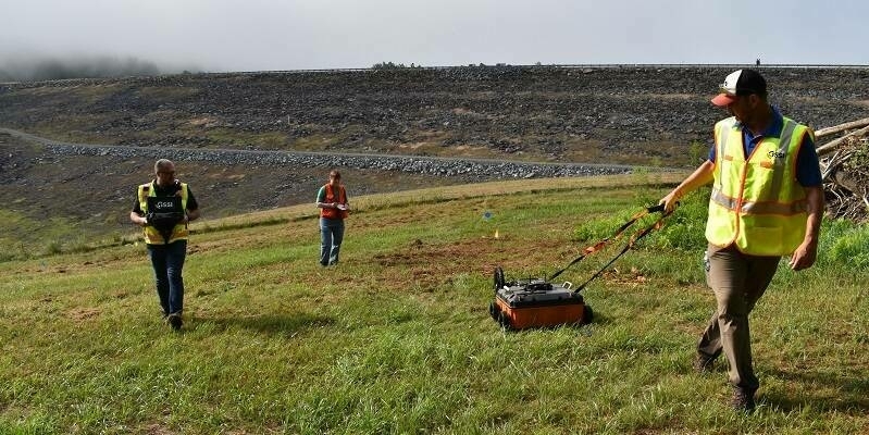
7th March 2023
GSSI Highlights 200 HS Antenna for Applications Requiring Deeper Penetration Depths
6th March 2023
NEW YOUTUBE VIDEO: RIEGL VMR Robotic Rail Laser Scanning System for data acquisition in Stop-&-Go-Mode
2nd March 2023
RIEGL Ultimate LiDAR Webinar Series: March 2023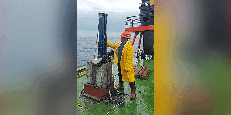
1st March 2023
TDI-Brooks Completes Third Geotechnical Program in the Black Sea for Denar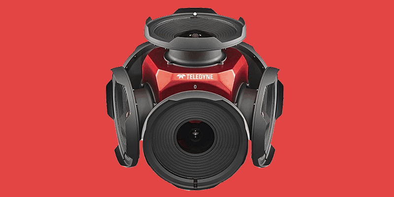
1st March 2023
Teledyne Announces New Ladybug6 Cameras for High Accuracy 360-Degree Spherical Image Capture
1st March 2023
Ubotica and Open Cosmos Agree to Launch AI Centric Satellite

1st March 2023
Terradepth Announces Commercial Launch of Absolute Ocean Marine Data Management Platform
1st March 2023
Trimble Introduces Innovative Rail Module for Real-Time Monitoring Software
1st March 2023
Field is the Name of One of Europe’s Largest Geodata, Collection and Analysis Company
1st March 2023
Axians France Enters Into a Partnership With Pix4D
1st March 2023
Silicon Sensing Brought Latest Inertial Technology to Space Tech Expo, Europe
1st March 2023
Fugro Awarded Major Offshore Wind Contract with Energinet to Support Denmark’s Renewable Energy Goals
1st March 2023
Paul Walker Will be Leading TDI's Geotechnical, Geochemical, and Environmental Labs as Director of Laboratory Operations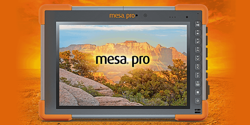
1st March 2023
The all-new Mesa Pro Rugged Tablet by Juniper Systems is now available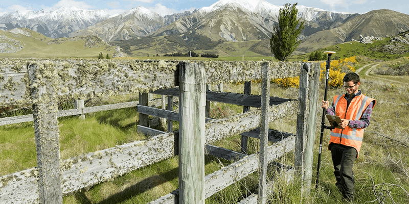
1st March 2023
New Trimble TerraFlex Software Edition Simplifies GIS Data Capture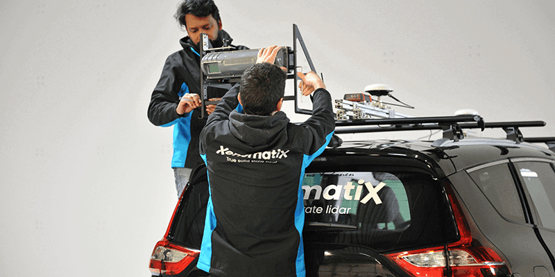
1st March 2023
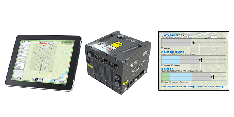
Teledyne Geospatial revolutionizes airborne lidar ROI with Galaxy Onboard: a real-time workflow solution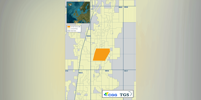
1st March 2023
CGG And TGS Announce a Dense OBN Survey in Balder And Ringhorne Areas of Norwegian Continental Shelf (NCS)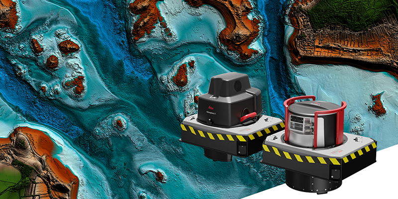
1st March 2023
Leica Geosystems Announces Performance Upgrades for Airborne Deep Bathymetric Surveys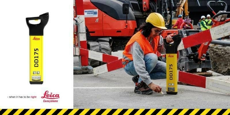
19th January 2023
Leica Geosystems simplifies utility detection and increases site safety with new intuitive locator technology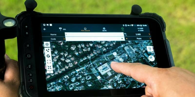
3rd December 2022
CHC Navigation launches the version 8 of its Landstar Field Data Collection Software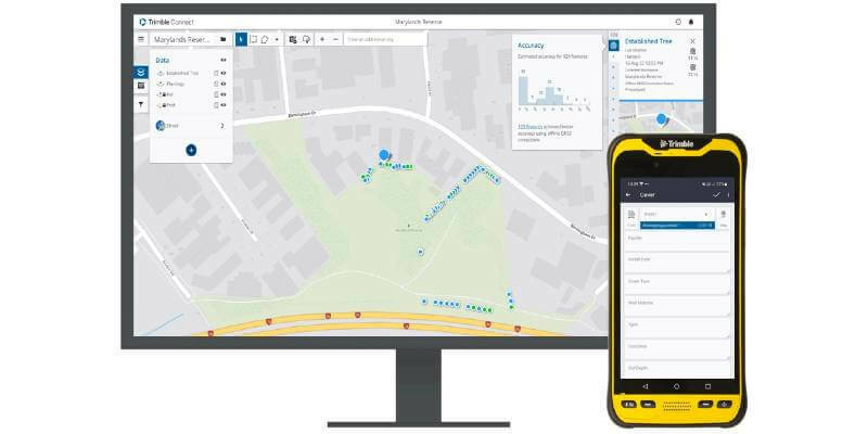
24th November 2022
New Trimble TerraFlex Software Edition Simplifies GIS Data Capture
22nd November 2022
OceanWise win contract to deliver servicing to Peel Ports Group via a Service Level Agreement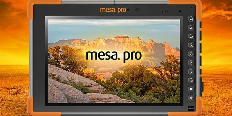
9th November 2022
The all-new Mesa Pro Rugged Tablet by Juniper Systems is now available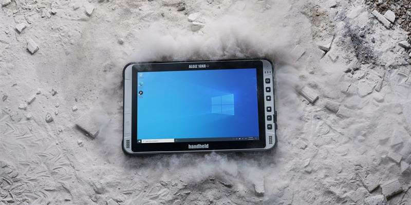
3rd November 2022
Handheld launches new ultra-rugged 10-inch Windows tablet with 5G
3rd November 2022
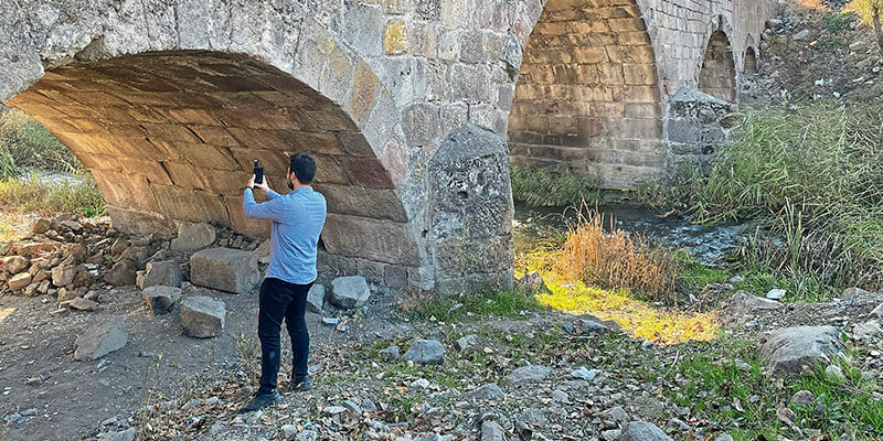
Getting the smallest details from a safe distance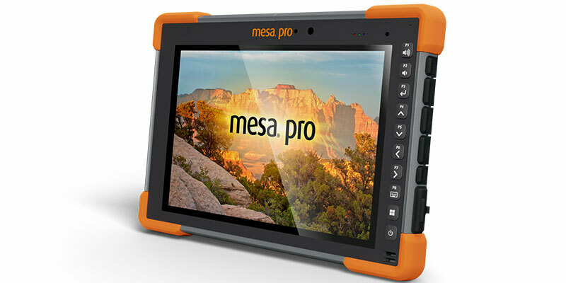
2nd November 2022
Juniper Systems introduces the all-new Mesa Pro Rugged