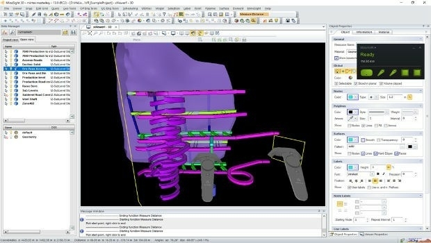
Hexagon adds virtual reality to improved mine planning solution
28th June 2018
Hexagon adds virtual reality to improved mine planning solution
28th June 2018
Hexagon adds virtual reality to improved mine planning solution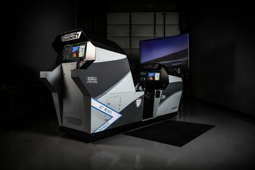

27th June 2018
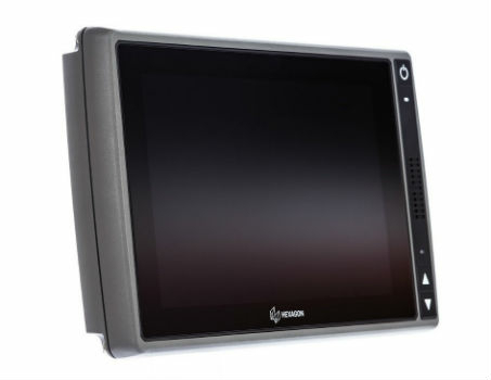
Hexagon introduces HxGN MineDiscover Display 927th June 2018
European Commission Launched Open Call for the Copernicus Accelerator
27th June 2018
Juniper Unmanned Named 2018 Colorado Company.jpg)
27th June 2018
Trimble’s New Tunnel Solutions Streamline Workflows
26th June 2018
OGC seeks public comment on Tile Matrix Set Candidate Standard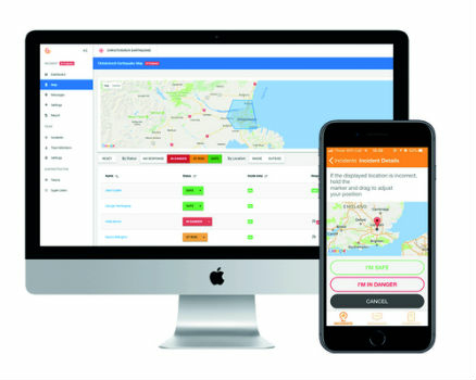
26th June 2018
New app enables employers to instantly locate staff in event of terror attack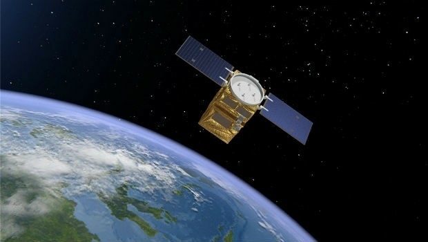
26th June 2018
Airbus to provide an end-to-end Geo-Information System to Thailand
26th June 2018
Women Presidents’ Organization Welcomes Blakelee Mills As Newest Member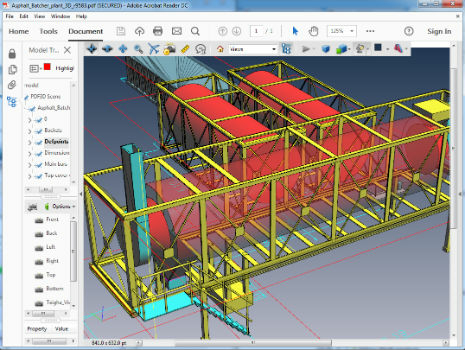
26th June 2018
PDF3D Version 2.16 Focuses on CAD, CAE, Panoramic 360 and Engineering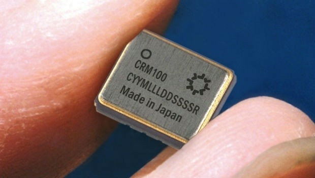
25th June 2018
Silicon Sensing increases gyro production by 30%
25th June 2018
KOREC launches Trimble’s GEDO IMS to key players in the UK rail industry25th June 2018
“Forecasts for drones are wrong” says leading British drone expert

22nd June 2018
GeoPlace and JAG(UK) help councils cut driver disruption22nd June 2018
Esri User Conference Highlights Where Mapping Technology Is Headed Next22nd June 2018
Soar TGE to generate the world’s first fully decentralised global super-map using drones21st June 2018
exactEarth and IHS Markit to Deliver Real-time Vessel Tracking Solution
21st June 2018
YellowScan, UAV LiDAR specialist, opens YellowScan Inc. in Salt Lake City.
20th June 2018
ERM Advanced Telematics Completes Development of Anti-Ransomware20th June 2018
Ordnance Survey appoints Philippa Hird as Non-Executive Director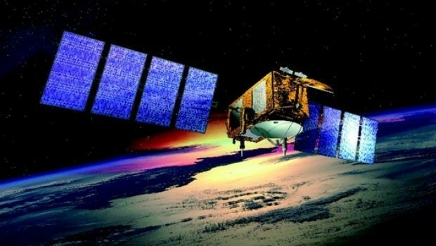
20th June 2018
US/European oceans-monitoring satellite marks 10 years in service
20th June 2018
Join Geospatial, Hydrometeorological and GNSS Conference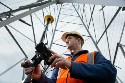
20th June 2018
RIEGL to Attend and Present at the 19th Annual JALBTCX20th June 2018
Topcon releases new edition of MAGNET software suite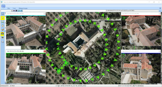
19th June 2018
ObliMapper Transforming Drone Imagery into Actionable Visual Intelligence19th June 2018
PCI Geomatics Attend 39th Annual Canadian Symposium on Remote Sensing18th June 2018
Inaugural European Drone Summit in Frankfurt16th June 2018
Expanded Focus on Drones in Public Safety at InterDrone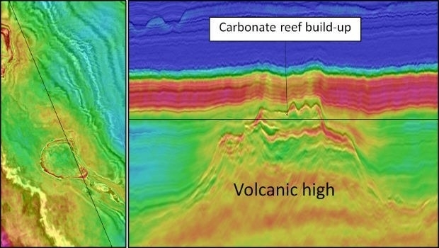
15th June 2018
CGG Delivers Final PSTM Products for Dunquin Multi-Client Survey15th June 2018
Hexagon introduces HxGN MineOperate UG Pro for Miners15th June 2018
PDF3D's Global Expansion Continues with IDI Collaboration in Japan15th June 2018
New Light Technologies and Boundless Announce Strategic Partnership
15th June 2018
FIFA World Cup 2018 Stadiums As Seen From Space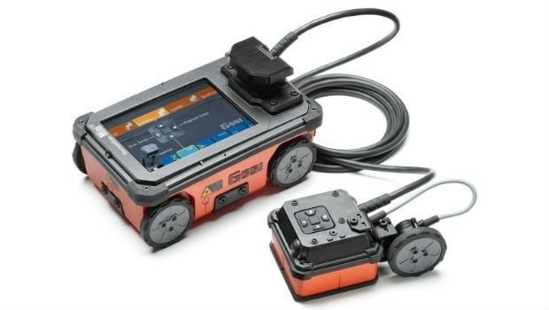
15th June 2018
GSSI Showcases and Demonstrates World Leading GPR Systems in Switzerland
15th June 2018
GAF to provide consulting services in Mozambique14th June 2018
Hexagon's Mining division launches streamlined product portfolio
12th June 2018
Sercel Extends Capability of 508XT Seismic Acquisition System
12th June 2018
Headwall Integrates Hyperspectral and LiDAR Aboard UAV Platforms
12th June 2018
SimActive Software for Precision Agriculture in Brazil
11th June 2018
Huawei and Unifly Collaborate to Identify and Track Drone Flights10th June 2018
AP-Flyer is the Latest Sponsor of UAV Technology Conference
8th June 2018
Unifly and CanardDrones show real capabilities in Finland