
OceanWise seek a “Front-End Web Systems Developer” to join their growing team
20th August 2018
OceanWise seek a “Front-End Web Systems Developer” to join their growing team20th August 2018
OceanWise seek a “Front-End Web Systems Developer” to join their growing team

16th August 2018
GENOA, ITALY: Satellite Images of Morandi Bridge Collapse
16th August 2018
SSTL announces NovaSAR-1 and SSTL S1-4 will launch on ISRO’s PSLV
16th August 2018
Drone Major Group invests in SUAS Global expansion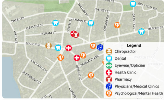
16th August 2018
Free Healthcare Data for Use with Maptitude 2018 Mapping Software
16th August 2018
Eos, LaserTech and Esri Introduce Laser Mapping Workflow
15th August 2018
Martek Announce New Head of Counter-Drone Technology M.A.DS15th August 2018
UrtheCast Announce Term Sheet for Purchase of Geosys
15th August 2018
Remote Geo "Graduates" from Esri Startup to Silver Partner15th August 2018
The Danish Geodata Agency selects Teledyne CARIS
14th August 2018
Garmin® expands cost-effective navigation databases
13th August 2018
ABPmer Appointed Designated Person for Langstone Harbour
13th August 2018
Acquisition Of Data For Norway’s Mareano Seabed Mapping Programme
9th August 2018
Topcon Supports Major Improvement Works On The A14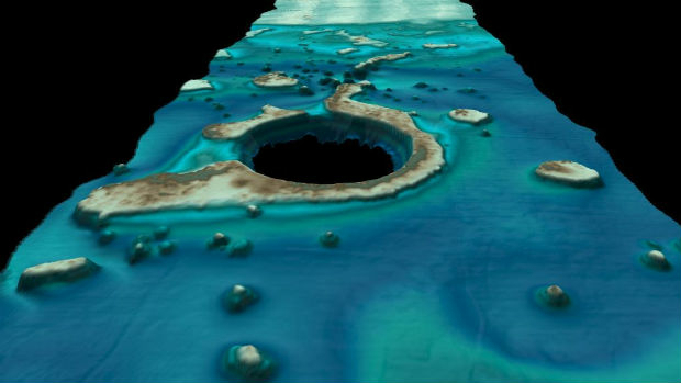
9th August 2018
Fugro’s New Ramms Technology Advances Bathymetric Lidar Mapping Capabilities9th August 2018
HERE location platform remains "undisputed" leader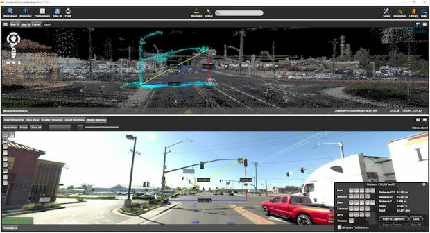
9th August 2018
Orbit GT and CompassData Inc USA, sign Reseller Agreement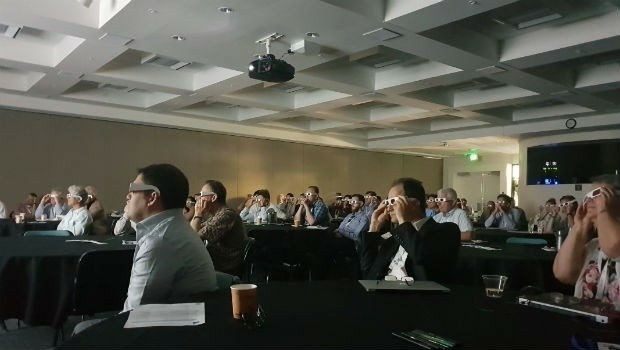
9th August 2018
The First GRSG Oil & Gas Workshop Hailed a Great Success

9th August 2018
RIEGL a Founding Member of the World Geospatial Industry Council!9th August 2018
Blue Marble Announces Distinguished Speakers for User Conference
8th August 2018
Airbus Zephyr Solar High Altitude Pseudo-Satellite flies for longer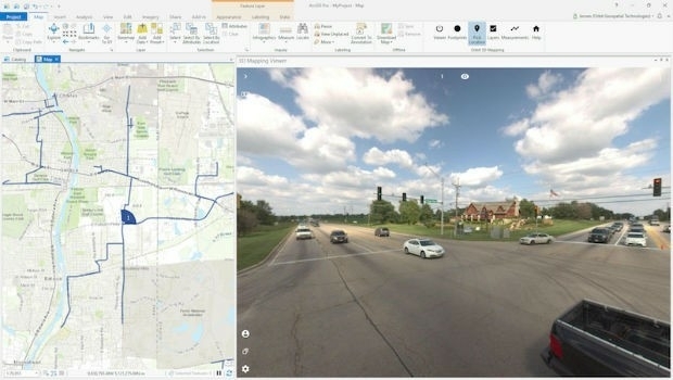
8th August 2018
Orbit GT releases free Esri ArcGIS Pro add-in
8th August 2018
Latest software release from Maptek supports 19,000 Vulcan users
8th August 2018
Bentley Announces Finalists in the Year in Infrastructure 2018 Awards
7th August 2018
Productivity And Efficiency Improvements With Ctrack Online
7th August 2018
Renovo and HERE Technologies Form Partnership7th August 2018
CHC Navigation Completes Acquisition of AMW
7th August 2018
ERM Advanced Telematics launches StarLink Tracker with Wi-Fi
7th August 2018
Elbit Systems Awarded $85 Million Contract to Supply EW Suites
7th August 2018
1Spatial adds Linear Reference System (LRS) support to 1Integrate
7th August 2018
EarthSense App Promotes Clean Air Routes for Exercise
6th August 2018
The ‘corniest’ attraction in the UK is back!6th August 2018
Hexagon acquires mine safety specialist, Guardvant4th August 2018
Linkfast to Provide Applanix Products and Solutions3rd August 2018
Airbus Defence and Space selected by Telesat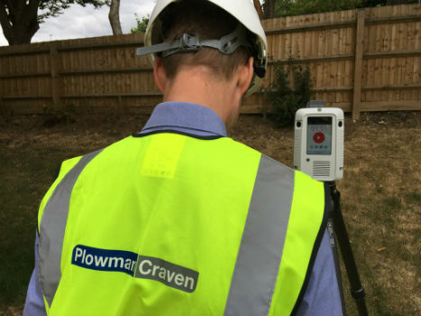
3rd August 2018
Plowman Craven collaborates with Leica Geosystems on RTC3603rd August 2018
GSSI Announces New Technical Applications Specialist
2nd August 2018
Single Channel Pyroelectric Detector Housed in a 4 Pin Package
2nd August 2018
Freemium plan for developers to build location-aware applications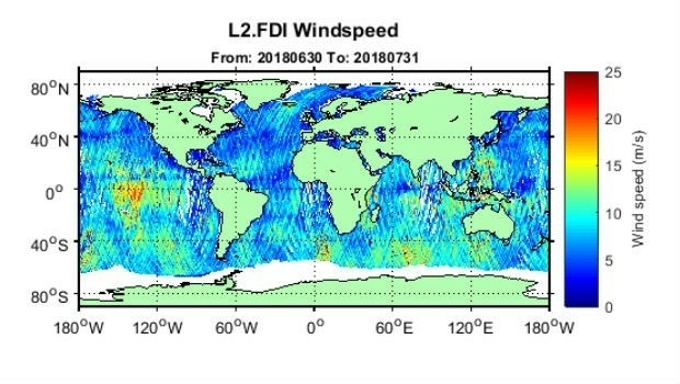
1st August 2018
First global GNSS-Reflectometry ocean wind data service
26th July 2018
ip.access collaborates with Blue Arcus Technologies Inc.
24th July 2018
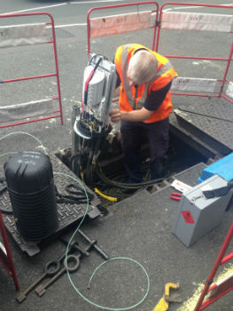
Government’s Framework for UK Fibre Delivery