
Data Capture
Don't miss a beat, sign up to our newsletter


5th Cyber Operations for National Defense Symposium
5th September 2018
5th Cyber Operations for National Defense Symposium
Acquisition of Outback Guidance Business from AgJunction, Inc.
4th September 2018
Acquisition of Outback Guidance Business from AgJunction, Inc.
Artificial Intelligence in Geoinformatics Domain Working Group
4th September 2018
Artificial Intelligence in Geoinformatics Domain Working Group
Elbit Systems of Australia to Help Train ADF Cyber Warriors
4th September 2018
Elbit Systems of Australia to Help Train ADF Cyber Warriors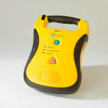
V.Ships and Martek Marine to fight sudden cardiac arrest at sea
3rd September 2018
V.Ships and Martek Marine to fight sudden cardiac arrest at sea
New digital service to minimise disruptive roadworks
3rd September 2018
New digital service to minimise disruptive roadworks
CGG Develops a Centre for Advanced Imaging for PETRONAS
3rd September 2018
CGG Develops a Centre for Advanced Imaging for PETRONAS
Garmin announces availability of TXi, GTN and GFC software upgrades
3rd September 2018
Garmin announces availability of TXi, GTN and GFC software upgrades
Prestigious $20,000 prize awarded to futuristic ‘drone ambulance’
3rd September 2018
Prestigious $20,000 prize awarded to futuristic ‘drone ambulance’

GCC Operational Technology Security Forum
31st August 2018
GCC Operational Technology Security Forum
Schneider Electric Officially Releases Arcfm 10.6.1
31st August 2018
Schneider Electric Officially Releases Arcfm 10.6.1
Hexagon Partners with Clevest to Improve Utility Field Operations
30th August 2018
Hexagon Partners with Clevest to Improve Utility Field Operations
Heart of the next-generation transport management system in Sydney
30th August 2018
Heart of the next-generation transport management system in Sydney
Withstands Operating Temperatures up to 300ºC
30th August 2018
Withstands Operating Temperatures up to 300ºC
Kinetica Maps Future of Automotive Industry Powered by Extreme Data
30th August 2018
Kinetica Maps Future of Automotive Industry Powered by Extreme Data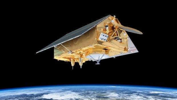
‘Ocean’ satellite Sentinel-6A beginning to take shape.
30th August 2018
‘Ocean’ satellite Sentinel-6A beginning to take shape.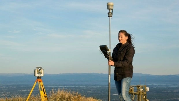
Trimble Launches New Model of its R10 GNSS System for Land Surveyors
30th August 2018
Trimble Launches New Model of its R10 GNSS System for Land Surveyors
Be our guest at the infrastructure industry event of the year.
30th August 2018
Be our guest at the infrastructure industry event of the year.
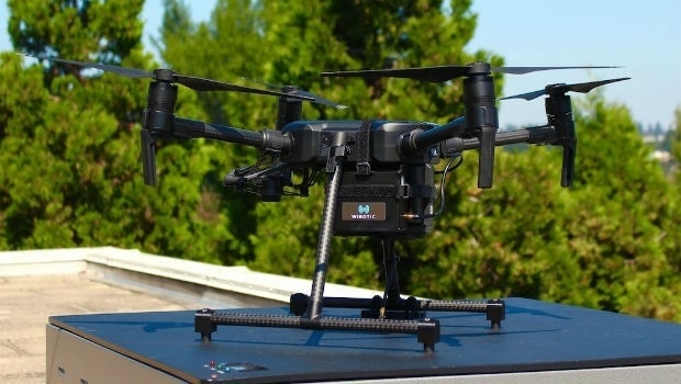
WiBotic Announces a Wireless Power System for DJI Matrice 200 Series Drones
29th August 2018
WiBotic Announces a Wireless Power System for DJI Matrice 200 Series Drones
Answers to the questions on the new general aviation regulation
29th August 2018
Answers to the questions on the new general aviation regulation
ClassNK adds to RIMS portfolio of class approvals
29th August 2018
ClassNK adds to RIMS portfolio of class approvals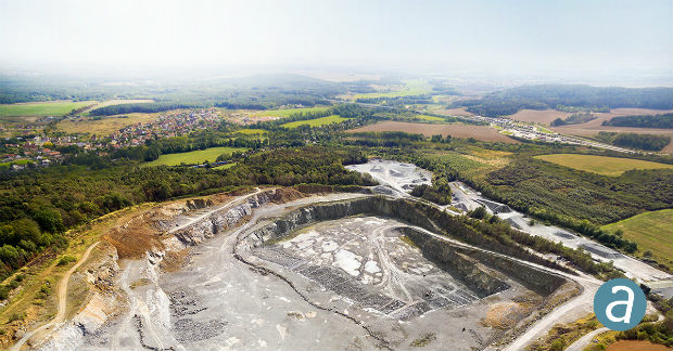
SimActive for Mining: Drones & Volume Calculation
28th August 2018
SimActive for Mining: Drones & Volume Calculation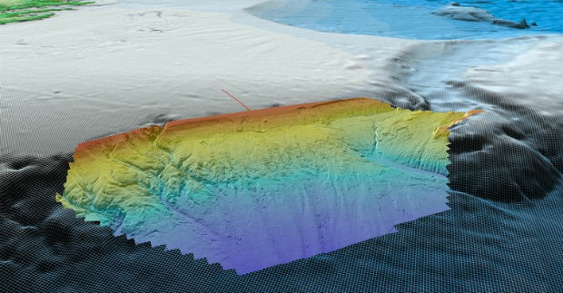
Fugro Acquires Data In Frontier Region Seep Hunting Programme
28th August 2018
Fugro Acquires Data In Frontier Region Seep Hunting Programme
Commercial UAV Expo Is Hosting “Beyond The Cage” Demonstrations
28th August 2018
Commercial UAV Expo Is Hosting “Beyond The Cage” Demonstrations
The Regulatory Compliance & Integrity Management Department Expanded
28th August 2018
The Regulatory Compliance & Integrity Management Department Expanded
Laser Technology, Inc. Announces a New TruPulse 360 Laser Rangefinder
28th August 2018
Laser Technology, Inc. Announces a New TruPulse 360 Laser Rangefinder
URISA's GISCorps Announces Community Maps
28th August 2018
URISA's GISCorps Announces Community Maps
NUAIR Alliance Announces Partnership with Unifly
28th August 2018
NUAIR Alliance Announces Partnership with Unifly
Airbus to provide new NATO Public Key Infrastructure
28th August 2018
Airbus to provide new NATO Public Key Infrastructure
Siemens and Bentley partner in new digital solution
28th August 2018
Siemens and Bentley partner in new digital solution
PCI Geomatics signs Strategic Education Alliance Agreement
28th August 2018
PCI Geomatics signs Strategic Education Alliance Agreement
U.S. Air Force’s First Advanced GPS III Satellite To Cape Canaveral
28th August 2018
U.S. Air Force’s First Advanced GPS III Satellite To Cape Canaveral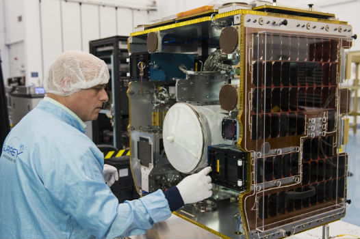
RemoveDEBRIS mission completes in-orbit commissioning
23rd August 2018
RemoveDEBRIS mission completes in-orbit commissioning
ESA.jpg)
ESA’s Aeolus wind sensing satellite successfully launched from Kourou
23rd August 2018
ESA’s Aeolus wind sensing satellite successfully launched from Kourou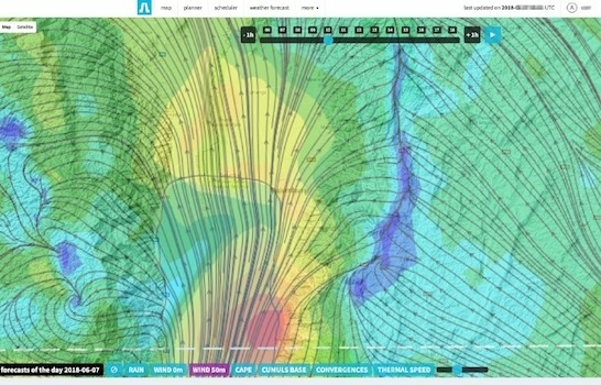
Soar to Offer Atmosoar’s Revolutionary Weather Forecasting Technology
22nd August 2018
Soar to Offer Atmosoar’s Revolutionary Weather Forecasting Technology
"HERE topples Google to take first place" - Ovum*
22nd August 2018
"HERE topples Google to take first place" - Ovum*
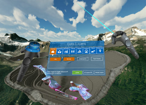
Maptek and LlamaZOO bring the mine to brilliant life
22nd August 2018
Maptek and LlamaZOO bring the mine to brilliant life
Swift Navigation Announces BeiDou and Galileo Support for Piksi Multi
22nd August 2018
Swift Navigation Announces BeiDou and Galileo Support for Piksi Multi
Geneq Inc. Announces the new F90 GNSS Receiver
22nd August 2018
Geneq Inc. Announces the new F90 GNSS Receiver
TomTom Reaches Mapping Milestone: 1.5bn Updates in a Single Month
21st August 2018
TomTom Reaches Mapping Milestone: 1.5bn Updates in a Single Month
HawkEye 360 Announces Eagle Technology as Partner for New Zealand
21st August 2018
HawkEye 360 Announces Eagle Technology as Partner for New Zealand
Hemisphere GNSS Acquires Outback Guidance Business from AgJunction, Inc.
21st August 2018
Hemisphere GNSS Acquires Outback Guidance Business from AgJunction, Inc.