
URISA Leaders Recognized at GIS-Pro & CalGIS 2018
18th October 2018
URISA Leaders Recognized at GIS-Pro & CalGIS 201818th October 2018
URISA Leaders Recognized at GIS-Pro & CalGIS 201818th October 2018
Hexagon Geosystems at GEO|Design+BIM 2018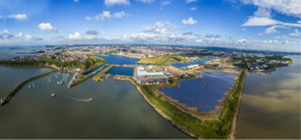
17th October 2018
OceanWise supplies new Tide and Weather Systems to all ABP South Wales Ports
17th October 2018
GeoMax announces X-PAD Ultimate field software17th October 2018
DotProduct announces Dot3DTM 3.0 with Intel® RealSenseTM 3D scanning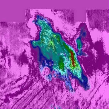
17th October 2018
High-End Seismic Imaging Solves Shallow Gas Challenges17th October 2018
Geomni Forms Strategic Alliance with Skyline Software Systems
17th October 2018
Trimble Introduces New Handheld Computer for Field Data Collection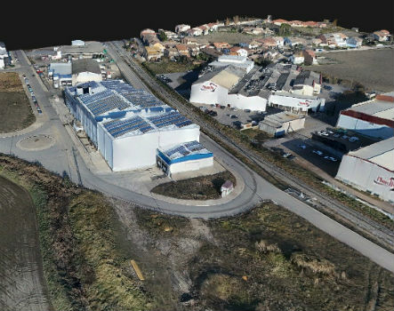
17th October 2018
Trimble Inpho Software Suite Extends Photogrammetric Deliverables17th October 2018
Going Digital (Twins): Bentley Inaugurates iTwinTM Services!17th October 2018
Rugged Tablet Purpose-built for High Accuracy Measurements16th October 2018
Clickadu chooses Digital Element’s IP intelligence solution
16th October 2018
GeoSLAM Welcomes New Member Of ZEB Family For Indoor + Outdoor Use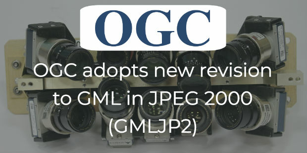
16th October 2018
OGC adopts new revision to GML in JPEG 2000 (GMLJP2)
16th October 2018
Modern Facies Analysis Brings Greater Accuracy to Reservoir Models16th October 2018
International LiDAR Mapping Forum Announces 2019 Education Program16th October 2018
Meet the latest GeoTech and PropTech companies
16th October 2018
Universal Avionics, Unveils New ‘Head-Up, Head-Down’ Flight Deck
15th October 2018
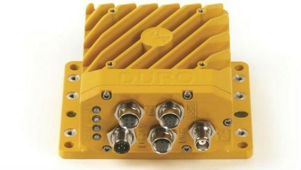
Swift Navigation and Carnegie Robotics Introduce Duro Inertial
15th October 2018
Golden Software Releases Preview of Enhanced Scientific Graphing Package
12th October 2018
Topcon announces speaking presentations for Year in Infrastructure 2018
12th October 2018
Cyient to Launch Geospatial Data Exploitation Solutions at Intergeo 2018
12th October 2018
Orbit GT signs strategic Smart Mapping deal with Singapore Land Authority at Embassy12th October 2018
Boundless Partners with the United Nations on the UN Open GIS Initiative12th October 2018
Global Mapper Adds Online Access to NEXTMap One™
12th October 2018
Aeromao Inc. announces the Aeromapper Talon Amphibious
11th October 2018
Navsight Land/Air Solution: Powerful New Inertial Navigation Solution
11th October 2018
Novel LIDAR Data Improves Our Understanding Of Tropical Forests
11th October 2018
MALLORCA: Small Island hit by Flash Flooding
11th October 2018
Swift Navigation Introduces Starling, a GNSS Positioning Engine
11th October 2018
Premiere of the EUROPEAN DRONE SUMMIT on 15 October in Frankfurt a.M.11th October 2018
iSTAR Pulsar collaborations on show at INTERGEO 2018
11th October 2018
Japan-based Terra Drone acquires significant stake in Inkonova.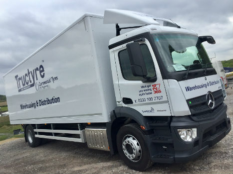
11th October 2018
Tructyre Teams Up With Ctrack To Improve Driver Behaviour
10th October 2018
PTC PLM to Enable Development of Volocopter’s Autonomous Air Taxis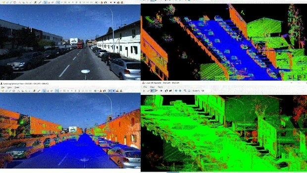
10th October 2018
SITECO's NEW Road-SIT Survey v. 7.0 AT INTERGEO 2018
10th October 2018
Garmin® G5000 integrated flight deck upgrade makes significant progress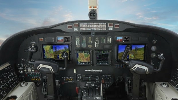
10th October 2018
Garmin® announces availability of the G700 TXi flight display10th October 2018
Hexagon Digitalizes and Democratizes the Census Process
10th October 2018
Seamless integration between FltPlan.com and Garmin Pilot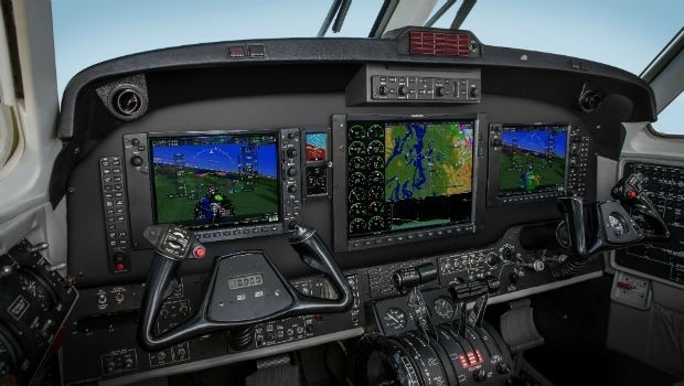
10th October 2018
Garmin® expands availability of retrofit G1000 NXi
9th October 2018
CORSICA: Satellite Images Highlight Major Oil Spill
9th October 2018
Spottitt Launches Cloud-Based Geospatial Data Analysis9th October 2018
Hexagon presents solutions for smart digital realities at INTERGEO
9th October 2018
Handheld announces free MaxGo Android apps for staging and security
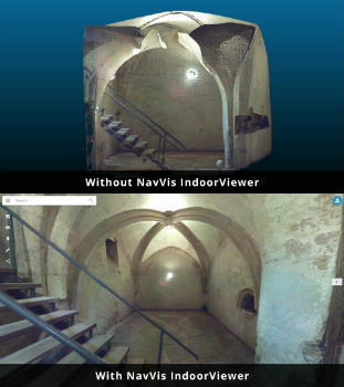
8th October 2018
NavVis IndoorViewer converts static scans into immersive 360° imagery