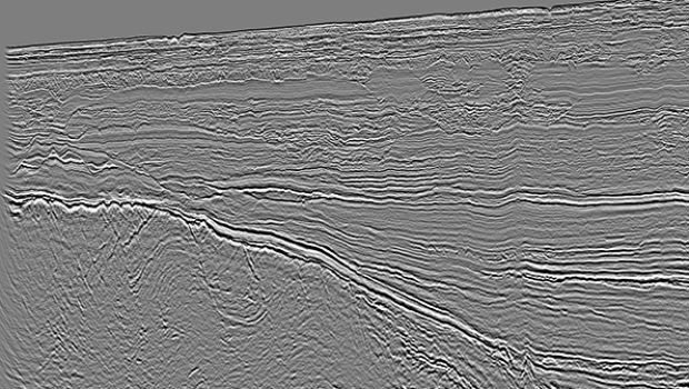
CGG’s Mozambique Multi-Client Survey Now Available
8th November 2018
CGG’s Mozambique Multi-Client Survey Now Available
8th November 2018
CGG’s Mozambique Multi-Client Survey Now Available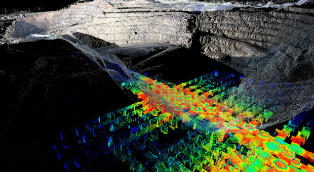
8th November 2018
PointStudio - New name and platform for Maptek spatial data application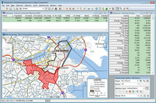
8th November 2018
Learn More About Maptitude for Redistricting8th November 2018
Boundless to Sponsor AGS Geography Teacher Fellows Program at Geography 20507th November 2018
Map Maker AND joins the Esri Partner Network
7th November 2018
All good things come in threes: MetOp-C successfully launched
7th November 2018
RIEGL is Expanding their Airborne and UAV Sensor Product Range!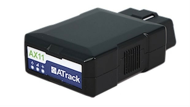
7th November 2018
ATrack Recognized with 2018 ICT Month Innovative Elite Award7th November 2018
TPC Desktop 2018 Release 2 is Now Available!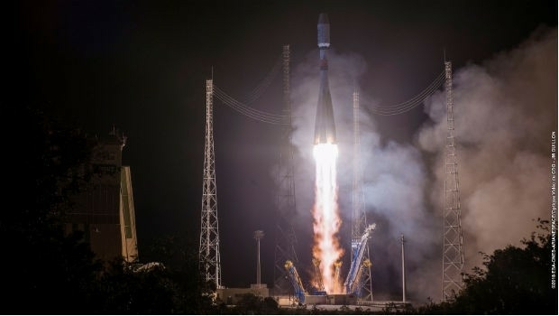
7th November 2018
EUMETSAT’s third Metop satellite successfully launched7th November 2018
RIEGL will be attending and exhibiting at Autodesk University 2018!
7th November 2018
Data validation from 1Spatial helps support Rural Payment Agency (RPA)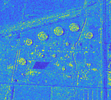
29th October 2018
Airbus and Ursa to continue partnership on use of radar satellite data
29th October 2018
SAFIR consortium chosen to carry out U-space drone demonstrations
27th October 2018
Garmin receives approval for the GFC 500 autopilot
27th October 2018
Eos Supports Haiti Outreach in its Sustainable Water Initiative
26th October 2018
DARA project wins Better Satellite World Award.jpg)
25th October 2018
Cyber Security Summit & Expo set to provide unrivalled content
25th October 2018
Airbus launches Ocean Finder to improve safety of assets at sea25th October 2018
City Technical Services To Improve Efficiency And Enhance Safety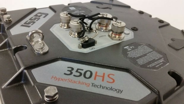
25th October 2018
GSSI Highlights UtilityScan® GPR System at GSA Annual Meeting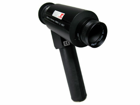
24th October 2018
IR Viewers - Available from Stock for Quick Dispatch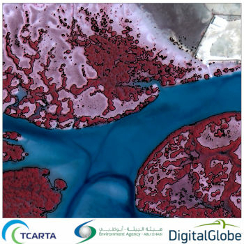
24th October 2018
Satellite-Derived Mangrove Health Assessment Delivered to Abu Dhabi
24th October 2018
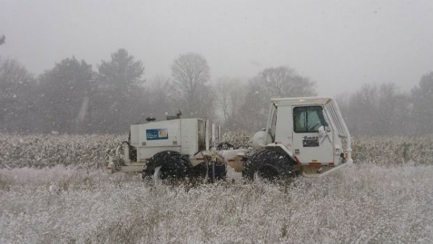
Fugro Seminar To Spotlight Role Of Geoscience24th October 2018
Esri enters into MOU with UAE Statistics Authority
24th October 2018
Lockheed Martin Purchase An Aeromapper Talon sUAS
24th October 2018
Remember Remember QGIS 3 Training in November24th October 2018
SSTL’s international exports recognised with a UK Board of Trade Award24th October 2018
GeoSpock Wins Liverpool Mayor’s ‘Smart Cities Realised’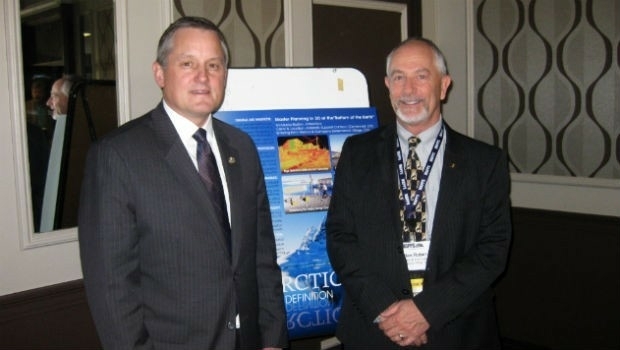
24th October 2018
MAPPS Announces Passage of the Geospatial Data Act
24th October 2018
French Navy’s surface fleet now equipped with RIFAN 2 secure intranet24th October 2018
RIEGL to Exhibit and Present at Future of Mining Americas 2018!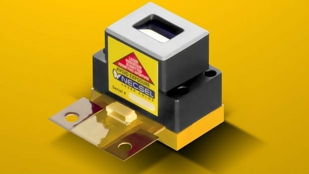
23rd October 2018
1W Output Power at 577nm - Yellow High Power Laser22nd October 2018
Esri Announces Student Poster Competition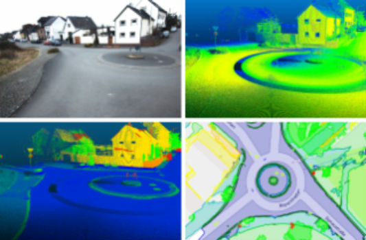
22nd October 2018
Fraunhofer IPM supports route planning for fiber-optic networks
22nd October 2018
Ordnance Survey appoints John Clarke as Non-Executive Director19th October 2018
Spectra Precision Announces Name Change and a New Brand Identity19th October 2018
Government of Canada to Invest $7.2 Million in exactEarth
19th October 2018
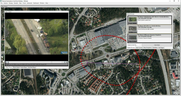
Remote GeoSystems Releases New MISB FMV Module18th October 2018
Geospatial Media and Communications announces GEO|Design+BIM Awards
18th October 2018
Uavos Inc. And Stratodynamics Aviation Inc. Pioneer A Monitoring Project
18th October 2018
Airbus to showcase smart solutions for safer oceans at Euronaval
18th October 2018
Advanced subsurface insight is theme of Fugro geophysics seminar