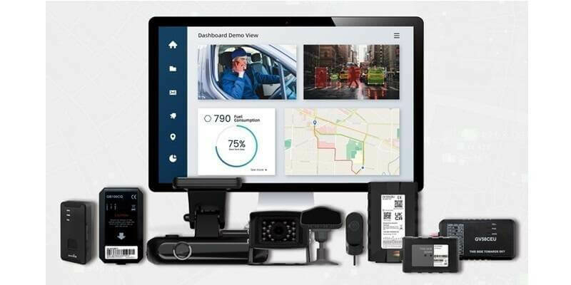
Queclink Integrates With Leading IoT Platforms To Provide Self-Managed Fleet And Video Telematics
8th March 2024
Queclink Integrates With Leading IoT Platforms To Provide Self-Managed Fleet And Video Telematics
8th March 2024
Queclink Integrates With Leading IoT Platforms To Provide Self-Managed Fleet And Video Telematics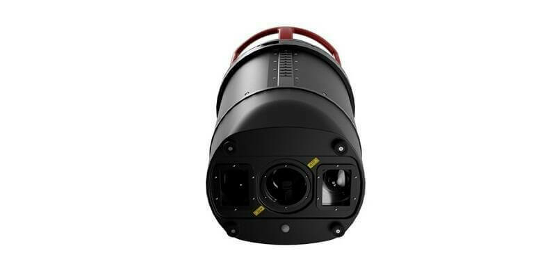
1st March 2024
Leica Geosystems unveils Leica TerrainMapper-3, the all-in-one sensor for versatile airborne LiDAR mapping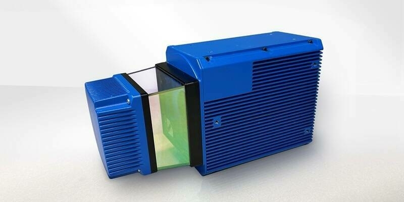
1st March 2024
Teledyne Geospatial to bring new Optech hardware and CARIS software solutions to Oceanology International 2024
21st February 2024
Fugro UST21 joint venture opens office in South Korea in support of growing offshore renewable energy sector
15th February 2024
Introducing the Trimble MX90 Mobile Mapping System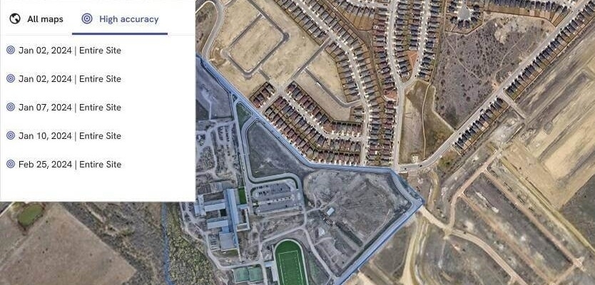
13th February 2024
Trimble and DroneDeploy Introduce Premier Positioning Accuracy and Streamlined Workflow for Reality Capture from Drones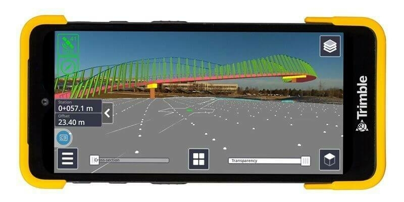
24th January 2024
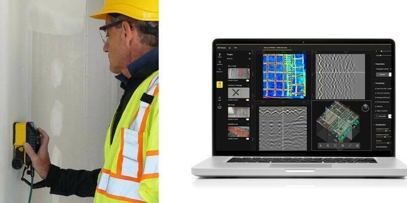
IDS GeoRadar launches new concrete inspection solutions at World of Concrete
10th January 2024
Miros driving change and staying ahead of the wave in 2024
21st December 2023
Ferd invests in ocean technology group General Oceans
20th December 2023
A breakthrough year for digitalization in the offshore sector
24th November 2023
Fugro to advance ocean science and ocean climate action agenda at COP28
23rd November 2023
Spaceflux Secures UK Government Contracts to Enhance Sovereign Space Domain Awareness Capabilities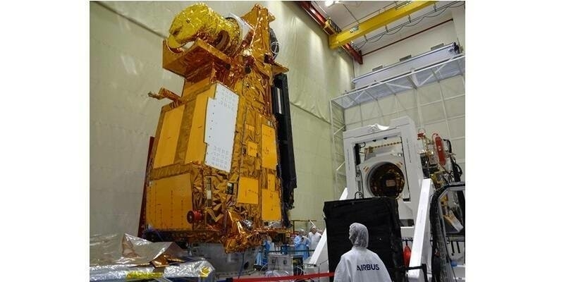
21st November 2023
Next-generation satellites undergo tests at the Airbus Defence and Space cleanroom in Toulouse, France
8th November 2023
Kinematic Data Acquisition from Different Moving Platforms: Watch the RIEGL VZ-i Series Video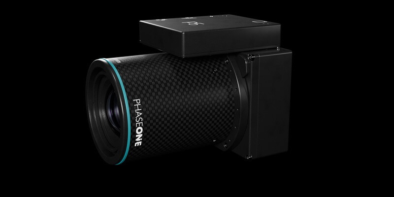
8th November 2023
Phase One, Quantum Systems and Trimble Unveil Groundbreaking Survey Grade UAV Solution with Phase One P5 Camera Launch
30th October 2023
CGG has Joined Phase 3 of HNET Seismic Monitoring Network for Horda Platform Northern Lights CO2 Storage Project
27th October 2023
DJI Releases the Osmo Pocket 3 for Moving Moments with Unparalleled Precision
26th October 2023
ABP Southampton embarks on new Current Monitoring project with OceanWise

16th October 2023
CHC Navigation Introduces the AlphaUni 20 LiDAR System
10th October 2023
NASA Selects Commercial Smallsat Data Acquisition Contractors
26th September 2023
IDS GeoRadar launches Chaser XR ground-penetrating radar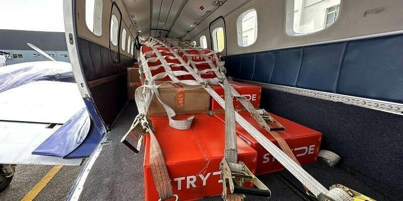
22nd September 2023
First large-scale onshore nodal CCS exploration projects in Brazil commence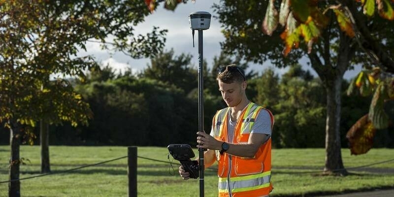
22nd September 2023
New Trimble GNSS Receiver with Trimble ProPoint Delivers Survey Precision and Productivity in the Field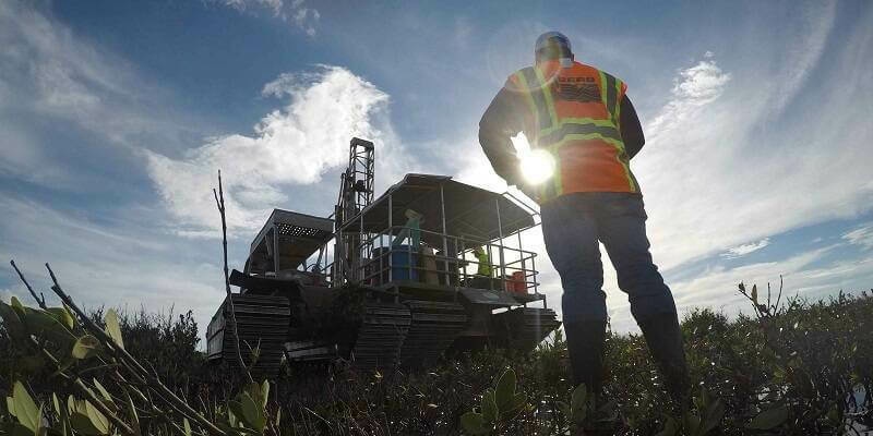
20th September 2023
Fugro provides geotechnical expertise for clean fuel project in Louisiana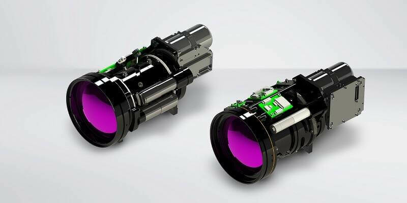
13th September 2023
Teledyne FLIR Expands Turnkey Neutrino Ground ISR Series for Integrators
11th September 2023
GeoCom 23: Intelligent Geospatial for a Sustainable Future

11th September 2023
Handheld Group’s Algiz 10XR Rugged Tablet Now Certified on Verizon 5G Networks
11th September 2023
Mesa Pro is the World’s First IP68-rated Rugged Tablet with Active Cooling
11th September 2023
GeoCue Unveils Three New, High-End, Trueview 3D Imaging Systems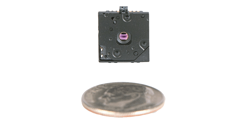
11th September 2023
Teledyne FLIR Introduces Lepton 3.1R Radiometric Thermal Camera Module for Integrators
11th September 2023
1Spatial launches 1Capture, the configurable GIS mobile app delivering ‘right first time’ surveys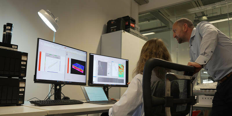
24th August 2023
STRYDE launches integrated in-field data processing service for faster decision-making
21st August 2023
Vessel traffic surveys underway for Buchan Offshore Wind Project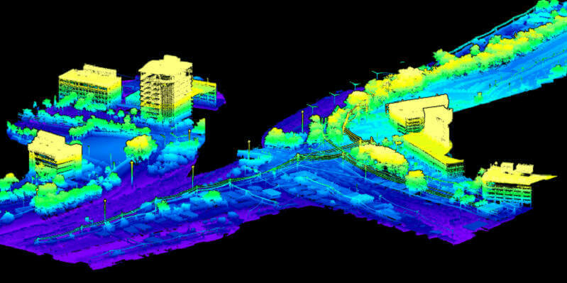
18th August 2023
SurvTech Solutions Completes Their Geospatial Portfolio with RIEGL VPX-1 Helicopter Pod
18th August 2023
Fugro’s metocean survey for Salamander offshore wind farm project supports the UK’s net-zero future
17th August 2023
Mesa Pro is the World's First IP68-rated Rugged Tablet with Active Cooling
15th August 2023
Handheld Group's Algiz 10XR Rugged Tablet Now Certified on Verizon 5G Networks
8th August 2023
Japan's research institute RIKEN, Mitsui Bussan Aerospace and NanoAvionics collaborate on launching the NinjaSat X-ray observatory
7th August 2023
Explore a World of Opportunities: Join KOREC Group as a Geospatial Sales Consultant
28th July 2023
Leica Geosystems introduces the next evolution in smart, autonomous mobile mapping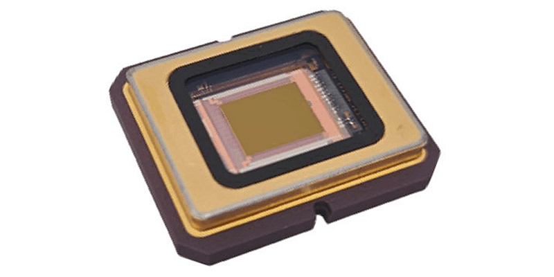
28th July 2023
SPIE 2023: SCD to launch the SWIFT-EI solution
28th July 2023
Sonardyne launches new Origin ADCPs for intelligent operations
28th July 2023
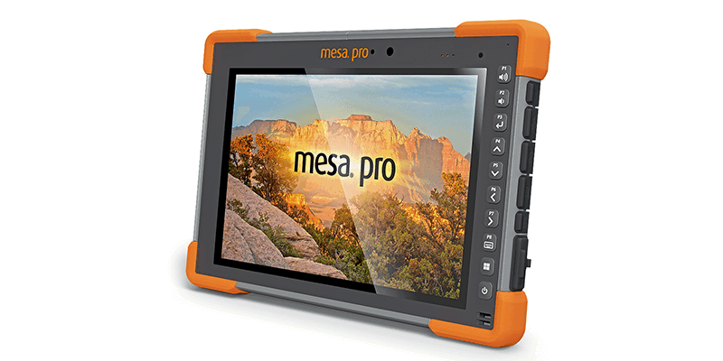
Juniper Systems’ Customisable Mesa Pro Rugged Tablet is Now Available Worldwide