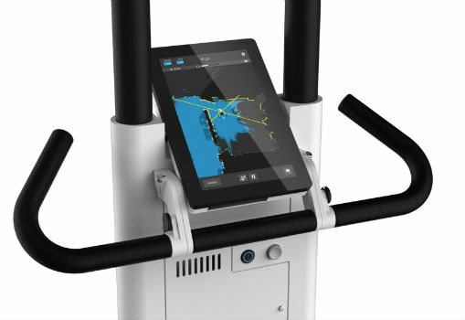
NavVis Raises $35.5M to Accelerate Global Expansion
11th December 2018
NavVis Raises $35.5M to Accelerate Global Expansion
11th December 2018
NavVis Raises $35.5M to Accelerate Global Expansion
10th December 2018
Terra Drone Corporation buys major stake in C4D Intel Pty Ltd.7th December 2018
exactEarth AIS Payload on the PAZ Radar Satellite is Now Live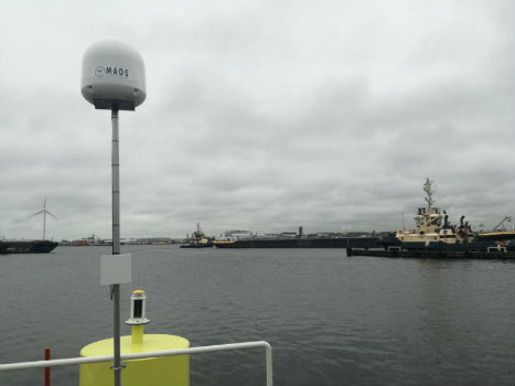
6th December 2018
Port of Amsterdam launches drone detection trial
6th December 2018
OGC seeks public comment on PipelineML candidate standard
6th December 2018
senseFly widens commercial strategy and announces new leadership
6th December 2018
Elbit Systems Teams with Leonardo to Develop Torpedo Capability
6th December 2018
Eos Announces Orthometric Height Support for Arrow GNSS Receivers
6th December 2018
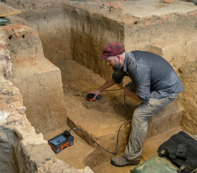
GSSI Collaborates with Jamestown Rediscovery Foundation6th December 2018
Pix4DMapper + Aeromapper Talon fixed wing BVLOS system5th December 2018
Meet Key players of the Unmanned Systems Industry at TUS Expo Europe 20195th December 2018
GeoCue Enables Third Party GNSS Use with Phantom 4 RTK5th December 2018
MapTiler wins Airbus Challenge of the Copernicus Masters 2018
5th December 2018
Use of online disaster-related geographic information
5th December 2018
UK Power Networks deploys Cartosys location-based services toolkit
5th December 2018
ERM Advanced Telematics Targets Stolen Vehicle Recovery5th December 2018
GSSI to Showcase UtilityScan® GPR system at AGU Fall Meeting5th December 2018
RIEGL will be exhibiting and presenting at IAFSM 2018!
5th December 2018
Esri Partners with the Ocean Health Index Team
5th December 2018
Fugro’s IRM Efficiencies Reduce Costs And Attract New North Sea Clients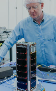
4th December 2018
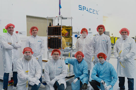
SSTL confirms successful launch of KazSTSAT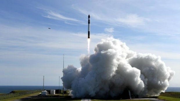
4th December 2018
Australia’s first commercial orbital launch facility_Cnes_2018_-_Distribution_Airbus_DS.jpg)
4th December 2018
Airbus locates maxi-trimaran Banque Populaire IX
4th December 2018
ANRA Technologies UAS Traffic Management (UTM) Soars Into The UK

3rd December 2018
Disy releases new version of spatial ETL tool for Talend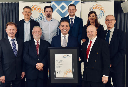
3rd December 2018
Maptek Sentry wins Excellence in Innovation award2nd December 2018
The 4th Unmanned Systems (TUS) Expo Europe 2019
30th November 2018
Uavos Tested New Flight Algorithm ‘Glider’ For An Unmanned Helicopter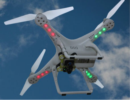
30th November 2018
Autonomous Vehicles, the Highlight of Ocean Business 2019
30th November 2018
Septentrio boosts its portfolio with mosaic GNSS module
29th November 2018
Paragon Co-Founder And Director To Retire After Almost 35 Years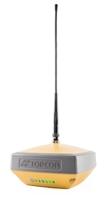
28th November 2018
Introducing the Topcon HiPer VR GNSS Receiver
28th November 2018
Announcing the OGC Energy & Utilities Summit
28th November 2018
SAS Signs Significant Distribution Agreement with GlobalSat28th November 2018
Add Geographic Intelligence to your Software Projects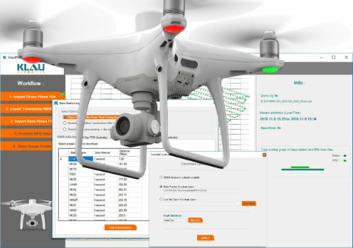

28th November 2018
What apps can I use with Trimble Catalyst?27th November 2018
HERE Technologies announces developer APIs on AWS Marketplace27th November 2018
EuroSDR One-Day Workshop on Single Photon and Geiger-Mode LiDAR
27th November 2018
SimActive Software Used for Large-Scale Photogrammetry Project
26th November 2018
Unveiling of Europe’s most modern satellite control centre
26th November 2018
FREQUENTIS paves the way for efficient use of drones in public safety