
Delair announces interoperability of high-precision PPK drone data
16th January 2019
Delair announces interoperability of high-precision PPK drone data16th January 2019
Delair announces interoperability of high-precision PPK drone data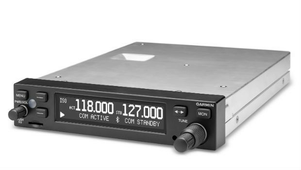
16th January 2019
Garmin® TeamX introduces the GTR 200B comm radio with Bluetooth®
16th January 2019
Feasibility of Guidance for First Responder Body-worn Sensors16th January 2019
Hexagon’s Geospatial Division Releases Luciad V2018.1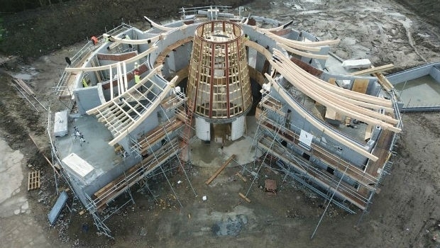
16th January 2019
Making History With The Help Of Topcon Technology
16th January 2019
ERM Advanced Telematics Targets Car Sharing Market
16th January 2019
CGG Continues to Expand Anadarko Basin Library
16th January 2019
Fugro To Deploy Unique Rila Technology In Network Rail Contract Win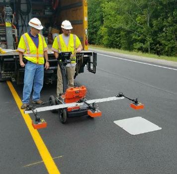
14th January 2019
Maine DOT Uses New GPR Technology to Improve Road Pavement Quality11th January 2019
Industry professionals inspire teachers thanks to Topcon
11th January 2019
SIAP joins Rezatec on UK Space Agency COMPASS project9th January 2019
Microsatellite Constellation Built by Space Flight Laboratory
9th January 2019
Septentrio & Sapcorda to demonstrate autonomous driving at CES
4th January 2019
Valeo Demonstrates Telematics Platform Equipped with Autotalks' Global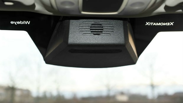
4th January 2019
A seamless integration of LiDAR sensors behind vehicles’ windshield
4th January 2019
Tory Elmore Named URISA Young Professional of the Year3rd January 2019
HERE secures top spot in Strategy Analytics' 2018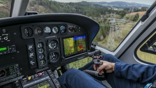
3rd January 2019
Garmin® announces certification of the G500H TXi flight displays2nd January 2019
u-blox seeks fair, reasonable and non-discriminatory (FRAND) licensing terms27th December 2018
Next Generation GPS III Satellite Responding to Commands27th December 2018
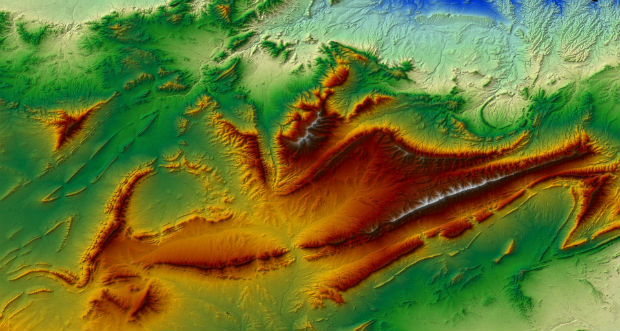
PCI Geomatics Announces Remote Sensing Young Scholars Program
21st December 2018
GAF has been awarded a Framework Contract by the European Union Satellite Centre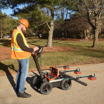
21st December 2018
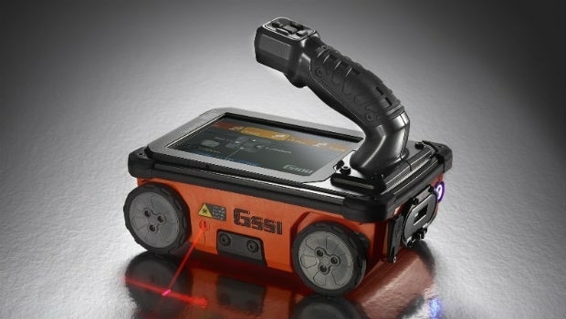
GSSI Showcases Its Latest GPR Technology at World of Concrete


20th December 2018
Headwall Photonics Further Builds Business in Europe20th December 2018
GEO Business Opens Registration for 2019 event19th December 2018
French military Earth observation satellite (CSO) launched successfully
19th December 2018
Terra Drone South Africa succeeded the underground mining demonstration19th December 2018
e-GEOS (Telespazio/ASI) to set up advanced center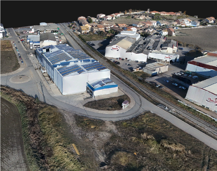

14th December 2018
AEP’s Extra High Voltage Electricity Transmission Assets In Oklahoma, USA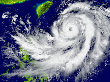
14th December 2018
Tracking tropical cyclones to improve risk assessment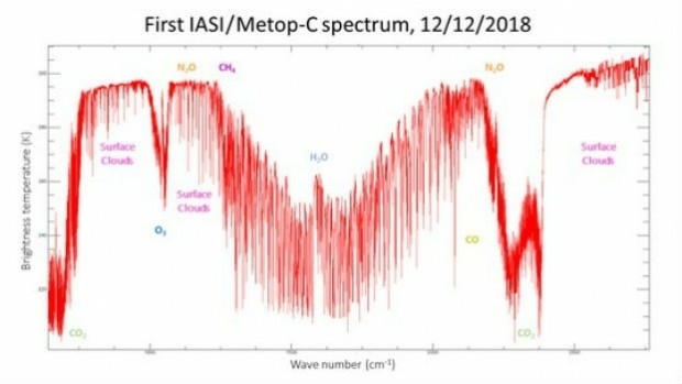
14th December 2018
Metop-C’s IASI instrument delivers first spectrum
14th December 2018
Industry-Leading Efforts To Close Seabed Mapping Data Gap
13th December 2018
Autotalks Validates C-V2X Chipsets Using Rohde & Schwarz Equipment13th December 2018
Sercel Awarded Contract for Land Seismic Acquisition System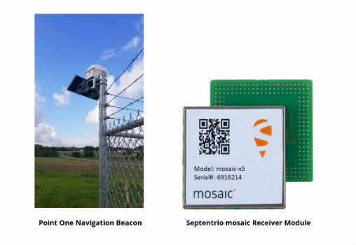
12th December 2018
Septentrio & Point One Navigation Partner for Autonomous Vehicle Demo
12th December 2018
Robins & Day Targets Improved Fleet Safety And Performance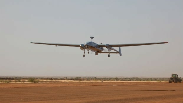
12th December 2018
Germany extends the contracts for the operation of the Heron 1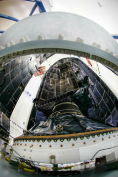
12th December 2018
First Lockheed Martin-Built GPS III Satellite Encapsulated for Dec. 18
11th December 2018
Gexcel presents the new HERON® Indoor Mobile Mapping System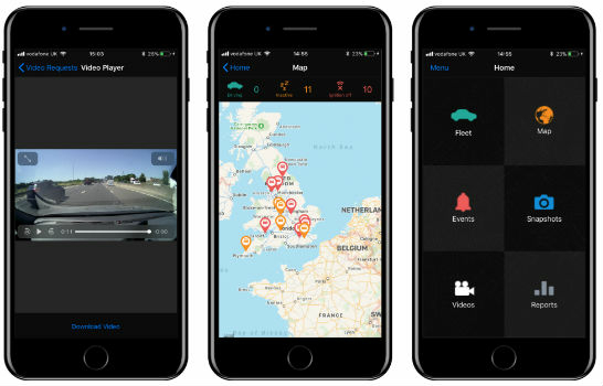
11th December 2018
Visiontrack Introduces New Video Telematics Mobile App
11th December 2018
NATO Deploys Globalstar’s IoT Satellite Technology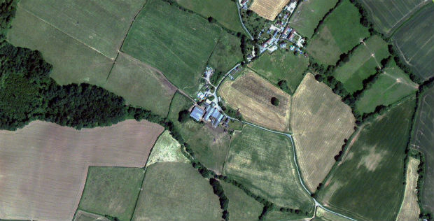
11th December 2018
Severn Trent Water enlists Earth-i to identify and combat water leaks