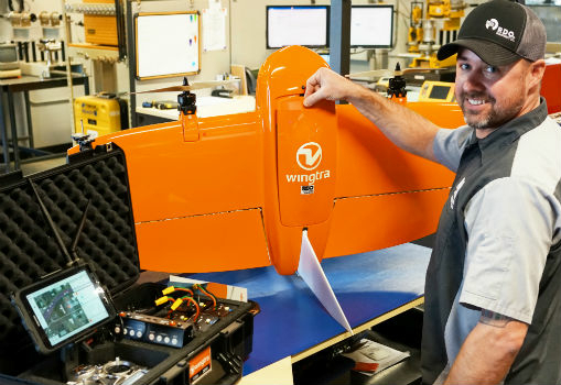
RDO becomes first WingtraOne drone Certified Repair Center
22nd February 2019
RDO becomes first WingtraOne drone Certified Repair Center
22nd February 2019
RDO becomes first WingtraOne drone Certified Repair Center22nd February 2019
Danish Geodata Agency Partners with Esri
21st February 2019
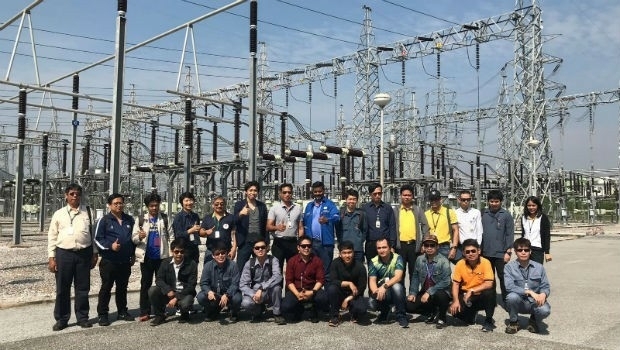
Terra Drone brings proven UAS solutions to India
20th February 2019
New map from HERE Technologies shows quality of cell phone coverage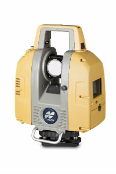
20th February 2019
Topcon GLS-2000 scanner update enhances data capture

20th February 2019
Improves Accuracy On Replica Grade 1 Listed Building Redevelopment
19th February 2019
COMPLETE MOBILE SURVEYING OF AMTRAK’S NEW YORK PENN STATION19th February 2019
Airbus turns imagery into insight with The OneAtlas Platform
19th February 2019
American Red Cross to present at Esri UK AC
19th February 2019
Nanotron and ClearBlade partner to deliver 360° Edge Analytics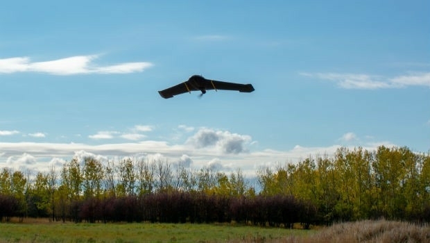
19th February 2019
IN-FLIGHT Data awarded three GUINNESS WORLD RECORDS™
19th February 2019
Juniper Systems Limited Launches New Cedar CT8 Rugged Tablet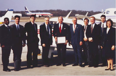
18th February 2019
Garmin® celebrates a GPS milestone in aviation
18th February 2019
Mapping and Monitoring the Carbon Content of Earth’s Forests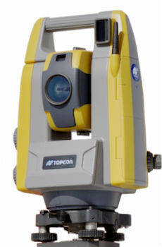
15th February 2019
Topcon introduces GT-503M motorised total station
15th February 2019
New radar systems enable quick integration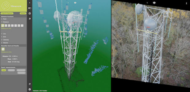

15th February 2019
Terra Drone Optimizes Long-Distance Power Line inspection
15th February 2019
Juniper Systems releases Cedar CT8 Rugged Tablet15th February 2019
exactEarth’s Revolutionary Global Real-Time Maritime Tracking
15th February 2019
Research project to offer neural networks training15th February 2019
HERE establishes groundbreaking AI research institute
15th February 2019
Bentley Systems Announces OpenUtilities™ Solutions for DER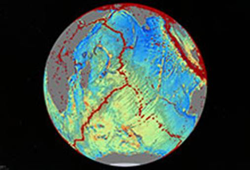
15th February 2019
Navy-Sponsored Scientist Awarded for Sea-Floor Mapping13th February 2019
Esri's Dr. Dawn Wright to Speak at the College of William & Mary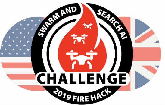
13th February 2019
Dstl Announce Swarming Drone Hackathon Challenge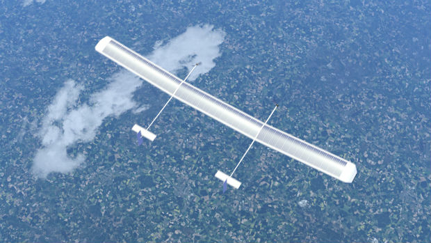
13th February 2019
New high-altitude platform to revolutionise the way we look at earth13th February 2019
Unifly partners with Terra Drone India to support UTM in India
13th February 2019
Drive, Park, Ride: Moovit and TomTom Align With Microsoft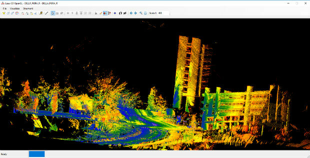
13th February 2019
Mobile Mapping System Road-Scanner for the first tram line in Bologna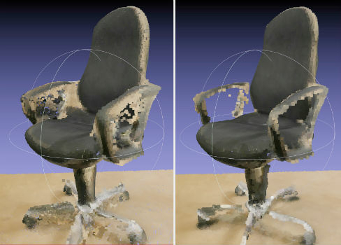
12th February 2019
NavVis now uses SLAM to automatically remove point cloud artifacts
12th February 2019
RIMS in certification as Remote Inspection Specialist using drones
12th February 2019
SimActive Expands its Partner Network for Medium Format Camera Solutions
11th February 2019
Exalto Emirates adds Martek's Anti Drone System to it's portfolio11th February 2019
MAPPS Presents the 2018 Geospatial Products and Services Excellence Awards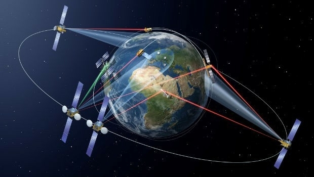
8th February 2019
Airbus and JSAT sign cooperation agreement8th February 2019
Aireon Takes Full Control of Final ADS-B Payloads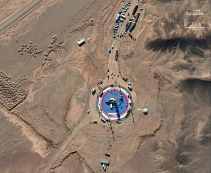
8th February 2019
Pre- and Post-Launch at of Iranian Satellite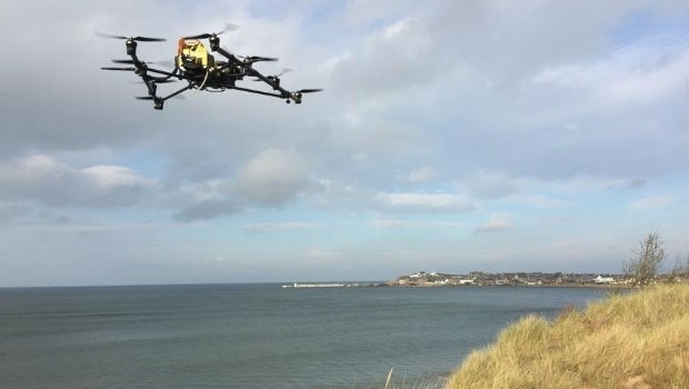
8th February 2019
Oil Spill Response Limited (OSRL) Announces New Global UAV Service
8th February 2019
Nanotron contributes to a ground-breaking collaborative project_dipping_sonar_onboard_Seagull_USV.jpg)
8th February 2019
A HELRAS Dipping Sonar Completed Sea Acceptance Test
8th February 2019
Terra Drone Invested in Indonesia’s Drone Service Company AeroGeosurvey
8th February 2019
Garmin® announces availability of the G1000 NXi upgrade