
The country’s most detailed map of roads and footways unveiled
13th March 2019
The country’s most detailed map of roads and footways unveiled13th March 2019
The country’s most detailed map of roads and footways unveiled
13th March 2019
Introducing the senseFly eBee X with MicaSense RedEdge-MX
13th March 2019
PIX4D announces first user conference in Denver, Colorado
12th March 2019
Fugro Strengthens Integrated Uxo Services For Offshore Renewables In Europe12th March 2019
Berlin Airport Now Provides Mobile Wayfinding To Guide Travelers!12th March 2019
World’s first cross-border emergency communication network
11th March 2019
Garmin® earns best supplier award from Embraer for the tenth time

8th March 2019
Terra Drone's First Global Summit Attended by over 20 Countries
7th March 2019
FREQUENTIS contributes to Mission Critical Services Standard testing
7th March 2019
Flexpoint® Long Range Laser Modules - For Use Over Distances up to 200m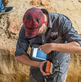
7th March 2019
GSSI Collaborates with Jamestown Rediscovery Foundation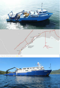
7th March 2019
Tdi-Brooks International Completes Texas Colt Offshore Pipeline Route Investigation
7th March 2019
GSSI Announces New Sales Professional for Western Canada
6th March 2019
Hexagon and Frequentis Partner for Integrated Control Room Solutions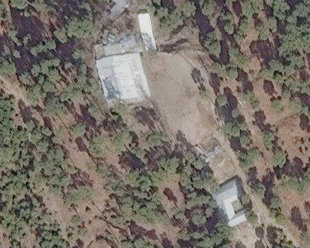
6th March 2019
Satellite Imagery confirms India missed target in Pakistan airstrike
6th March 2019
ERM Advanced Telematics launches easy to install UBI products6th March 2019
Juniper Systems Limited Reports Growth and Expansion throughout EMEA
5th March 2019
Dennis Hirota is Titans of Technology Hall of Fame Recipient!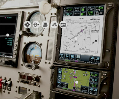
5th March 2019
Garmin® expands aviation database coverage and capabilities in Australia
4th March 2019
Predicting plastic pathways in the Thames and beyond
2nd March 2019
Digital Water Works, Inc. Receives Strategic Investment from Bentley Systems2nd March 2019
Garmin GFC 500 and GFC 600 autopilots approved for additional aircraft models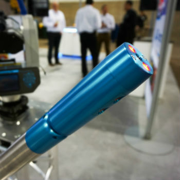
2nd March 2019
Carlson Unveils New C-ALS® Gyro at SME 20192nd March 2019
Hexagon’s Mining division partners with FluidIntel
1st March 2019
Fugro To Apply Specialist Geodata Services1st March 2019
Esri acquires indoor.rs and releases ArcGIS Indoors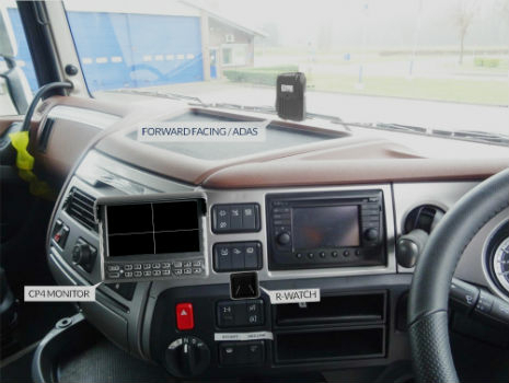
1st March 2019
ADVANCED ADAS AND LCV CONNECTED CAMERA SOLUTIONS AT CV SHOW 2019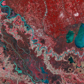
1st March 2019
DMC Constellation strengthens wide area monitoring capabilities
1st March 2019
GSSI Releases Improved StructureScan™ Mini XT GPR27th February 2019
Palatiello Promotes USGS 3DEP Before Congress26th February 2019
HawkEye 360 Begins First-of-its-Kind Commercial Geolocation

26th February 2019
GC invites you to its ‘Mixed Reality to the Edge’ Workshop
26th February 2019
TCarta Wins Contract to Map Seafloor around Remote Pacific Island Nation
26th February 2019
Rightware and HERE reimagine the digital automotive user experience
26th February 2019
Goonhilly Partners with the Australian Space Agency
26th February 2019
Global Mapper v.20.1 Now Available with Path Profile Zooming26th February 2019
Commercial UAV Expo Americas Announces Massive Support
26th February 2019
Trimble Announces Next Generation Mixed-Reality Device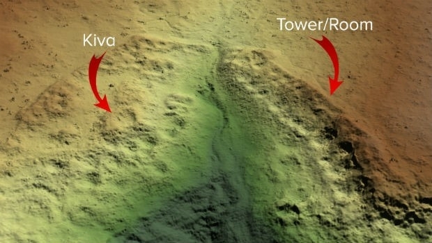
26th February 2019
Routescene Inc. drone based LiDAR system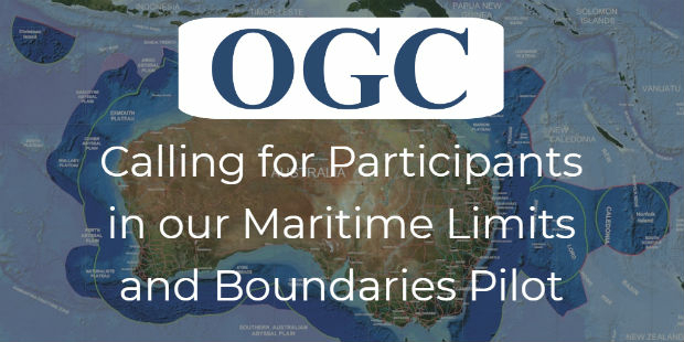
26th February 2019
OGC invites you to participate in its Maritime Limits and Boundaries Pilot25th February 2019
HERE to offer mapping and location services for China
25th February 2019
Bentley Systems Introduces Mixed Reality App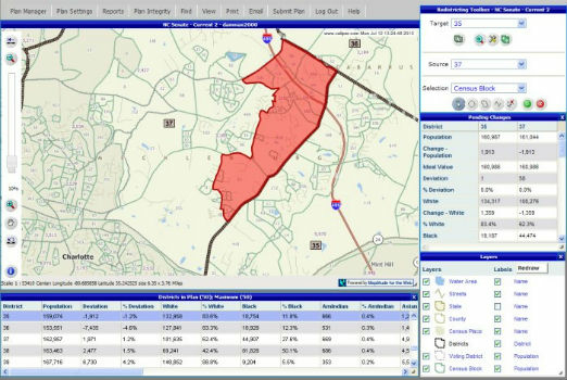
25th February 2019
Selected for Maryland's Online Redistricting Mapping Portal
25th February 2019
Blockchain and Distributed Ledger Technologies (BDLT) Domain Working Group