Maptitude Team Supports UTDallas GIS Day Events (from import)
Maptitude Team Supports UTDallas GIS Day Events

13th November 2018

Maptitude Team Supports UTDallas GIS Day Events
Orbit GT upgrades 3D Mapping Cloud to support Meshes, DEMs (from import)
Orbit GT upgrades 3D Mapping Cloud to support Meshes, DEMs

13th November 2018

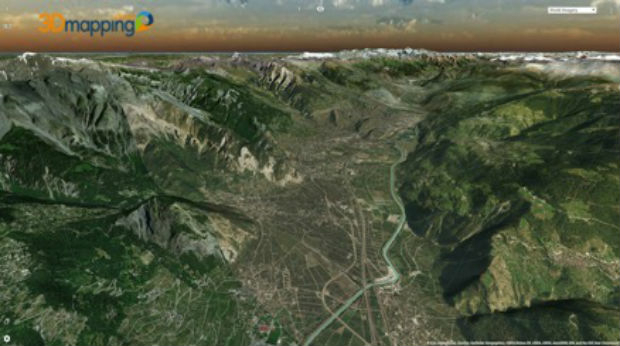
Orbit GT upgrades 3D Mapping Cloud to support Meshes, DEMs
Learn More About Maptitude for Redistricting (from import)

Learn More About Maptitude for Redistricting

8th November 2018

Learn More About Maptitude for Redistricting
Data validation from 1Spatial helps support Rural Payment Agency (RPA) (from import)

Data validation from 1Spatial helps support Rural Payment Agency (RPA)

7th November 2018

Data validation from 1Spatial helps support Rural Payment Agency (RPA)

GfK releases updated maps for all of Europe

29th October 2018

GfK releases updated maps for all of Europe
Pakistan’s Bahria University Benefits from CGG GeoSoftware’s Donation (from import)
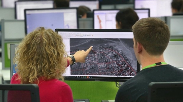
Pakistan’s Bahria University Benefits from CGG GeoSoftware’s Donation

25th October 2018

Pakistan’s Bahria University Benefits from CGG GeoSoftware’s Donation
thinkWhere’s theMapCloud Powers New Online Data Services (from import)

thinkWhere’s theMapCloud Powers New Online Data Services

25th October 2018

thinkWhere’s theMapCloud Powers New Online Data Services

Esri enters into MOU with UAE Statistics Authority
24th October 2018

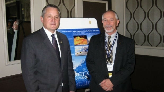
Esri enters into MOU with UAE Statistics Authority
MAPPS Announces Passage of the Geospatial Data Act (from import)

MAPPS Announces Passage of the Geospatial Data Act

24th October 2018

MAPPS Announces Passage of the Geospatial Data Act

Esri Announces Student Poster Competition
22nd October 2018

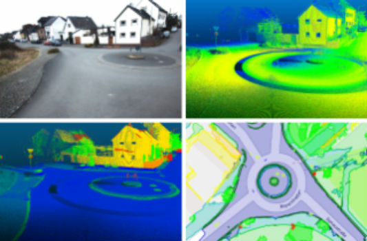
Esri Announces Student Poster Competition
Fraunhofer IPM supports route planning for fiber-optic networks (from import)

Fraunhofer IPM supports route planning for fiber-optic networks

22nd October 2018

Fraunhofer IPM supports route planning for fiber-optic networks
OGC seeks public comment on Symbology Conceptual Core Model (from import)

OGC seeks public comment on Symbology Conceptual Core Model

22nd October 2018

OGC seeks public comment on Symbology Conceptual Core Model
Ordnance Survey appoints John Clarke as Non-Executive Director (from import)

Ordnance Survey appoints John Clarke as Non-Executive Director

22nd October 2018

Ordnance Survey appoints John Clarke as Non-Executive Director

Spectra Precision Announces Name Change and a New Brand Identity

19th October 2018

Spectra Precision Announces Name Change and a New Brand Identity

Ordnance Survey publishes new puzzlebook

18th October 2018

Ordnance Survey publishes new puzzlebook

Meet the latest GeoTech and PropTech companies
16th October 2018

Meet the latest GeoTech and PropTech companies
Kaarta Announces Stencil 2 Mobile Mapping System (from import)
Kaarta Announces Stencil 2 Mobile Mapping System

16th October 2018

Kaarta Announces Stencil 2 Mobile Mapping System
First to publish DfT collision data (from import)

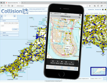
First to publish DfT collision data

15th October 2018

First to publish DfT collision data
Cyient to Launch Geospatial Data Exploitation Solutions at Intergeo 2018 (from import)
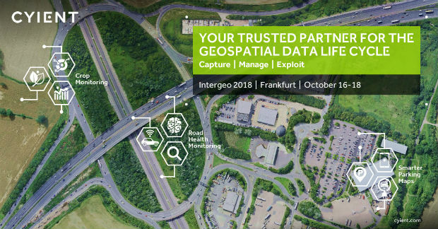
Cyient to Launch Geospatial Data Exploitation Solutions at Intergeo 2018

12th October 2018

Cyient to Launch Geospatial Data Exploitation Solutions at Intergeo 2018
Orbit GT signs strategic Smart Mapping deal with Singapore Land Authority at Embassy (from import)

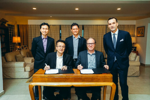
Orbit GT signs strategic Smart Mapping deal with Singapore Land Authority at Embassy

12th October 2018

Orbit GT signs strategic Smart Mapping deal with Singapore Land Authority at Embassy

Meet the latest GeoTech and PropTech companies

11th October 2018

Meet the latest GeoTech and PropTech companies
Orbit GT and Mitsubishi to co-operate and demo at Intergeo, Frankfurt. (from import)
Orbit GT and Mitsubishi to co-operate and demo at Intergeo, Frankfurt.

10th October 2018

Orbit GT and Mitsubishi to co-operate and demo at Intergeo, Frankfurt.
UK Hydrographic Office to unlock the value of location-based information (from import)
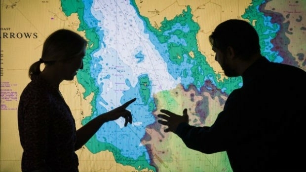
UK Hydrographic Office to unlock the value of location-based information

8th October 2018

UK Hydrographic Office to unlock the value of location-based information
HERE Technologies introduces HERE XYZ, a new cloud service (from import)

HERE Technologies introduces HERE XYZ, a new cloud service

4th October 2018

HERE Technologies introduces HERE XYZ, a new cloud service
USGIF Launches Third Annual EdGEOcation Giving Campaign (from import)

USGIF Launches Third Annual EdGEOcation Giving Campaign

3rd October 2018

USGIF Launches Third Annual EdGEOcation Giving Campaign
New data mapping technology to be trialled at Allianz Arena (from import)
New data mapping technology to be trialled at Allianz Arena

3rd October 2018

New data mapping technology to be trialled at Allianz Arena
Free Highway Exits & Interchanges Data for Use with Maptitude 2018 (from import)
Free Highway Exits & Interchanges Data for Use with Maptitude 2018

1st October 2018

Free Highway Exits & Interchanges Data for Use with Maptitude 2018
Free U.S. Traffic Count Data for Use with Maptitude (from import)
Free U.S. Traffic Count Data for Use with Maptitude

1st October 2018

Free U.S. Traffic Count Data for Use with Maptitude
SenSat expands into US market (from import)

SenSat expands into US market

27th September 2018

SenSat expands into US market
Joining the dots with new viaEuropa vector tile service from Europa (from import)

Joining the dots with new viaEuropa vector tile service from Europa

27th September 2018

Joining the dots with new viaEuropa vector tile service from Europa

Geovation helps establish GeoTech and PropTech
26th September 2018

Geovation helps establish GeoTech and PropTech
SAM, LLC: Using Technology To Enhance Solutions (from import)

SAM, LLC: Using Technology To Enhance Solutions

26th September 2018

SAM, LLC: Using Technology To Enhance Solutions

Driving geospatial innovation in Singapore and the United Kingdom

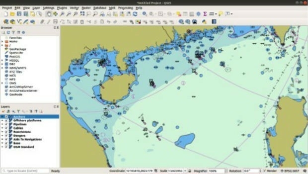
26th September 2018

Driving geospatial innovation in Singapore and the United Kingdom
New starters for Costain (from import)

New starters for Costain

26th September 2018

New starters for Costain

Garmin joins HERE Venues Marketplace

26th September 2018

Garmin joins HERE Venues Marketplace
Elane Inc. procures OceanWise Web Mapping Service (from import)

Elane Inc. procures OceanWise Web Mapping Service

25th September 2018

Elane Inc. procures OceanWise Web Mapping Service

Global Mapper v.20 Now Available with Improved 3D Model Functionality

19th September 2018

Global Mapper v.20 Now Available with Improved 3D Model Functionality
Introducing the global HERE Traffic Dashboard (from import)
Introducing the global HERE Traffic Dashboard

17th September 2018

Introducing the global HERE Traffic Dashboard
CGG Develops a Centre for Advanced Imaging for PETRONAS (from import)

CGG Develops a Centre for Advanced Imaging for PETRONAS

3rd September 2018

CGG Develops a Centre for Advanced Imaging for PETRONAS

URISA's GISCorps Announces Community Maps
28th August 2018

URISA's GISCorps Announces Community Maps
"HERE topples Google to take first place" - Ovum* (from import)
"HERE topples Google to take first place" - Ovum*

22nd August 2018

"HERE topples Google to take first place" - Ovum*
Maptek and LlamaZOO bring the mine to brilliant life (from import)

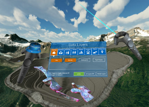
Maptek and LlamaZOO bring the mine to brilliant life

22nd August 2018

Maptek and LlamaZOO bring the mine to brilliant life

TomTom Reaches Mapping Milestone: 1.5bn Updates in a Single Month

21st August 2018

TomTom Reaches Mapping Milestone: 1.5bn Updates in a Single Month

MyCumulus 2.0 has been launched

20th August 2018

MyCumulus 2.0 has been launched
Microsoft launches Bing Maps Time Zone API (from import)

Microsoft launches Bing Maps Time Zone API

17th August 2018

Microsoft launches Bing Maps Time Zone API

Ordnance Survey underpins UK driverless car testing

16th August 2018

Ordnance Survey underpins UK driverless car testing
Free Healthcare Data for Use with Maptitude 2018 Mapping Software (from import)

Free Healthcare Data for Use with Maptitude 2018 Mapping Software

16th August 2018

Free Healthcare Data for Use with Maptitude 2018 Mapping Software
Eos, LaserTech and Esri Introduce Laser Mapping Workflow (from import)

Eos, LaserTech and Esri Introduce Laser Mapping Workflow

16th August 2018

Eos, LaserTech and Esri Introduce Laser Mapping Workflow