RegioGraph 2019 now available

28th March 2019

RegioGraph 2019 now available

Kaarta announces $6.5M in Series A Financing

25th March 2019

Kaarta announces $6.5M in Series A Financing
ABPmer maps the value of shipping (from import)

ABPmer maps the value of shipping

19th March 2019

ABPmer maps the value of shipping
Orbit GT releases SDK and QGIS Plugin v19.3 (from import)

Orbit GT releases SDK and QGIS Plugin v19.3

19th March 2019

Orbit GT releases SDK and QGIS Plugin v19.3

The country’s most detailed map of roads and footways unveiled

13th March 2019

The country’s most detailed map of roads and footways unveiled
Orbit GT releases version 19.3 of its 3D Mapping portfolio (from import)

Orbit GT releases version 19.3 of its 3D Mapping portfolio

13th March 2019

Orbit GT releases version 19.3 of its 3D Mapping portfolio

Berlin Airport Now Provides Mobile Wayfinding To Guide Travelers!

12th March 2019

Berlin Airport Now Provides Mobile Wayfinding To Guide Travelers!

Esri to participate in Buffalo Civic Innovation Eco Challenge

7th March 2019

Esri to participate in Buffalo Civic Innovation Eco Challenge

Cityworks Recognized for Exceptional Partnerships at Esri Partner Conference

5th March 2019

Cityworks Recognized for Exceptional Partnerships at Esri Partner Conference

Exceptional Achievement at Partner Conference

4th March 2019

Exceptional Achievement at Partner Conference

Esri acquires indoor.rs and releases ArcGIS Indoors

1st March 2019

Esri acquires indoor.rs and releases ArcGIS Indoors

Palatiello Promotes USGS 3DEP Before Congress

27th February 2019

Palatiello Promotes USGS 3DEP Before Congress
TCarta Wins Contract to Map Seafloor around Remote Pacific Island Nation (from import)

TCarta Wins Contract to Map Seafloor around Remote Pacific Island Nation

26th February 2019

TCarta Wins Contract to Map Seafloor around Remote Pacific Island Nation
Rightware and HERE reimagine the digital automotive user experience (from import)

Rightware and HERE reimagine the digital automotive user experience

26th February 2019

Rightware and HERE reimagine the digital automotive user experience

Global Mapper v.20.1 Now Available with Path Profile Zooming

26th February 2019

Global Mapper v.20.1 Now Available with Path Profile Zooming

HERE to offer mapping and location services for China
25th February 2019

HERE to offer mapping and location services for China
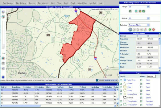
Selected for Maryland's Online Redistricting Mapping Portal (from import)

Selected for Maryland's Online Redistricting Mapping Portal

25th February 2019

Selected for Maryland's Online Redistricting Mapping Portal

Danish Geodata Agency Partners with Esri

22nd February 2019

Danish Geodata Agency Partners with Esri
New map from HERE Technologies shows quality of cell phone coverage (from import)

New map from HERE Technologies shows quality of cell phone coverage

20th February 2019

New map from HERE Technologies shows quality of cell phone coverage
Terra Drone Optimizes Long-Distance Power Line inspection (from import)

Terra Drone Optimizes Long-Distance Power Line inspection

15th February 2019

Terra Drone Optimizes Long-Distance Power Line inspection

HERE establishes groundbreaking AI research institute

15th February 2019

HERE establishes groundbreaking AI research institute
Bentley Systems Announces OpenUtilities™ Solutions for DER (from import)

Bentley Systems Announces OpenUtilities™ Solutions for DER

15th February 2019

Bentley Systems Announces OpenUtilities™ Solutions for DER
Navy-Sponsored Scientist Awarded for Sea-Floor Mapping (from import)

Navy-Sponsored Scientist Awarded for Sea-Floor Mapping

15th February 2019

Navy-Sponsored Scientist Awarded for Sea-Floor Mapping
New high-altitude platform to revolutionise the way we look at earth (from import)

New high-altitude platform to revolutionise the way we look at earth

13th February 2019

New high-altitude platform to revolutionise the way we look at earth
NavVis now uses SLAM to automatically remove point cloud artifacts (from import)

NavVis now uses SLAM to automatically remove point cloud artifacts

12th February 2019

NavVis now uses SLAM to automatically remove point cloud artifacts

Digital platform supported by IBM, Geovation and Ordnance Survey

31st January 2019

Digital platform supported by IBM, Geovation and Ordnance Survey

Ordnance Survey make map toolkit for developers

30th January 2019

Ordnance Survey make map toolkit for developers

Geovation Programme returns for 2019 to help start-ups break through

21st January 2019

Geovation Programme returns for 2019 to help start-ups break through
Fugro Uses Rapid Airborne Multibeam Mapping System (RAMMS) (from import)
Fugro Uses Rapid Airborne Multibeam Mapping System (RAMMS)

19th January 2019

Fugro Uses Rapid Airborne Multibeam Mapping System (RAMMS)

Esri Relaunches ArcGIS For Developers

16th January 2019

Esri Relaunches ArcGIS For Developers
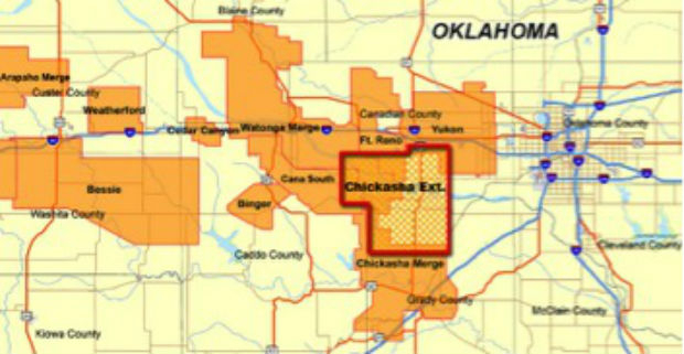
CGG Continues to Expand Anadarko Basin Library (from import)

CGG Continues to Expand Anadarko Basin Library

16th January 2019

CGG Continues to Expand Anadarko Basin Library

HERE secures top spot in Strategy Analytics' 2018

3rd January 2019

HERE secures top spot in Strategy Analytics' 2018

Motion Auto selects HERE Technologies' location platform

18th December 2018

Motion Auto selects HERE Technologies' location platform

AND signs important agreement with an OEM’s subsidiary

18th December 2018

AND signs important agreement with an OEM’s subsidiary
Gexcel presents the new HERON® Indoor Mobile Mapping System (from import)

Gexcel presents the new HERON® Indoor Mobile Mapping System

11th December 2018

Gexcel presents the new HERON® Indoor Mobile Mapping System

HERE and INRIX Form Partnership to Move Mobility Forward

7th December 2018

HERE and INRIX Form Partnership to Move Mobility Forward

MapTiler wins Airbus Challenge of the Copernicus Masters 2018

5th December 2018

MapTiler wins Airbus Challenge of the Copernicus Masters 2018

Boundless Awarded Certificate of Networthiness by U.S. Army

5th December 2018

Boundless Awarded Certificate of Networthiness by U.S. Army
Landmark Information Group announces senior leadership appointments (from import)

Landmark Information Group announces senior leadership appointments

4th December 2018

Landmark Information Group announces senior leadership appointments

HERE Technologies announces developer APIs on AWS Marketplace

27th November 2018

HERE Technologies announces developer APIs on AWS Marketplace
miso Releases OS Highways Network Translator to the OpenSource Community (from import)

miso Releases OS Highways Network Translator to the OpenSource Community

27th November 2018

miso Releases OS Highways Network Translator to the OpenSource Community
Getmapping appoints Geosolutions Consultant (from import)

Getmapping appoints Geosolutions Consultant

26th November 2018

Getmapping appoints Geosolutions Consultant
UK Hydrographic Office presents Guyana with marine geospatial data (from import)

UK Hydrographic Office presents Guyana with marine geospatial data

23rd November 2018

UK Hydrographic Office presents Guyana with marine geospatial data
HERE Technologies has joined OGC as a Principal Member (from import)

HERE Technologies has joined OGC as a Principal Member

22nd November 2018

HERE Technologies has joined OGC as a Principal Member
Getmapping Announces New European Management Team Structure (from import)

Getmapping Announces New European Management Team Structure

20th November 2018

Getmapping Announces New European Management Team Structure
Harrow Council Completes Highway Asset Surveys with Saber (from import)

Harrow Council Completes Highway Asset Surveys with Saber

20th November 2018

Harrow Council Completes Highway Asset Surveys with Saber

Telespazio and Thales Alenia Space announce an investment

16th November 2018

Telespazio and Thales Alenia Space announce an investment
Tencent selects HERE as global provider of map and places data (from import)

Tencent selects HERE as global provider of map and places data

15th November 2018

Tencent selects HERE as global provider of map and places data