Cloud Computing
Don't miss a beat, sign up to our newsletterFugro to support climate change research in the Caribbean
27th June 2019
Fugro to support climate change research in the CaribbeanGeospatial solutions company Getmapping announces its new partnership with Hexagon’s Geospatial divi
27th June 2019
Geospatial solutions company Getmapping announces its new partnership with Hexagon’s Geospatial diviMaptitude for Redistricting 2019 Now Available
13th June 2019
Maptitude for Redistricting 2019 Now Available
House Approves Additional $10M for Geospatial Mapping to Address Water Quality, Hazard Resilience
12th June 2019
House Approves Additional $10M for Geospatial Mapping to Address Water Quality, Hazard Resilience
Steve Blair to join Ordnance Survey as new Chief Executive
10th June 2019
Steve Blair to join Ordnance Survey as new Chief ExecutiveAerial Photographs Bring to Life Early Tax Maps of Cheshire
5th June 2019
Aerial Photographs Bring to Life Early Tax Maps of CheshireEnvitia Selected by US Army Geospatial Center
31st May 2019
Envitia Selected by US Army Geospatial CenterLearn More About Maptitude for Redistricting at the NCSL
31st May 2019
Learn More About Maptitude for Redistricting at the NCSL
HERE Technologies Joins the MuleSoft Technology Partner Program
29th May 2019
HERE Technologies Joins the MuleSoft Technology Partner ProgramCGG GeoSoftware Donates Geoscience Software Suite
29th May 2019
CGG GeoSoftware Donates Geoscience Software Suite
HERE Technologies joins the Uptane Alliance
28th May 2019
HERE Technologies joins the Uptane AllianceMapillary announces the world's first demand-driven marketplace for map data
22nd May 2019
Mapillary announces the world's first demand-driven marketplace for map dataGaist’s mapping solution could boost efficiency for utilities market
21st May 2019
Gaist’s mapping solution could boost efficiency for utilities marketFugro supports two ocean mapping initiatives
20th May 2019
Fugro supports two ocean mapping initiatives
Maptitude 2019 Adds Enhanced MapPoint and Streets & Trips Features
18th May 2019
Maptitude 2019 Adds Enhanced MapPoint and Streets & Trips FeaturesOrbit GT to exhibit and present at GeoBusiness, London, UK
17th May 2019
Orbit GT to exhibit and present at GeoBusiness, London, UKOrbit GT launches 3D Mapping portfolio v19.5 and QGIS plugin update.
17th May 2019
Orbit GT launches 3D Mapping portfolio v19.5 and QGIS plugin update.
Mitsubishi Electric and HERE develop road hazard alert system
15th May 2019
Mitsubishi Electric and HERE develop road hazard alert systemIQGeo launches ‘reality-centric’ geospatial platform
14th May 2019
IQGeo launches ‘reality-centric’ geospatial platform
AND appoints DDS as reseller of the AND Digital Maps
13th May 2019
AND appoints DDS as reseller of the AND Digital Maps2019 State Legislative District & Congressional District Boundaries
10th May 2019
2019 State Legislative District & Congressional District Boundaries
New digital maps available for Germany, Austria and Switzerland
10th May 2019
New digital maps available for Germany, Austria and SwitzerlandMaptitude Mapping Software Team Provides Awards & Prizes for 2019 AAG
8th May 2019
Maptitude Mapping Software Team Provides Awards & Prizes for 2019 AAG
HERE powers new serverless location-based functions
7th May 2019
HERE powers new serverless location-based functionsCaliper Offers 2019 Census Block Groups Data
7th May 2019
Caliper Offers 2019 Census Block Groups DataOrbit GT and TCract, France, sign Reseller Agreement
6th May 2019
Orbit GT and TCract, France, sign Reseller AgreementFree Highway Exits & Interchanges Data for Use with Maptitude 2019
1st May 2019
Free Highway Exits & Interchanges Data for Use with Maptitude 2019
Europa Technologies announces v2019.1 of premier global data products
30th April 2019
Europa Technologies announces v2019.1 of premier global data productsWhat’s behind the ground-breaking 3D habitat map of the Great Barrier Reef?
30th April 2019
What’s behind the ground-breaking 3D habitat map of the Great Barrier Reef?
Ordnance Survey and partners to create pilot map of the North East
29th April 2019
Ordnance Survey and partners to create pilot map of the North EastFour Ways Maptitude 2019 Saves You Time & Money
23rd April 2019
Four Ways Maptitude 2019 Saves You Time & Money
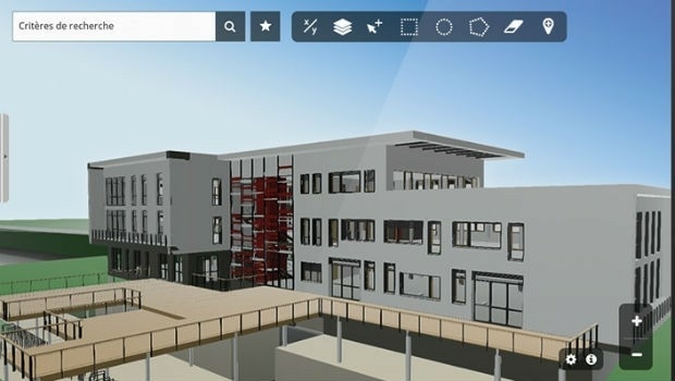
Innovation CARL Software presents its new solutions for operational BIM
23rd April 2019
Innovation CARL Software presents its new solutions for operational BIM
Start-ups to receive funding, business support and more
16th April 2019
Start-ups to receive funding, business support and moreEsri's Participation in Dubai's Future Cities Show 2019
13th April 2019
Esri's Participation in Dubai's Future Cities Show 2019

HERE launches XYZ: mapmaking and geospatial data management
10th April 2019
HERE launches XYZ: mapmaking and geospatial data management2010 Census Data and 2017 ACS Data for Use with Maptitude
5th April 2019
2010 Census Data and 2017 ACS Data for Use with Maptitude