
Tonga adopts what3words as national postal addressing system
3rd February 2017
Tonga adopts what3words as national postal addressing systemThe compilation, reproduction and dissemination of maps and charts by means of manual (analogue) or digital techniques, tools and workflows. This topic covers the compilation, reproduction, dissemination and use of both analogue (paper) and digital maps, charts and atlases. As well as the science of cartography, including georeferencing and geocoding, digital techniques for compiling and generating various types of raster and vector maps and charts are covered, as are the digital mapping tools and Geographic Information Systems available for this purpose. The application of cartography for aeronautical, terrestrial and marine purposes is also covered
3rd February 2017
Tonga adopts what3words as national postal addressing system

3rd February 2017
Latest Ocean Technology Showcasing at Ocean Business 20173rd February 2017
Seafloor Systems Introduces Its EchoBoat-G2 Survey Boat3rd February 2017
Digital Earth & Locate17 Showcases Geospatial‚s Enabling Role2nd February 2017
Get Started Working with Configurable Apps from Esri2nd February 2017
Rwanda forges forward in drone mapping use2nd February 2017
Oncor Upgrades to Hexagon Safety & Infrastructure’s GIS2nd February 2017
CartoPac Adds iOS Support to Mobile Asset Management Software Suite2nd February 2017
RGS-IBG and AGI announce strategic alliance2nd February 2017
Masternaut appoints Olivier Mansard as Vice President of Global Sales2nd February 2017
Leica Geosystems wins prestigious PRISM Award2nd February 2017
NAUSICAA, the French National Sea Centre - now re-open for 20172nd February 2017
Satcom for EU security missions in Mali, Niger and Somalia2nd February 2017
Enabling a breakthrough in hybrid underwater vehicles1st February 2017
Location Powers event scaling linked data to big data1st February 2017
Surrey Heath Council Explore the Versatility of the Arrow 100.1st February 2017
The 2nd generation Meteosat-8 satellite takes over Meteosat-71st February 2017
Quartix announces the appointments of two new directors1st February 2017
The Getech Group Brings Greater Insight to Myanmar’s Geology1st February 2017
AVANGRID Chooses Itron for Energy Smart Community in New York1st February 2017
East View Expands South China Sea Imaging Capabilities31st January 2017
Comprehensive Bathymetry and Marine Mapping Solutions31st January 2017
Popular Line of Miniature Inertial Sensors from SBG Systems
31st January 2017
Ordnance Survey International helps the UAE manage Climate Change31st January 2017
New Ordnance Survey Champion, Ben Fogle, urges nation to GetOutside31st January 2017
New supported devices, flight missions, and mission settings31st January 2017
A Case Study on Long-Term Erosion Mapping in Northeast England31st January 2017
Diamond Aircraft introduces new Garmin G1000 NXi Flight Deck31st January 2017
Esri Brings Operational Intelligence to 2017 DistribuTECH Conference
31st January 2017
ALGIZ RT7 ultra-rugged tablet now with Android 6.0 and 2 GB of RAM31st January 2017
Successful Ground Trials of Volcanic Ash Detection31st January 2017
Blue Marble Teams Up with Pointerra to Provide Cloud-Based LiDAR Data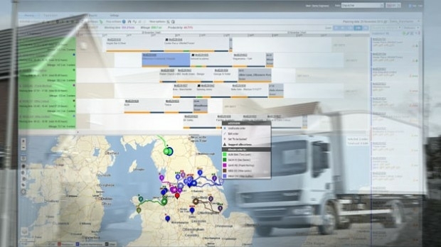
31st January 2017
WorldStores Maps Out Optimised Routes with Maxoptra30th January 2017
RIEGL’s Notable Week at Geospatial World Forum 2017!29th January 2017
Cyberbit to showcase hyper-realistic cybersecurity simulator
28th January 2017
LGA calls for lorry drivers to use commercial sat navs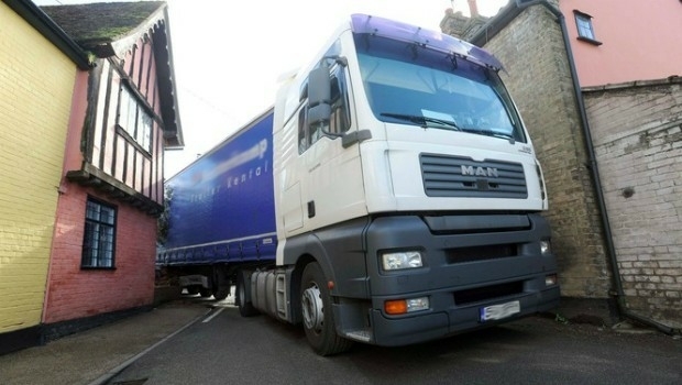
28th January 2017
Lorry drivers must use commercial satnavs, say councils28th January 2017
New High Performance Chirp Side Scan Sonar System27th January 2017
Virtual World Asset Management delivered to the Power Industry27th January 2017
Terra Drone establish new branch in Australia, Brisbane.27th January 2017
UNIFLY Winner of Best Emerging EU Drone Company27th January 2017
Announcing Shipping2030 Europe, co-located with Green Ship Technology26th January 2017
Requests for geocoding rising after Google changes pricing policy