_(002).jpg)
Intelligent Telematics Shortlisted for Insurance Industry Award
6th April 2017
Intelligent Telematics Shortlisted for Insurance Industry AwardThe compilation, reproduction and dissemination of maps and charts by means of manual (analogue) or digital techniques, tools and workflows. This topic covers the compilation, reproduction, dissemination and use of both analogue (paper) and digital maps, charts and atlases. As well as the science of cartography, including georeferencing and geocoding, digital techniques for compiling and generating various types of raster and vector maps and charts are covered, as are the digital mapping tools and Geographic Information Systems available for this purpose. The application of cartography for aeronautical, terrestrial and marine purposes is also covered
_(002).jpg)
6th April 2017
Intelligent Telematics Shortlisted for Insurance Industry Award
5th April 2017
Esri Announces 2017 Storytelling with Maps Contest5th April 2017
Avineon Announces Head Start Initiative for Esri Utility Network5th April 2017
OGC appoints Dr. Luis Bermudez to head OGC Innovation Program5th April 2017
Digpro is growing and appoints a new Marketing Manager4th April 2017
Cyient partners with Amdocs to deploy GE's GIS, Smallworld.jpg)
4th April 2017
ClearEdge3D Releases VerityTM Construction Verification Software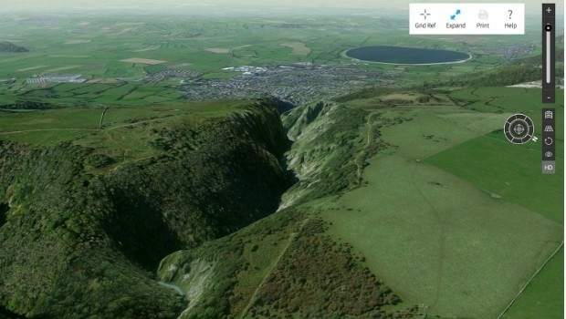
3rd April 2017
Explore Great Britain with OS’s ultimate adventure planning tool3rd April 2017
TCarta Marine to Introduce Gulf of Mexico Streaming Basemap Service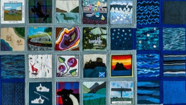
3rd April 2017
Crafty Ordnance Survey has Britain sewn up.jpg)
3rd April 2017
Airbus and SITA Join Forces to provide Advanced Cybersecurity Services2nd April 2017
Blue Marble Adds Flat Earth Support to Geographic Calculator.jpg)
2nd April 2017
Airbus-built satellite SES-10 successfully launched
2nd April 2017
Earth-i Ready to Develop the Australian Earth Observation Marketplace2nd April 2017
National Geospatial-Intelligence Agency Selects Esri_across_Leeds_at_Lower_Super_Output_Area_together_with_the.jpg)
2nd April 2017
Understanding local populations between censuses in Leeds31st March 2017
Solent Mind's training room receives a makeover
30th March 2017
Leica Geosystems opens nominations for Carl Pulfrich Award 201730th March 2017
PTV Drive&Arrive Arrival Board receives the Logistics Innovation Award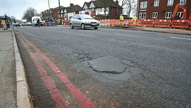
30th March 2017
Authorities will struggle to solve the pothole problem30th March 2017
CGG GeoConsulting Awarded Multi-Year Integrated Geoscience Study30th March 2017
RoboBusiness Europe and TUS Expo, 19-21 April 201729th March 2017
Garmin® introduces the G5 electronic flight instrument
29th March 2017
OGC requests public comment on proposed GeoRSS Community Standard29th March 2017
Surrey Police and Sussex Police harness mobile technology29th March 2017
INTERPOL World 2017 builds up momentum with strong support29th March 2017
Trimble Incorporates Galileo Support in New Version of GNSS Software27th March 2017
PrecisionPoint Hires sUAS Pilot to Enhance 3D Reality Capture Services.jpg)
27th March 2017
Lovell Johns, wins new GIS contract with European Commission27th March 2017
Charter rate reduction of CGG’s operated fleet:24th March 2017
Challenging the Zeitgeist of Digital:: WSA-mobile Winners Announcement
24th March 2017
Every Emerging Technology. One Digital Transformation Journey24th March 2017
OceanWise to host Marine Data Management & GIS Workshop in Edinburgh24th March 2017
Driver App to Improve Driver Behavior and Save Additional Costs
24th March 2017
5 Valuable Lessons Learned About Drones in Construction23rd March 2017
TCarta Marine, DHI and DigitalGlobe to Unveil Bathymetric Data Portal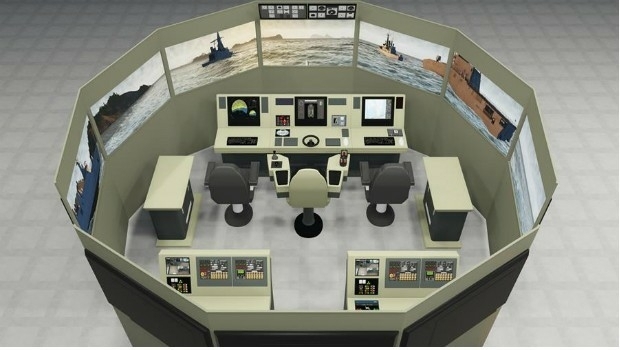
23rd March 2017
VSTEP and Damen sign cooperation agreement23rd March 2017
Stand and Deliver! Could parcel drones trigger the Highwayman's return