
Skyline Software Systems Releases Photomesh 7.2
8th August 2017
Skyline Software Systems Releases Photomesh 7.2The compilation, reproduction and dissemination of maps and charts by means of manual (analogue) or digital techniques, tools and workflows. This topic covers the compilation, reproduction, dissemination and use of both analogue (paper) and digital maps, charts and atlases. As well as the science of cartography, including georeferencing and geocoding, digital techniques for compiling and generating various types of raster and vector maps and charts are covered, as are the digital mapping tools and Geographic Information Systems available for this purpose. The application of cartography for aeronautical, terrestrial and marine purposes is also covered
8th August 2017
Skyline Software Systems Releases Photomesh 7.2
8th August 2017
TCarta Marine Changes the Way Dynamic Environments are Managed
8th August 2017
Survey Highlights Councils’ Need to Encourage Online Reporting8th August 2017
Taboola increases accuracy of mobile and desktop geolocation services
8th August 2017
Shingle B: the online tool helping protect and monitor shingle beaches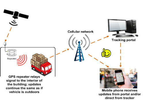
8th August 2017
GPS repeater technology ensures end-to-end visibility of cargo

8th August 2017
Route Execution with Visibility of Sub-Contracted Vehicles Enhanced7th August 2017
Oracle makes transportation more efficient with HERE7th August 2017
Participate in a Simulated Exercise at the Disaster Risk Reduction

7th August 2017
Orbit GT and ViaTech, Norway, sign Reseller Agreement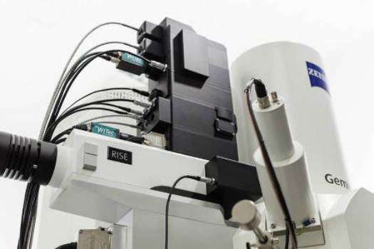
7th August 2017
WITec's RISE Microscopy Now Available with ZEISS Sigma 300 SEM7th August 2017
CGG Launches Gippsland ReGeneration reprocessing project in Australia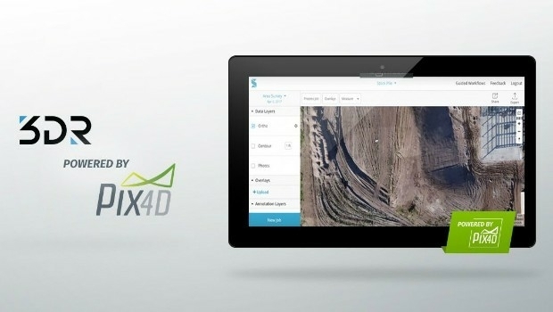
4th August 2017
3DR Site Scan processing now powered by Pix4D4th August 2017
AutoPIPE CONNECT Edition Now Includes ASME B31J at No Additional Cost
3rd August 2017
Efficient Management of Large Process Facilities
3rd August 2017
HR Wallingford and G-tec to provide underwater acoustic services3rd August 2017
Global Marketing Insights at “Small Satellites Big Data Conference”
3rd August 2017
Are motorway canopies a worthwhile expense?3rd August 2017
Geovation start-up partners with insurance giant3rd August 2017
Skills gap could delay IoT innovation in the energy sector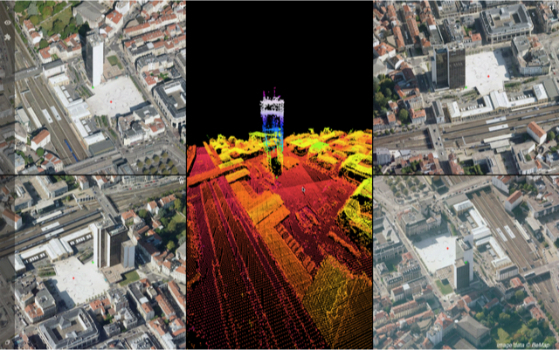
3rd August 2017
Orbit GT updates 3D Mapping Cloud with Oblique Imagery Support
3rd August 2017
Speakers to Highlight the 2017 National GIS in Transit Conference
2nd August 2017
Sharing Data with the Support for Cloud Storage in SuperPad 102nd August 2017
Skyline Software Systems Releases Skylineglobe Server V7.02nd August 2017
TrackR Closes $50m in Series B Funding led by Revolution Growth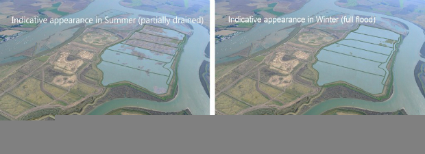
2nd August 2017
Unique designs on Wallasea Island have been approved
2nd August 2017
Astun Technology Announces Open Source Training Course Schedule2nd August 2017
Smarter building technlogy may help prompt construction sector growth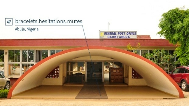
2nd August 2017
Nigeria, Africa’s largest economy, adopts 3 word addresses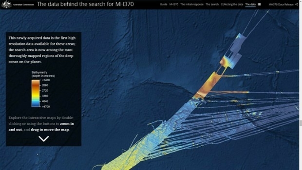
2nd August 2017
The data behind the search for MH370: Phase One data released2nd August 2017
Fugro’s Integrated Capabilities Clinch Further Work For Sirius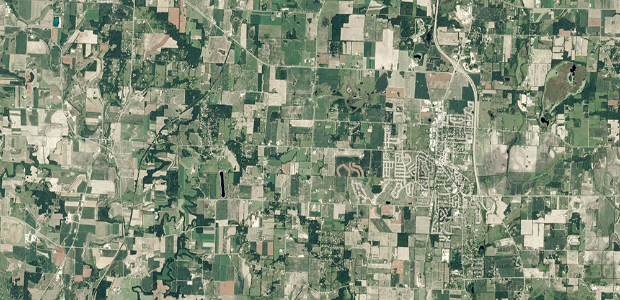
2nd August 2017
GAF AG Signs Distribution Partnership with Planet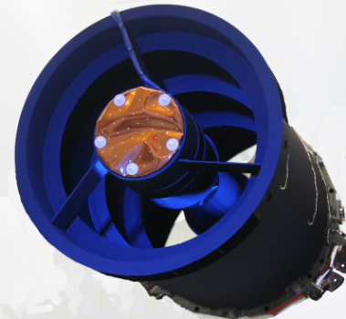
2nd August 2017
Elbit Space Imaging Systems, JUPITER and VENµS Were Launched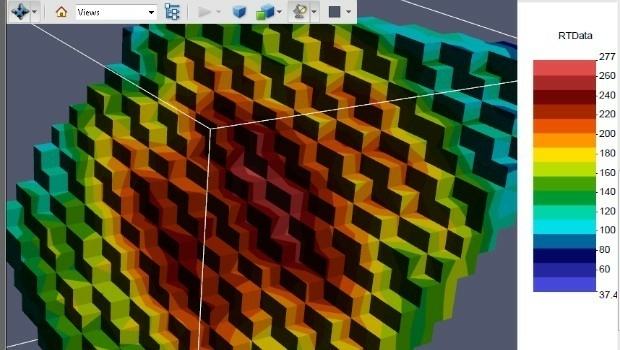
1st August 2017
PDF3D Release PV+ 5.4 Visualization & Publishing Update
1st August 2017
3D Repo Appoints Carmen Fan as Chief Technology Officer1st August 2017
Geovation Programme now open to location and land disruptors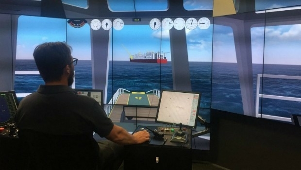
1st August 2017
Manoeuvring the largest offshore floating facility ever built
31st July 2017
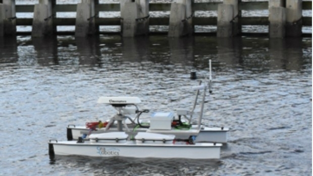
SeaRobotics Wins Contract for Autonomous Hydrographic Survey Vehicles31st July 2017
Skyline Software Systems Releases Terraexplorer for Web V7.0
31st July 2017
Okeanus Science & Technology Acquires DT Marine Products

29th July 2017
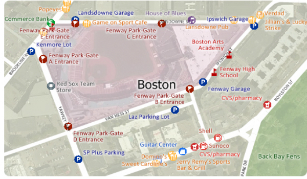
Free Point of Interest Data by Type for Use with Maptitude