
senseFly to launch industry-specific solutions at INTERGEO 2017
21st September 2017
senseFly to launch industry-specific solutions at INTERGEO 2017The compilation, reproduction and dissemination of maps and charts by means of manual (analogue) or digital techniques, tools and workflows. This topic covers the compilation, reproduction, dissemination and use of both analogue (paper) and digital maps, charts and atlases. As well as the science of cartography, including georeferencing and geocoding, digital techniques for compiling and generating various types of raster and vector maps and charts are covered, as are the digital mapping tools and Geographic Information Systems available for this purpose. The application of cartography for aeronautical, terrestrial and marine purposes is also covered

21st September 2017
senseFly to launch industry-specific solutions at INTERGEO 201721st September 2017
LizardTech Awarded U.S. Patent for LiDAR Point Cloud Compression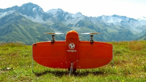
21st September 2017
Wingtra partners with Kentucky-based Precision Capture21st September 2017
Three Swedish neighbouring municipalities choose Digpro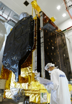
21st September 2017
Airbus ships EchoStar 105/SES-11 telecom satellite to launch base21st September 2017
Juniper Systems Limited Eyes German Market with InterGeo 2017 Exhibit20th September 2017
Presentations at Airborne ISR Conference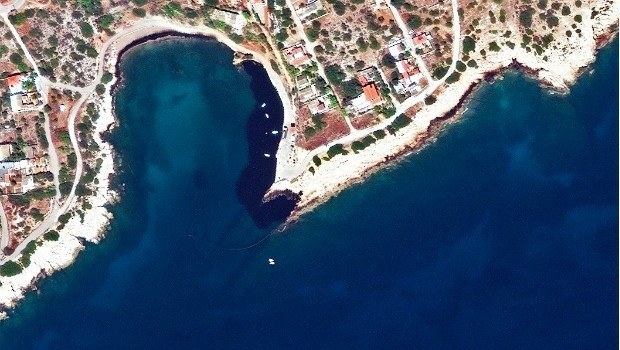

20th September 2017
River Thames simulation supports safer navigation for Tideway20th September 2017
Phase One Industrial Introduces 190MP Aerial System19th September 2017
GeoCue Group Provides Free Lidar Data For Hurricane Impact Areas
19th September 2017
Esri Podcast Series Explores How Location Technology Helps Businesses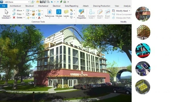
19th September 2017
Bentley’s AECOsim Building Designer CONNECT Edition18th September 2017
Northern Ireland’s SMEs look to Space for new business opportunities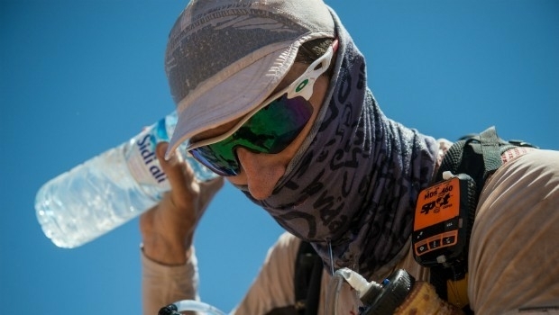
18th September 2017
Marathon Des Sables to use SPOT Gen3 for new events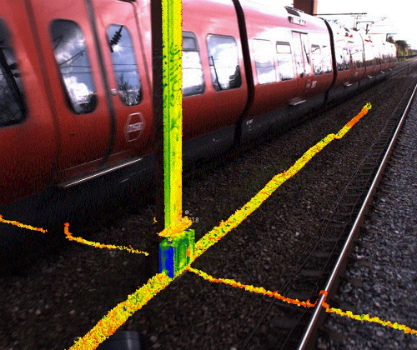
18th September 2017
ENA’s Open Networks will be hosting a free webinar on September 21
18th September 2017
Renishaw chief to receive award from the University of Huddersfield17th September 2017
Hamburg and HERE to partner on intelligent mobility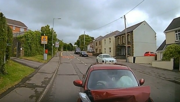
16th September 2017
3G Vehicle Cameras Prove Liability and Defend Against Claims
16th September 2017
Esri to Present at TechCrunch Disrupt SF 2017
16th September 2017
Maptitude Supports High School Course in Geographic Technology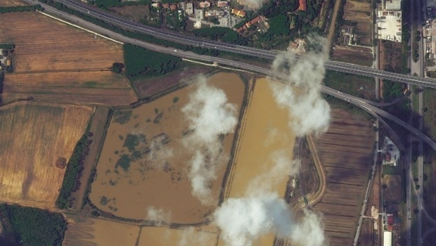
15th September 2017
Italy: Satellite Images of Flooding in Livorno15th September 2017
Unmanned Systems industry leaders are gathering in Odense
15th September 2017
7th International Conference on Cartography & GIS15th September 2017
Second Annual PrecisionAg® Vision Conference
15th September 2017
RENEXPO® BiH 2017 open the doors for the 4th time.
15th September 2017
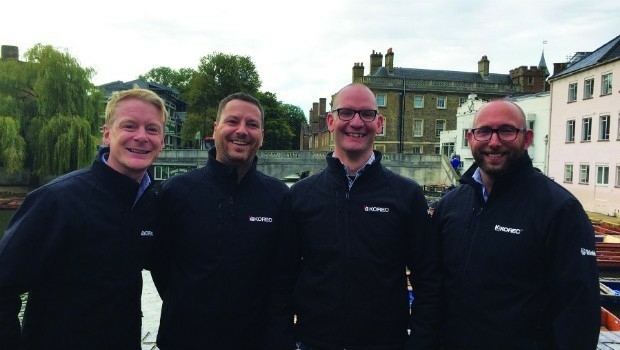
KOREC expansion strengthens its commitment to customer service
15th September 2017
RENEXPO® INTERHYDRO Europe’s #1 Hub for Hydropower
15th September 2017
VolkerWessels to Use Yotta’s Horizons on Dutch Infrastructure Project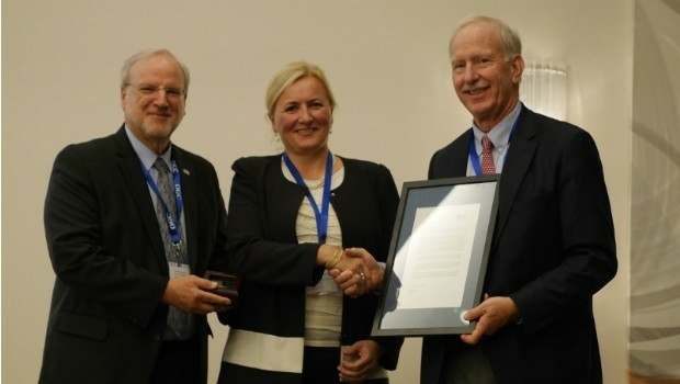
14th September 2017
Marie-Françoise Voidrot receives OGC’s Gardels Award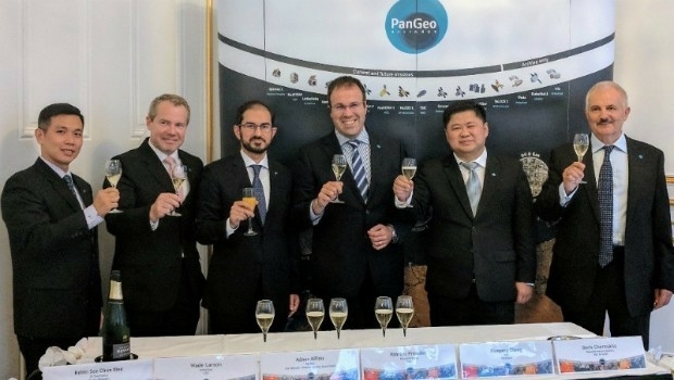
14th September 2017
The PanGeo Alliance welcomes a new member
14th September 2017
Elbit Systems and Lockheed Martin to Partner for the Royal Navy14th September 2017
Dstl to develop Active Protection System technology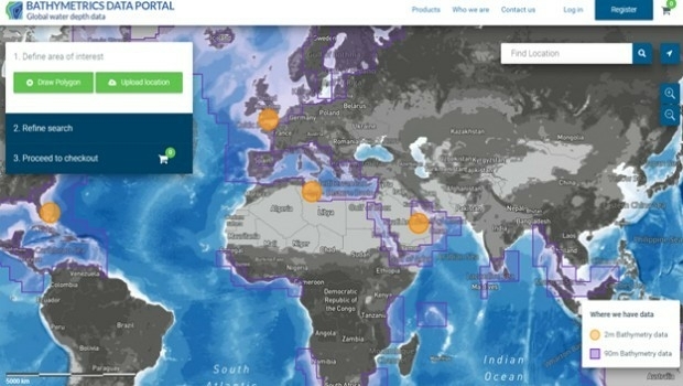
14th September 2017
New Bathymetrics Data Portal delivers quality water depth data online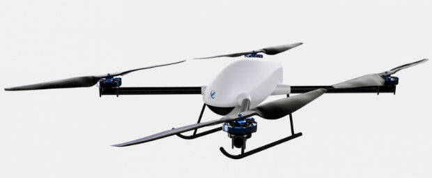
14th September 2017
Skyfront Sets World Record for Drones with 4 hour and 34 minute flight13th September 2017
PCI Geomatics Releases Geomatica 2017, Service Pack 112th September 2017
New iPhone indoor Maps spells an innovation opportunity for retailers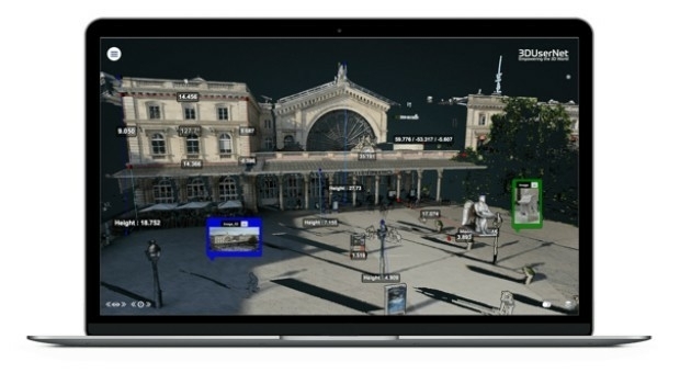
12th September 2017
Shaping a New 3D World with Portal for Point Clouds and 3D Models
12th September 2017
New counter-drone system unveiled at DSEI 2017
12th September 2017
Carl Pulfrich Award 2017 goes to Prof. Dr. Franz Rottensteiner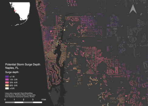
12th September 2017
Brainnwave Makes Data Available to Support Disaster Relief_Airbus_DS.jpg)
12th September 2017
Airbus to reshape Earth observation market
12th September 2017
Elbit Systems and CAE Team to Pursue UK Defence Training Capability