Leica BLK360 software integration announcement
22nd May 2019
Leica BLK360 software integration announcementThe compilation, reproduction and dissemination of maps and charts by means of manual (analogue) or digital techniques, tools and workflows. This topic covers the compilation, reproduction, dissemination and use of both analogue (paper) and digital maps, charts and atlases. As well as the science of cartography, including georeferencing and geocoding, digital techniques for compiling and generating various types of raster and vector maps and charts are covered, as are the digital mapping tools and Geographic Information Systems available for this purpose. The application of cartography for aeronautical, terrestrial and marine purposes is also covered
22nd May 2019
Leica BLK360 software integration announcement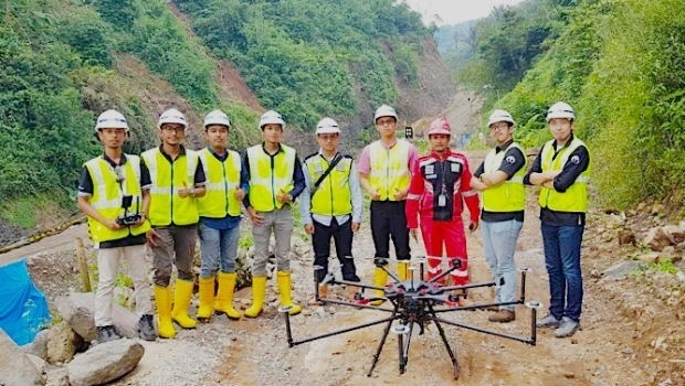
22nd May 2019
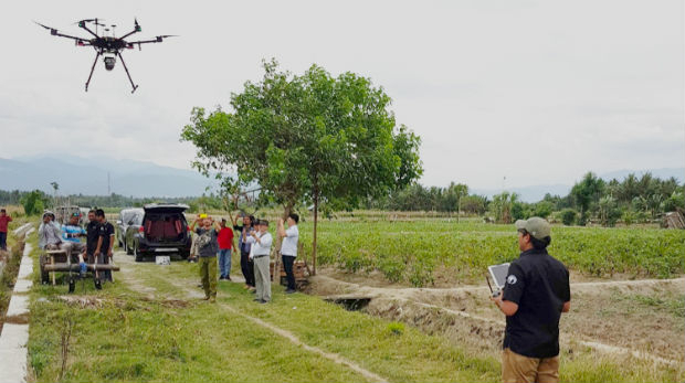
Terra Drone Indonesia shows construction companies benefits
22nd May 2019
Mapillary announces the world's first demand-driven marketplace for map data
21st May 2019
Trimble Releases Next-Generation Integrated Smartphone and GIS Data Collector

21st May 2019
public comment on major revision to OGC Abstract SpecificationTopic 021st May 2019
Space Flight Laboratory to Highlight ‘Gray Jay’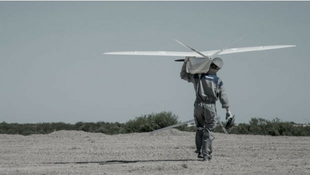
21st May 2019
New Open Payload version of Delair DT26 UAV allows custom configuration_enabling_tru.jpg)
21st May 2019
Introducing Multipurpose Autonomous sub-surface Training Target21st May 2019
Airbus signs MOU with Hellenic Space Agency for future space cooperation
21st May 2019
Gaist’s mapping solution could boost efficiency for utilities market
21st May 2019
Sonardyne acquires maritime survey software and construction specialist EIVA
20th May 2019
Hemisphere GNSS Announces All-New OEM Positioning & Heading Boards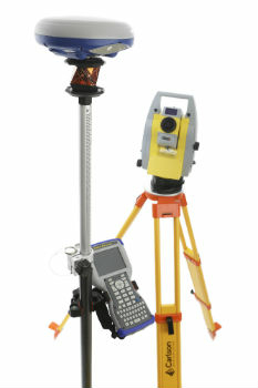
20th May 2019
Carlson NR3: New compact, lightweight GNSS Receiver20th May 2019
AEC Next and SPAR 3D Expo & Conference Gets Underway Tomorrow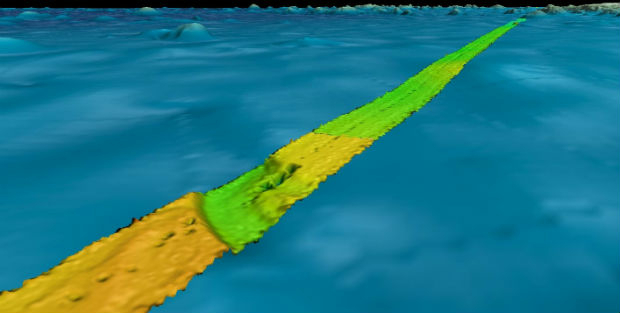
20th May 2019
Fugro supports two ocean mapping initiatives20th May 2019
Topcon accepts John Deere Supplier Innovation Award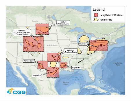

20th May 2019
Spectra Group to exhibit at the SOFIC exhibition in Tampa Florida.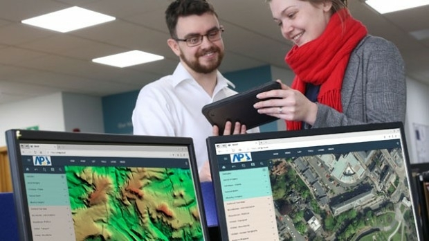
20th May 2019
Bluesky and Getmapping Embrace XMAP for UK Government
20th May 2019
ERM Advanced Telematics Enters the Rapidly Expanding Electric Vehicle Market

19th May 2019
Get Kids Into Survey comes to GEO Business 2019
18th May 2019
Maptitude 2019 Adds Enhanced MapPoint and Streets & Trips Features
17th May 2019
Orbit GT to exhibit and present at GeoBusiness, London, UK17th May 2019
Participation Invited on GIS Management Practices Survey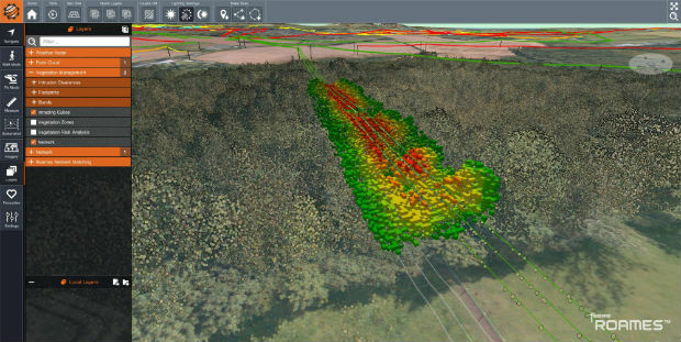
17th May 2019
Western Distribution selects Fugro to unlock value from airborne survey data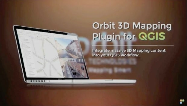
17th May 2019
Orbit GT launches 3D Mapping portfolio v19.5 and QGIS plugin update.
16th May 2019
SITECO's System for the Emilia Romagna Railways Inspection16th May 2019
Elsevier supports the American Association of Petroleum Geologists’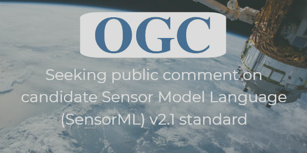
16th May 2019
OGC seeks public comment on candidate Sensor Model Language (SensorML) v2.1 standard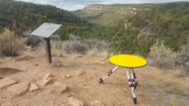
16th May 2019
Routescene's improved approach to quantifying accuracy
16th May 2019
1Spatial acquire GEOMAP-IMAGIS and conclude simultaneous agreement with Esri
16th May 2019
360-degree camera provides ground-based imaging following weather disasters
16th May 2019
Terra Drone India and Vignan University set up drone lab
15th May 2019
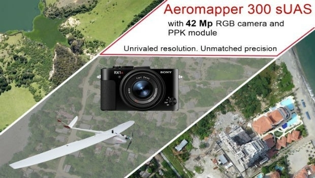
AEROMAPPER 300 & 42Mp camera with PPK bundle
15th May 2019
Jesse Norman MP conveyed need for high quality data for transport
15th May 2019
Mitsubishi Electric and HERE develop road hazard alert system
15th May 2019
Geodata – the currency of the future centre stage at INTERGEO 2019
15th May 2019
Putting a revolutionary new offshore wind foundation to the test