Cartography
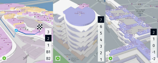
The compilation, reproduction and dissemination of maps and charts by means of manual (analogue) or digital techniques, tools and workflows. This topic covers the compilation, reproduction, dissemination and use of both analogue (paper) and digital maps, charts and atlases. As well as the science of cartography, including georeferencing and geocoding, digital techniques for compiling and generating various types of raster and vector maps and charts are covered, as are the digital mapping tools and Geographic Information Systems available for this purpose. The application of cartography for aeronautical, terrestrial and marine purposes is also covered

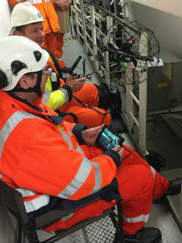
RIMS receiving class approval from Lloyd’s Register
11th January 2018
RIMS receiving class approval from Lloyd’s Register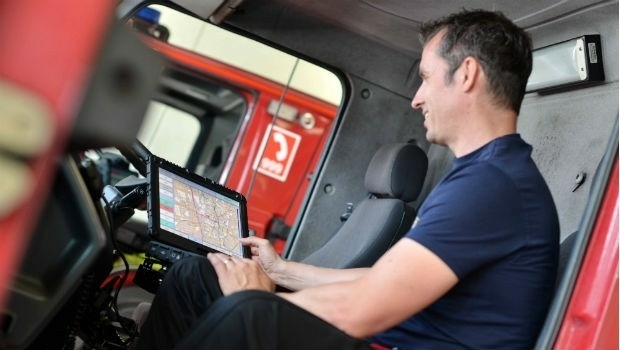
Leaders in digital transformation solutions sponsor Control Room Awards
11th January 2018
Leaders in digital transformation solutions sponsor Control Room Awards

Avenza Map Store Now Offers More Than 36,000 Maps
11th January 2018
Avenza Map Store Now Offers More Than 36,000 Maps
CSA Ocean Sciences Expands Trinidad and Tobago Operations
11th January 2018
CSA Ocean Sciences Expands Trinidad and Tobago Operations
OGC Announces Disasters Interoperability Concept Development Study
11th January 2018
OGC Announces Disasters Interoperability Concept Development Study
IEEE/ION PLANS 2018: Registration and Kershner Award Nominations
11th January 2018
IEEE/ION PLANS 2018: Registration and Kershner Award Nominations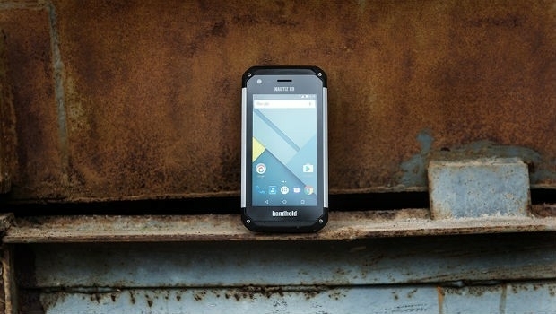
Handheld launches the NAUTIZ X9 outdoor-rugged Android PDA
10th January 2018
Handheld launches the NAUTIZ X9 outdoor-rugged Android PDA
SK Telecom and HERE to partner on location services
10th January 2018
SK Telecom and HERE to partner on location services
GSI Certified by the Women’s Business Enterprise National Council
10th January 2018
GSI Certified by the Women’s Business Enterprise National Council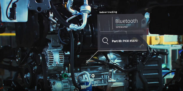

Dassault Systèmes Announces Global Entrepreneur Program
10th January 2018
Dassault Systèmes Announces Global Entrepreneur Program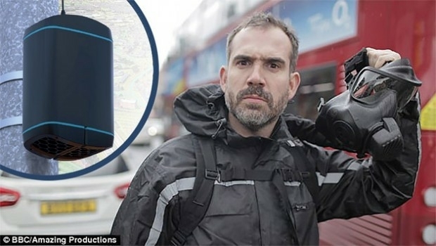
EarthSense Sensors Evidence Clean Air Initiatives for BBC
10th January 2018
EarthSense Sensors Evidence Clean Air Initiatives for BBC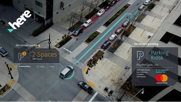
Mastercard and HERE Power Ride Towards a More Connected World
9th January 2018
Mastercard and HERE Power Ride Towards a More Connected World
NAUSICAA will become one of the World's largest aquariums
9th January 2018
NAUSICAA will become one of the World's largest aquariums
James Frew Targets Continued Fleet Improvement With Ctrack
9th January 2018
James Frew Targets Continued Fleet Improvement With Ctrack
Developing Data Ecosystems with the 1Spatial FME World Tour
9th January 2018
Developing Data Ecosystems with the 1Spatial FME World Tour
Future of Driving with New Technologies and Partnerships Accelerated
9th January 2018
Future of Driving with New Technologies and Partnerships AcceleratedVirgin Hyperloop passenger app powered by HERE Technologies
9th January 2018
Virgin Hyperloop passenger app powered by HERE Technologies
Novara GeoSolutions Unveils a New Website
9th January 2018
Novara GeoSolutions Unveils a New Website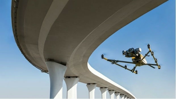
Texo DSI First To Use Topcon Falcon 8+ UAV System In The UK
9th January 2018
Texo DSI First To Use Topcon Falcon 8+ UAV System In The UKBYTON electric intelligent SUV makes global debut at CES
9th January 2018
BYTON electric intelligent SUV makes global debut at CES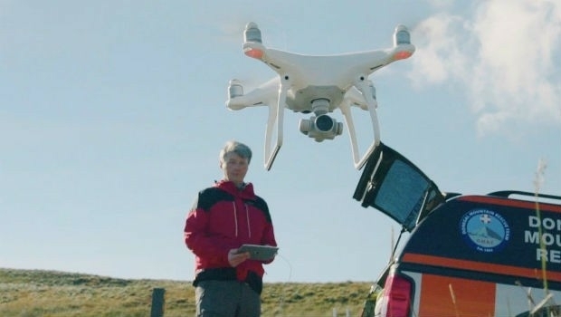

EPAM and HERE Technologies partner to accelerate IoT Tracking solutions
5th January 2018
EPAM and HERE Technologies partner to accelerate IoT Tracking solutions

HERE and Unifly to map the airspace for drones
5th January 2018
HERE and Unifly to map the airspace for drones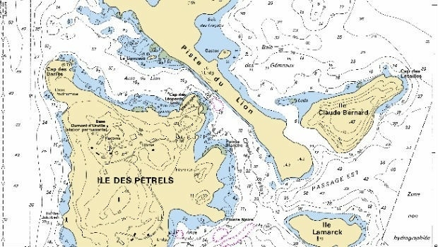

2G Delivers Laser Scanning System to Kongsberg
5th January 2018
2G Delivers Laser Scanning System to Kongsberg
9th IGRSM International Conference and Exhibition
5th January 2018
9th IGRSM International Conference and Exhibition
Avenza Releases Geographic Imager 5.3 for Adobe Photoshop
5th January 2018
Avenza Releases Geographic Imager 5.3 for Adobe Photoshop
Kara Utter Named URISA Young Professional of the Year
5th January 2018
Kara Utter Named URISA Young Professional of the Year
TrafficLand Teams with Weather Telematics
5th January 2018
TrafficLand Teams with Weather Telematics
Yotta strengthens marketing function to accelerate global growth
4th January 2018
Yotta strengthens marketing function to accelerate global growth
Continental to Acquire 5 Percent Stake in HERE
4th January 2018
Continental to Acquire 5 Percent Stake in HERE

Free Webinar Assuring Critical Indoor Communications for Public Safety
4th January 2018
Free Webinar Assuring Critical Indoor Communications for Public Safety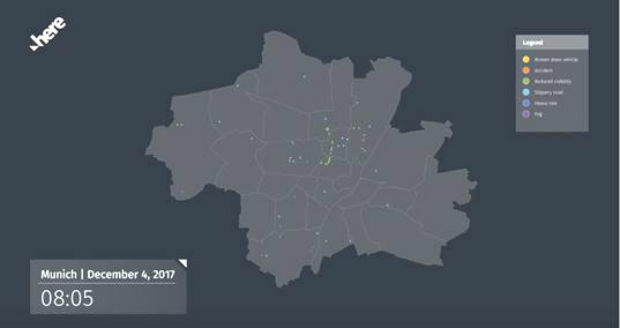
HERE to deliver BMW drivers safety services
4th January 2018
HERE to deliver BMW drivers safety servicesMaxar Technologies appoints Mike Greenley as Group President of MDA
4th January 2018
Maxar Technologies appoints Mike Greenley as Group President of MDA
Garmin begins shipment of the GFC 500 autopilot
4th January 2018
Garmin begins shipment of the GFC 500 autopilot
OGC Invitation to Tender for Testbed 14 Thematic Exploitation Platform
2nd January 2018
OGC Invitation to Tender for Testbed 14 Thematic Exploitation Platform
Fugro Wins Environmental Leadership Award
2nd January 2018
Fugro Wins Environmental Leadership Award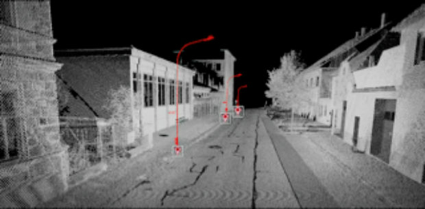
Orbit GT showcases Automated Pole and Bridge Clearance Detection
2nd January 2018
Orbit GT showcases Automated Pole and Bridge Clearance Detection
LG Electronics and HERE Technologies partner on autonomous cars
30th December 2017
LG Electronics and HERE Technologies partner on autonomous cars
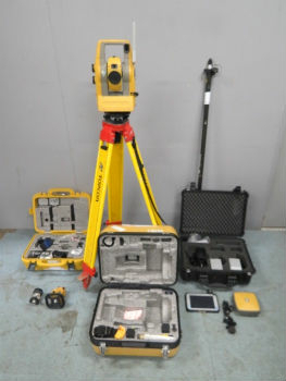
Online auction of surveying equipment FACTO GEO.
23rd December 2017
Online auction of surveying equipment FACTO GEO.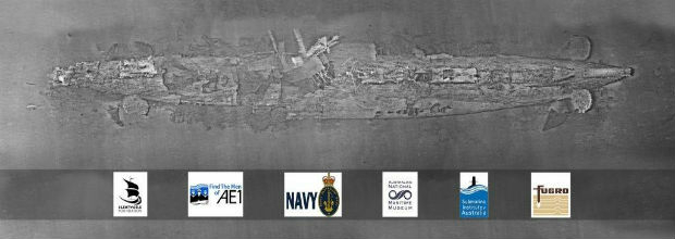
Fugro’s Data Brings Successful Close To The Search For Lost Sub AE1
22nd December 2017
Fugro’s Data Brings Successful Close To The Search For Lost Sub AE1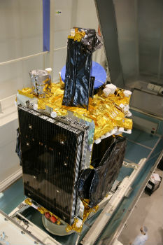
Airbus ships high-power electric SES-14 satellite to Kourou
22nd December 2017
Airbus ships high-power electric SES-14 satellite to Kourou