TDI-Brooks International, Inc. hires Mrs. Jayme McBee
17th July 2019
TDI-Brooks International, Inc. hires Mrs. Jayme McBeeThe compilation, reproduction and dissemination of maps and charts by means of manual (analogue) or digital techniques, tools and workflows. This topic covers the compilation, reproduction, dissemination and use of both analogue (paper) and digital maps, charts and atlases. As well as the science of cartography, including georeferencing and geocoding, digital techniques for compiling and generating various types of raster and vector maps and charts are covered, as are the digital mapping tools and Geographic Information Systems available for this purpose. The application of cartography for aeronautical, terrestrial and marine purposes is also covered
17th July 2019
TDI-Brooks International, Inc. hires Mrs. Jayme McBee
15th July 2019
RIEGL Invests in New Office and Production Facilities!
15th July 2019
Europa Technologies strikes gold with two awards at Esri User Conference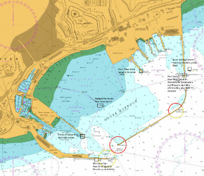
15th July 2019
Goonhilly opens new data centre with green HPC platform for AI and ML
13th July 2019
GSSI Receives Presidential Award for Exports
12th July 2019
Fugro performs first North Sea remote heading control operation
12th July 2019
high performance UX11 & UX11 Ag surveying and mapping drones1.jpg)
11th July 2019
Ecometrica Manager wins BusinessGreen Leaders Award
11th July 2019
ATrack Announces Launch of New AK7V Device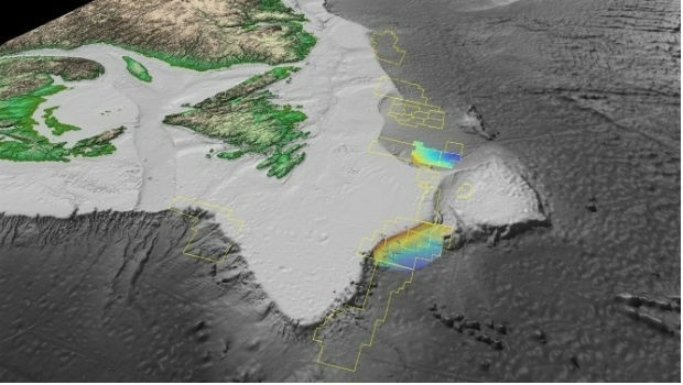
11th July 2019
Fugro succeeds with new seep survey license sales offshore Newfoundland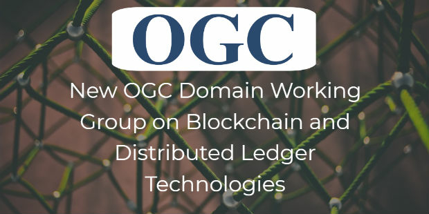
11th July 2019
OGC announces the creation of a new Domain Working Group11th July 2019
Save the Date ! Webinar July 18 at 6 PM CET
11th July 2019
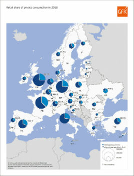
Retail share of private consumption, Europe 2018
11th July 2019
CTRACK HELPS PROTECT NORFOLK’S OLDEST WORKING MOTOR CAR
11th July 2019
CTRACK HELPS PROTECT NORFOLK’S OLDEST WORKING MOTOR CAR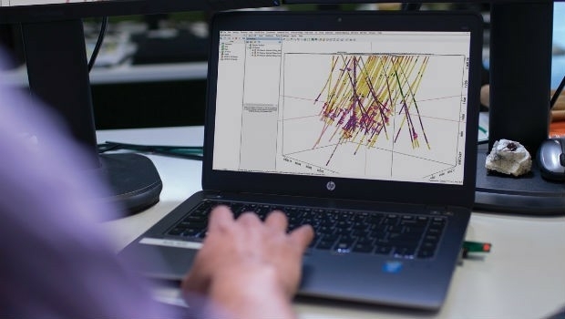
11th July 2019
Seequent continues investment in innovative geoscience technology
10th July 2019
Trimble announces new usage-based plans for Trimble Catalyst
10th July 2019
Cesium launches with $5 million investment9th July 2019
Ordnance Survey creates ‘win-win’ for construction and geospatial industries
9th July 2019
New CARIS HPD 4.0 release will advance existing capabilities
8th July 2019
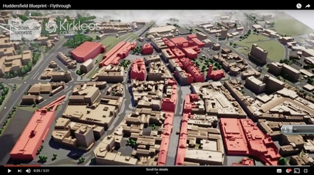
Bluesky 3D Model Helps AECOM Create Blueprint for Yorkshire Town Redevelopment-Airbus-2019.jpg)
8th July 2019
Airbus to develop CO3D Earth Observation programme for CNES
8th July 2019
Virtual Surveyor Enhances LiDAR Point Cloud Handling8th July 2019
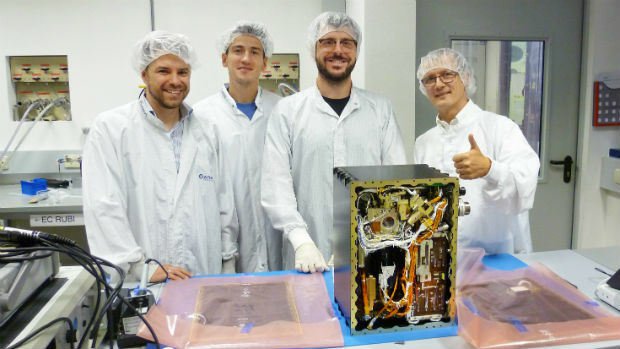
Second Lockheed Martin-Built GPS III Satellite Ready for July 25 Liftoff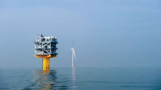
8th July 2019
Fugro and SLPE to present case study at Offshore Foundations Conference, Bremen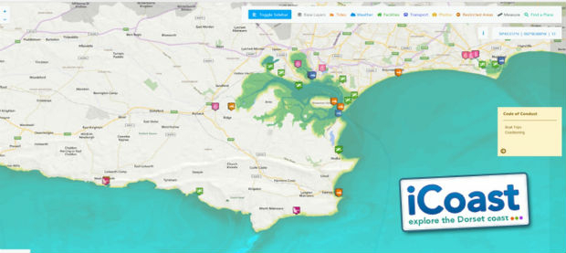
8th July 2019
OceanWise technical expertise boosts iCoast re-launch
6th July 2019
Barry Wellar, C.M., GISP Announced as Closing Speaker5th July 2019
Telangana seeks to become first ‘BVLOS Compliant’ state in India5th July 2019
Telangana seeks to become first ‘BVLOS Compliant’ state in India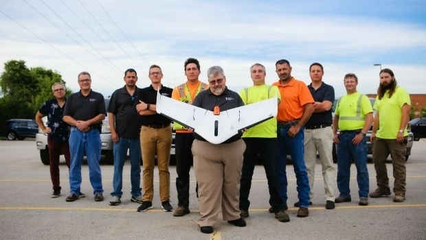
5th July 2019
Weaver Consulting adopts Delair UX11 UAV for large scale surveying, mapping4th July 2019
NSGIC announces keynote speaker Meagan Wolfe4th July 2019
New in G-Cloud 11 - Data Vault from Europa Technologies
3rd July 2019
Terra Drone invests in Dutch robotics company RoNik

3rd July 2019
Cadcorp introduces Spatial Database Service in G-Cloud 11