Be our guest at the infrastructure industry event of the year.
30th August 2018
Be our guest at the infrastructure industry event of the year.The compilation, reproduction and dissemination of maps and charts by means of manual (analogue) or digital techniques, tools and workflows. This topic covers the compilation, reproduction, dissemination and use of both analogue (paper) and digital maps, charts and atlases. As well as the science of cartography, including georeferencing and geocoding, digital techniques for compiling and generating various types of raster and vector maps and charts are covered, as are the digital mapping tools and Geographic Information Systems available for this purpose. The application of cartography for aeronautical, terrestrial and marine purposes is also covered
30th August 2018
Be our guest at the infrastructure industry event of the year.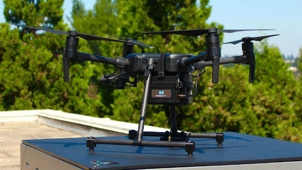
29th August 2018
WiBotic Announces a Wireless Power System for DJI Matrice 200 Series Drones29th August 2018
Answers to the questions on the new general aviation regulation
29th August 2018
ClassNK adds to RIMS portfolio of class approvals29th August 2018
2018 EuroSDR Award for the best PhD thesis related to geoinformation science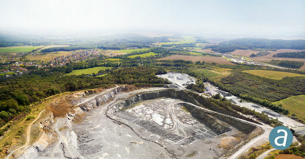
28th August 2018
SimActive for Mining: Drones & Volume Calculation28th August 2018
Fugro Acquires Data In Frontier Region Seep Hunting Programme28th August 2018
Commercial UAV Expo Is Hosting “Beyond The Cage” Demonstrations28th August 2018
The Regulatory Compliance & Integrity Management Department Expanded28th August 2018
Laser Technology, Inc. Announces a New TruPulse 360 Laser Rangefinder28th August 2018
URISA's GISCorps Announces Community Maps
28th August 2018
NUAIR Alliance Announces Partnership with Unifly28th August 2018
Airbus to provide new NATO Public Key Infrastructure28th August 2018
Siemens and Bentley partner in new digital solution28th August 2018
Siemens and Bentley Systems strengthen their strategic alliance28th August 2018
PCI Geomatics signs Strategic Education Alliance Agreement28th August 2018
U.S. Air Force’s First Advanced GPS III Satellite To Cape Canaveral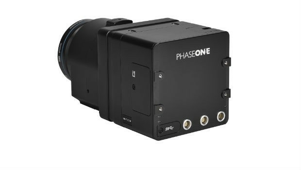
28th August 2018
Phase One Industrial Launches 150MP Metric Camera24th August 2018
The future of taxi drones at the FAI International Drone Conference and Expo24th August 2018
Industry frontrunners to collaborate in making ‘green’ propulsion a reality24th August 2018
Bristol company rejoices after launch of European Satellite mission23rd August 2018
Aptiv Celebrates 5,000 Self-Driving Public Rides23rd August 2018
RemoveDEBRIS mission completes in-orbit commissioning23rd August 2018
ESA’s Aeolus wind sensing satellite successfully launched from Kourou23rd August 2018
Luciad to sponsor Maritime Information Warfare 201823rd August 2018
OGC seeks public comment on GeoPackage Related Tables Extension22nd August 2018
Soar to Offer Atmosoar’s Revolutionary Weather Forecasting Technology22nd August 2018
"HERE topples Google to take first place" - Ovum*22nd August 2018
Maptek and LlamaZOO bring the mine to brilliant life22nd August 2018
Swift Navigation Announces BeiDou and Galileo Support for Piksi Multi22nd August 2018
Geneq Inc. Announces the new F90 GNSS Receiver21st August 2018
Okeanus Expands Fleet of Deepwater Oceanographic Winches21st August 2018
OGC Seeks Public Comment on MetOcean profile and extensions to WCS 2.121st August 2018
TomTom Reaches Mapping Milestone: 1.5bn Updates in a Single Month21st August 2018
HawkEye 360 Announces Eagle Technology as Partner for New Zealand21st August 2018
Hemisphere GNSS Acquires Outback Guidance Business from AgJunction, Inc.20th August 2018
OceanWise seek a “Front-End Web Systems Developer” to join their growing team20th August 2018
Arma Partners advises CycloMedia on sale to Volpi Capital18th August 2018
2018 URISA Board Election Results Announced17th August 2018
Microsoft launches Bing Maps Time Zone API16th August 2018
Ordnance Survey underpins UK driverless car testing