
Pitney Bowes Now Offering Data for Purchase Online
11th September 2018
Pitney Bowes Now Offering Data for Purchase OnlineThe compilation, reproduction and dissemination of maps and charts by means of manual (analogue) or digital techniques, tools and workflows. This topic covers the compilation, reproduction, dissemination and use of both analogue (paper) and digital maps, charts and atlases. As well as the science of cartography, including georeferencing and geocoding, digital techniques for compiling and generating various types of raster and vector maps and charts are covered, as are the digital mapping tools and Geographic Information Systems available for this purpose. The application of cartography for aeronautical, terrestrial and marine purposes is also covered
11th September 2018
Pitney Bowes Now Offering Data for Purchase Online
11th September 2018
Introducing the upgraded MTi 1-series modules..jpg)
11th September 2018
GeoSmart Extends Groundwater Flood Forecast Service11th September 2018
CGG’s MotionMap UK Data Enhances Ground Risk of Terrafirma Search10th September 2018
HERE Technologies and Altair Semiconductor partner
10th September 2018
Greenvalley International Launches New Premium Mobile Mapping Systems
10th September 2018
ODS launches commercial drone services in Oxford8th September 2018
In-house development with the Geodetic Development Kit GeoDLL8th September 2018
Compusult Awarded NATO Core GIS Incr. 3 Contract
6th September 2018
senseFly launches the eBee X fixed-wing drone
6th September 2018
Lockheed Martin Preparing Ground System Support
6th September 2018
Fugro Secures E&P Support Contracts In Trinidad And Gulf Of Mexico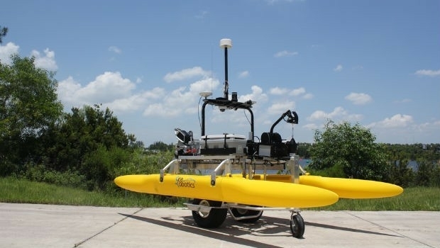
6th September 2018
SeaRobotics Delivers 3.6 Meter Collapsible ASV to USACE
6th September 2018
Garmin receives approval for the GFC 500 autopilot
6th September 2018
Latest PDF3D PV+ Release Broadens Scientific Data Reporting
6th September 2018
Juniper Systems Limited Expands Into the Nordics, Welcomes Paul Collins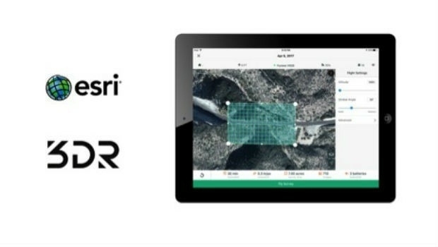
5th September 2018
3DR Announces Site Scan Esri® Edition for Esri Users
5th September 2018
OGC invites you to the Marine SDI (MDSI) Concept Development Study
5th September 2018
Sky and Space Global Signs MoU Agreements


5th September 2018
5th Cyber Operations for National Defense Symposium4th September 2018
Acquisition of Outback Guidance Business from AgJunction, Inc.4th September 2018
Submit an abstract for a chance to speak at SPAR 3D Expo & Conference
4th September 2018
Artificial Intelligence in Geoinformatics Domain Working Group
4th September 2018
Elbit Systems of Australia to Help Train ADF Cyber Warriors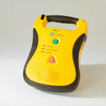
3rd September 2018
V.Ships and Martek Marine to fight sudden cardiac arrest at sea
3rd September 2018
New digital service to minimise disruptive roadworks
3rd September 2018
Wärtsilä Ballast Water Management System endorsed3rd September 2018
NOVACAVI’S CABLE SOLUTIONS CHOSEN FOR IN-SITU MONITORING DOWN TO 4000M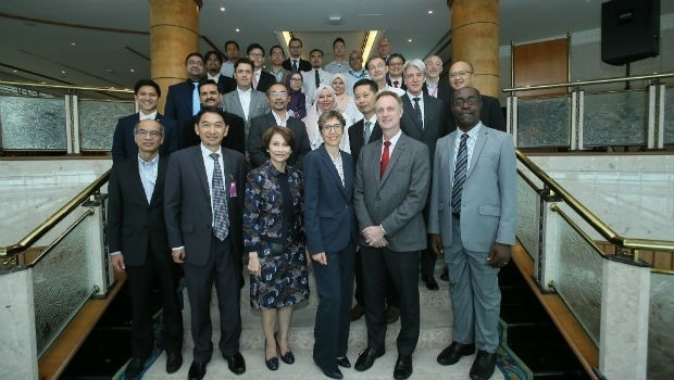
3rd September 2018
CGG Develops a Centre for Advanced Imaging for PETRONAS3rd September 2018
Garmin announces availability of TXi, GTN and GFC software upgrades
3rd September 2018
Prestigious $20,000 prize awarded to futuristic ‘drone ambulance’

31st August 2018
GCC Operational Technology Security Forum31st August 2018
Schneider Electric Officially Releases Arcfm 10.6.1
30th August 2018
Hexagon Partners with Clevest to Improve Utility Field Operations
30th August 2018
Heart of the next-generation transport management system in Sydney30th August 2018
Withstands Operating Temperatures up to 300ºC30th August 2018
Kinetica Maps Future of Automotive Industry Powered by Extreme Data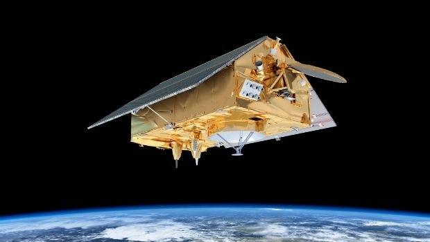
30th August 2018
‘Ocean’ satellite Sentinel-6A beginning to take shape.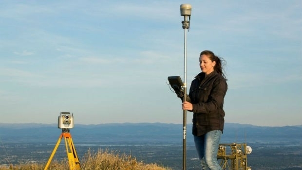
30th August 2018
Trimble Launches New Model of its R10 GNSS System for Land Surveyors