Cartography

The compilation, reproduction and dissemination of maps and charts by means of manual (analogue) or digital techniques, tools and workflows. This topic covers the compilation, reproduction, dissemination and use of both analogue (paper) and digital maps, charts and atlases. As well as the science of cartography, including georeferencing and geocoding, digital techniques for compiling and generating various types of raster and vector maps and charts are covered, as are the digital mapping tools and Geographic Information Systems available for this purpose. The application of cartography for aeronautical, terrestrial and marine purposes is also covered

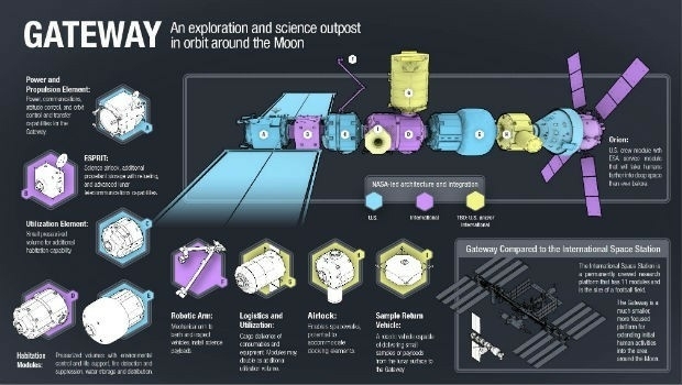
Airbus wins ESA studies for future human base in lunar orbit (from import)
Airbus wins ESA studies for future human base in lunar orbit

20th September 2018

Airbus wins ESA studies for future human base in lunar orbit
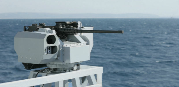
Elbit Systems Awarded $173 Million Contract (from import)

Elbit Systems Awarded $173 Million Contract

20th September 2018

Elbit Systems Awarded $173 Million Contract

PCI Geomatics Completes Historical Airphoto Mapping Project

20th September 2018

PCI Geomatics Completes Historical Airphoto Mapping Project
Garmin announces availability of cost-effective navigation databases (from import)

Garmin announces availability of cost-effective navigation databases

20th September 2018

Garmin announces availability of cost-effective navigation databases

Esri Location Intelligence Empowers Innovation

20th September 2018

Esri Location Intelligence Empowers Innovation
Bob Erickson Joins CSA Ocean Sciences Inc. (from import)

Bob Erickson Joins CSA Ocean Sciences Inc.

20th September 2018

Bob Erickson Joins CSA Ocean Sciences Inc.
Unique Biometrics and Cyber Conference in Prague (from import)

Unique Biometrics and Cyber Conference in Prague

20th September 2018

Unique Biometrics and Cyber Conference in Prague
Pix4D Accelerates Growth With A New Office In Madrid (from import)

Pix4D Accelerates Growth With A New Office In Madrid

20th September 2018

Pix4D Accelerates Growth With A New Office In Madrid
3D Repo Debuts Online Health and Safety Platform (from import)

3D Repo Debuts Online Health and Safety Platform

20th September 2018

3D Repo Debuts Online Health and Safety Platform

2018 Cyber Operations for National Defense Symposium

19th September 2018

2018 Cyber Operations for National Defense Symposium

Global Mapper v.20 Now Available with Improved 3D Model Functionality

19th September 2018

Global Mapper v.20 Now Available with Improved 3D Model Functionality

Net successfully snares space debris

18th September 2018

Net successfully snares space debris
GSSI Adds Drill Hole Feature to StructureScan™ Mini XT (from import)

GSSI Adds Drill Hole Feature to StructureScan™ Mini XT

18th September 2018

GSSI Adds Drill Hole Feature to StructureScan™ Mini XT

RIEGL will be attending and exhibiting at InnoTrans 2018!

18th September 2018

RIEGL will be attending and exhibiting at InnoTrans 2018!
David Glennon joins the UK BIM Alliance Executive Team (from import)
David Glennon joins the UK BIM Alliance Executive Team

18th September 2018

David Glennon joins the UK BIM Alliance Executive Team
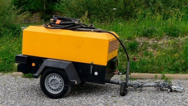
Ctrack Launches Tracking Solution For Unpowered Assets (from import)

Ctrack Launches Tracking Solution For Unpowered Assets

18th September 2018

Ctrack Launches Tracking Solution For Unpowered Assets

Topcon announces acquisition of ThunderBuild
18th September 2018

Topcon announces acquisition of ThunderBuild
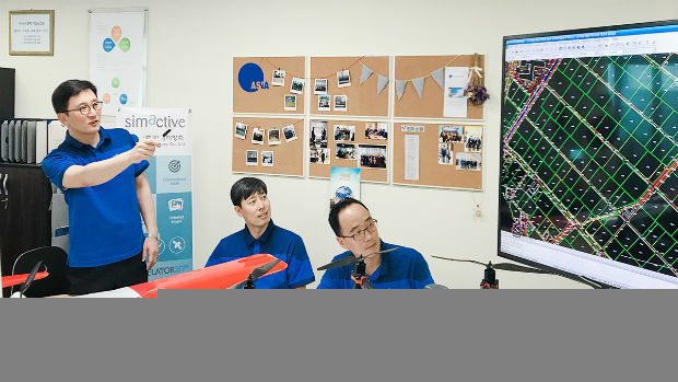
First South Korea Government Drone Project Completed with SimActive (from import)
First South Korea Government Drone Project Completed with SimActive

18th September 2018

First South Korea Government Drone Project Completed with SimActive
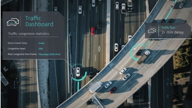
Introducing the global HERE Traffic Dashboard (from import)
Introducing the global HERE Traffic Dashboard

17th September 2018

Introducing the global HERE Traffic Dashboard
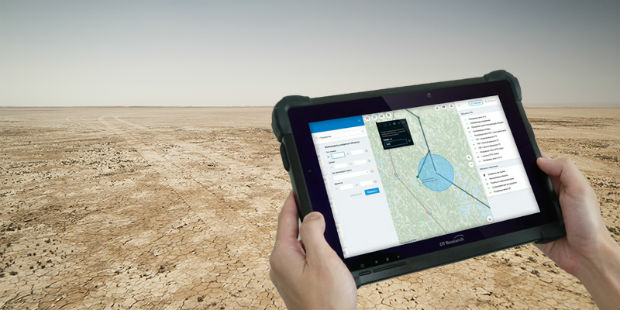
DT Research Introduces 7” Rugged Tablet with Scientific-grade GNSS (from import)

DT Research Introduces 7” Rugged Tablet with Scientific-grade GNSS

17th September 2018

DT Research Introduces 7” Rugged Tablet with Scientific-grade GNSS

UK radar satellite NovaSAR-1 successfully launched

17th September 2018

UK radar satellite NovaSAR-1 successfully launched
Nanotron releases new production version of location tracking software (from import)
Nanotron releases new production version of location tracking software

17th September 2018

Nanotron releases new production version of location tracking software
CGG Conducts Innovative Rich-Azimuth Multi-Client Survey NW of Shetland (from import)

CGG Conducts Innovative Rich-Azimuth Multi-Client Survey NW of Shetland

17th September 2018

CGG Conducts Innovative Rich-Azimuth Multi-Client Survey NW of Shetland

Aurecon Group and Digpro enters new partnership agreement
17th September 2018

Aurecon Group and Digpro enters new partnership agreement
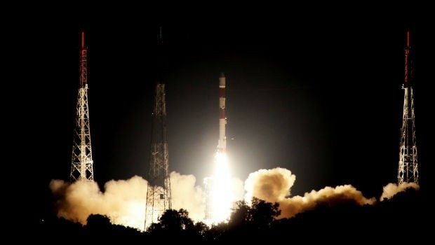
Successful launch of NovaSAR-1 and SSTL S1-4 satellites (from import)
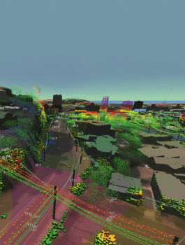
Successful launch of NovaSAR-1 and SSTL S1-4 satellites

17th September 2018

Successful launch of NovaSAR-1 and SSTL S1-4 satellites
Fugro Helps Western Power Strengthen Its Network’s Asset Management (from import)

Fugro Helps Western Power Strengthen Its Network’s Asset Management

15th September 2018

Fugro Helps Western Power Strengthen Its Network’s Asset Management
ezMetr Provides Transportation Platform for Smarter Cities (from import)

ezMetr Provides Transportation Platform for Smarter Cities

15th September 2018

ezMetr Provides Transportation Platform for Smarter Cities

AF Announces selection of GPS III follow-on contract

15th September 2018

AF Announces selection of GPS III follow-on contract

6th Sustainable Ocean Summit – First Key Speakers Announced
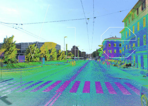
15th September 2018

6th Sustainable Ocean Summit – First Key Speakers Announced
SITECO announces full compatibility of Road-Scanner data with TopoDOT (from import)

SITECO announces full compatibility of Road-Scanner data with TopoDOT

15th September 2018

SITECO announces full compatibility of Road-Scanner data with TopoDOT
Fugro Begins Marine Site Investigation (from import)

Fugro Begins Marine Site Investigation

15th September 2018

Fugro Begins Marine Site Investigation
World Water-Tech North America 2018 (from import)

World Water-Tech North America 2018

14th September 2018

World Water-Tech North America 2018
Space4Culture Conference: Satellite Services (from import)

Space4Culture Conference: Satellite Services

14th September 2018

Space4Culture Conference: Satellite Services
INTERGEO NEWS | brand new INTERGEO report is online! (from import)

INTERGEO NEWS | brand new INTERGEO report is online!

14th September 2018

INTERGEO NEWS | brand new INTERGEO report is online!

RENEXPO® BIH International platform for water, energy and environment
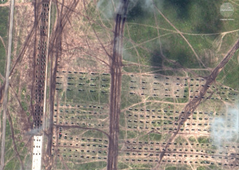
14th September 2018

RENEXPO® BIH International platform for water, energy and environment
DigitalGlobe Satellite Imagery of Russian Military Exercise (from import)
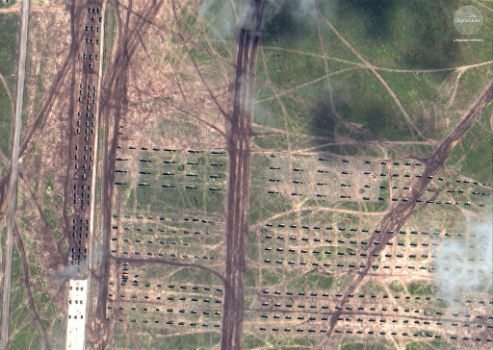
DigitalGlobe Satellite Imagery of Russian Military Exercise

14th September 2018

DigitalGlobe Satellite Imagery of Russian Military Exercise
DigitalGlobe Satellite Imagery of Russian Military Exercise (from import)

DigitalGlobe Satellite Imagery of Russian Military Exercise

14th September 2018

DigitalGlobe Satellite Imagery of Russian Military Exercise

RIEGL to Attend and Exhibit at AREMA 2018!

13th September 2018

RIEGL to Attend and Exhibit at AREMA 2018!

Boundless introduces GIS solution for state & local governments
13th September 2018

Boundless introduces GIS solution for state & local governments
Joan Masó receives OGC’s 2018 Gardels Award (from import)
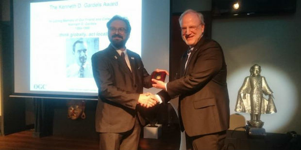
Joan Masó receives OGC’s 2018 Gardels Award

13th September 2018

Joan Masó receives OGC’s 2018 Gardels Award
thinkWhere Announces GIS and data management training (from import)

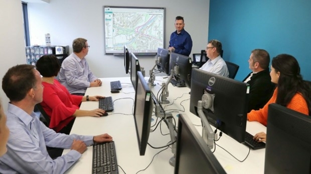
thinkWhere Announces GIS and data management training

13th September 2018

thinkWhere Announces GIS and data management training

Delair Receives Funding From Intel Capital

13th September 2018

Delair Receives Funding From Intel Capital
East View Geospatial Partners with Space View (from import)

East View Geospatial Partners with Space View

12th September 2018

East View Geospatial Partners with Space View

Airbus and Orbital Insight partner on The OneAtlas Platform

12th September 2018

Airbus and Orbital Insight partner on The OneAtlas Platform
Marine Data Management and GIS Workshop (from import)

Marine Data Management and GIS Workshop

12th September 2018

Marine Data Management and GIS Workshop
Teledyne Optech’s Dr. Paul LaRocque to deliver address at ION GNSS+ (from import)

Teledyne Optech’s Dr. Paul LaRocque to deliver address at ION GNSS+

12th September 2018

Teledyne Optech’s Dr. Paul LaRocque to deliver address at ION GNSS+

URISA Announces 2018 GIS Hall of Fame Inductees

12th September 2018

URISA Announces 2018 GIS Hall of Fame Inductees

Pitney Bowes Now Offering Data for Purchase Online

11th September 2018

Pitney Bowes Now Offering Data for Purchase Online