
PCI Geomatics Releases Geomatica and GXL 2018
2nd October 2018
PCI Geomatics Releases Geomatica and GXL 2018The compilation, reproduction and dissemination of maps and charts by means of manual (analogue) or digital techniques, tools and workflows. This topic covers the compilation, reproduction, dissemination and use of both analogue (paper) and digital maps, charts and atlases. As well as the science of cartography, including georeferencing and geocoding, digital techniques for compiling and generating various types of raster and vector maps and charts are covered, as are the digital mapping tools and Geographic Information Systems available for this purpose. The application of cartography for aeronautical, terrestrial and marine purposes is also covered
2nd October 2018
PCI Geomatics Releases Geomatica and GXL 2018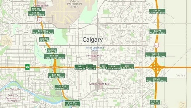
1st October 2018
Free Highway Exits & Interchanges Data for Use with Maptitude 20181st October 2018
INTERGEO NEWS | SMART CITY SOLUTIONS - This is what you can expect!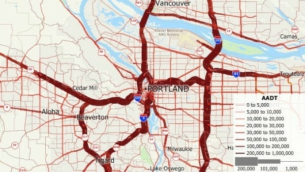
1st October 2018
Free U.S. Traffic Count Data for Use with Maptitude
1st October 2018
DYWIDAG-Systems International (DSI) Acquires Datum Group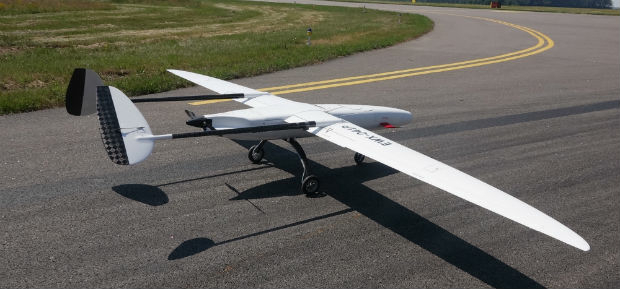
1st October 2018
UAVOS Fixed-Wing UAV Sitaria Completed Flight Tests
1st October 2018
UltraCam Panther & UltraMap Terrestrial v1.0 released1st October 2018
UK Hydrographic Office conducts seabed mapping in St Lucia1st October 2018
OceanWise provides mapping data and expertise to Blue Marine
29th September 2018
Orbit GT to exhibit and showcase new releases at INTERGEO, Frankfurt

28th September 2018
How Drones Can Optimize Surveying and Mapping Projects28th September 2018
SLAMcore raises $5M to bring spatial AI algorithms to market28th September 2018
Boundless launches intuitive GIS Learning Platform, Boundless Learning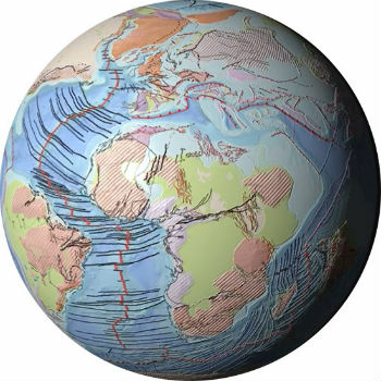
28th September 2018
Getech Releases Globe 2018 for Improved Basin Screening and Exploration28th September 2018
Esri Talks Blockchain Readiness at CSCMP EDGE 2018
28th September 2018
Space Flight Laboratory to Showcase Microspace Applications27th September 2018
INTERGEO: Digitalisation – driving rural land development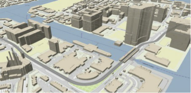
27th September 2018
Joining the dots with new viaEuropa vector tile service from Europa26th September 2018
Geovation helps establish GeoTech and PropTech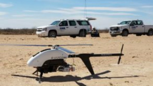
26th September 2018
SAM, LLC: Using Technology To Enhance Solutions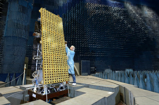
26th September 2018
BARSC Welcomes SSTL as a New Corporate Member26th September 2018
Driving geospatial innovation in Singapore and the United Kingdom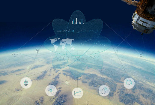
26th September 2018
Garmin® G950 NXi integrated flight deck certified26th September 2018
RIEGL to Exhibit and Present at Commercial UAV Expo 2018!_Airbus_-_AirNode_Demo.jpg)
26th September 2018
Airbus Presents New and Innovative Space Solutions at the IAC
25th September 2018
Nanotron and Protran sign volume supply agreement25th September 2018
Dowe Gallagher Adds Textron Cessna Caravan EX To Lidar Offerings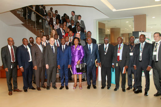
25th September 2018
Abidjan forum discusses using satellite data for sustainable development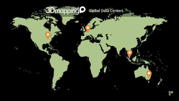
25th September 2018
Elane Inc. procures OceanWise Web Mapping Service
25th September 2018
NM Group undertake Machine Learning research project25th September 2018
USGIF Report on Geospatial Intelligence & Community Resilience25th September 2018
Discover more with new OS Maps 3D feature (WITH VIDEO
24th September 2018
Keep your broadband network under control with smart Airbus technology!
24th September 2018
ARBOR Introduces the FPC-9002-P6 with 6 GbE PoE Ports24th September 2018
Airbus announces finalists of Multi-Data Challenge
24th September 2018
European Space Imaging Awarded €20 Million Maritime Contract22nd September 2018
Mirasense and XenomatiX Win Technology Showcase
21st September 2018
ATrack to Speak at Telematics Conference CEEurope
20th September 2018
Artificial intelligence has great strength in the interpretation of geodata