
Garmin® announces availability of the G700 TXi flight display
10th October 2018
Garmin® announces availability of the G700 TXi flight displayThe compilation, reproduction and dissemination of maps and charts by means of manual (analogue) or digital techniques, tools and workflows. This topic covers the compilation, reproduction, dissemination and use of both analogue (paper) and digital maps, charts and atlases. As well as the science of cartography, including georeferencing and geocoding, digital techniques for compiling and generating various types of raster and vector maps and charts are covered, as are the digital mapping tools and Geographic Information Systems available for this purpose. The application of cartography for aeronautical, terrestrial and marine purposes is also covered

10th October 2018
Garmin® announces availability of the G700 TXi flight display10th October 2018
Hexagon Digitalizes and Democratizes the Census Process
10th October 2018
Seamless integration between FltPlan.com and Garmin Pilot
10th October 2018
Garmin® expands availability of retrofit G1000 NXi
9th October 2018
CORSICA: Satellite Images Highlight Major Oil Spill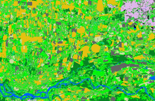
9th October 2018
Spottitt Launches Cloud-Based Geospatial Data Analysis
9th October 2018
Abstracts for ION ITM 2019 and PTTI 2019 are due October 10
9th October 2018
INTERGEO CONFERENCE Keynote Speech on Thursday9th October 2018
Platform161 enhances advertising platform with NetAcuity Pulse9th October 2018
Hexagon presents solutions for smart digital realities at INTERGEO
9th October 2018
Handheld announces free MaxGo Android apps for staging and security9th October 2018
GIS4SmartGrid 2018, 20-22 November, Amsterdam, Smart Grid Forums
8th October 2018
NavVis IndoorViewer converts static scans into immersive 360° imagery8th October 2018
Highways Surveyors map out a new direction with Saber8th October 2018
UK Hydrographic Office to unlock the value of location-based information8th October 2018
Hexagon Launches Public Safety Data Visualization and Analytics Software
8th October 2018
Maxoptra Dynamic Routing Speeds Fast Food Deliveries8th October 2018
ERM Advanced Telematics launches a unique product8th October 2018
Airbus and Atos awarded major cyber security contract5th October 2018
URISA Releases White Paper Defining the Boundaries of Practice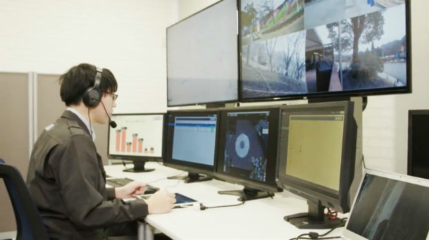
5th October 2018
Unifly and Terra Drone co-develop UTM system with Hitachi
5th October 2018
Hybrid multipair custom cable to enhance geophysical borehole5th October 2018
Leading Maritime Experts to Present Comprehensive Technical Briefings4th October 2018
Esri Incorporates BuildingFootprintUSA Data for Deep Learning4th October 2018
HERE Technologies introduces HERE XYZ, a new cloud service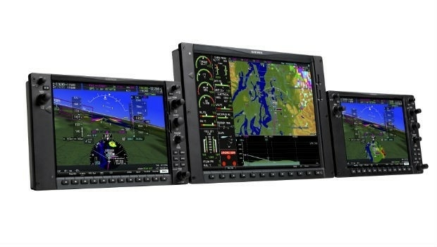
4th October 2018
Garmin announces the G1000 NXi upgrade for the Piper M500
4th October 2018
OGC requests comment on candidate standard: Geographic Information

3rd October 2018
Orbit GT opens Singapore office to support APAC region expansion
3rd October 2018
USGIF Launches Third Annual EdGEOcation Giving Campaign3rd October 2018
Fugro Enhances Support For Oil And Gas Industry In Nigeria3rd October 2018
New data mapping technology to be trialled at Allianz Arena3rd October 2018
Abstracts for ION ITM 2019 and PTTI 2019 are due October 103rd October 2018
GNSS SDR Medadata Standards Public Comment3rd October 2018
Dr. Oliver Montenbruck Receives Johannes Kepler Award3rd October 2018
Dr. Yu Jiao Receives Bradford W. Parkinson Award
2nd October 2018
RIEGL to Attend and Exhibit at IACP 2018!
2nd October 2018
Extensis and LizardTech Unite as One Company2nd October 2018
GSSI to Showcase Latest GPR Products at INTERGEO 20182nd October 2018
GSSI Showcases Newest GPR Equipment at ASNT Annual Conference
2nd October 2018
PDF3D Helps IronCAD Integrator Add 3D Parts List Publishing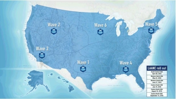
2nd October 2018
Unifly certified by FAA to offer LAANC service2nd October 2018
BepiColombo - the four-in-one satellite to uncover Mercury´s mysteries
2nd October 2018
Rezatec provides AHDB with innovative geospatial data analytics