Cartography

The compilation, reproduction and dissemination of maps and charts by means of manual (analogue) or digital techniques, tools and workflows. This topic covers the compilation, reproduction, dissemination and use of both analogue (paper) and digital maps, charts and atlases. As well as the science of cartography, including georeferencing and geocoding, digital techniques for compiling and generating various types of raster and vector maps and charts are covered, as are the digital mapping tools and Geographic Information Systems available for this purpose. The application of cartography for aeronautical, terrestrial and marine purposes is also covered

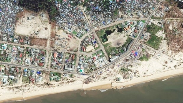
BEIRA: Satellite Images highlight damage from Cyclone Idai (from import)
BEIRA: Satellite Images highlight damage from Cyclone Idai

29th March 2019

BEIRA: Satellite Images highlight damage from Cyclone Idai
Airbus, Altran and Microsoft Open the IDTechEx Show! (from import)
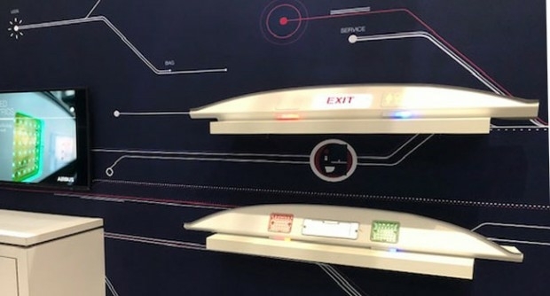
Airbus, Altran and Microsoft Open the IDTechEx Show!

29th March 2019

Airbus, Altran and Microsoft Open the IDTechEx Show!
Airbus prepares Cheops satellite for launch (from import)

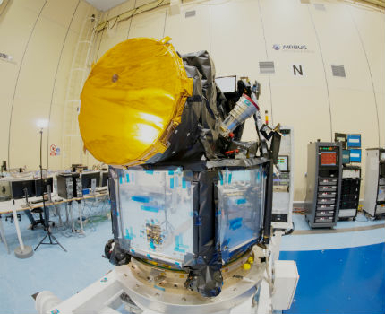
Airbus prepares Cheops satellite for launch

29th March 2019

Airbus prepares Cheops satellite for launch

Orbit GT to present and exhibit at Geospatial World Forum, Amsterdam
29th March 2019

Orbit GT to present and exhibit at Geospatial World Forum, Amsterdam
Fugro Welcomes Accelerated Offshore Wind Development (from import)

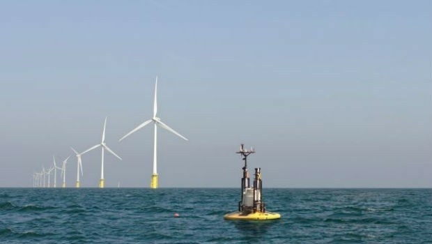
Fugro Welcomes Accelerated Offshore Wind Development

29th March 2019

Fugro Welcomes Accelerated Offshore Wind Development

Hexagon’s Geospatial Division Participating in Belgium State Visit
29th March 2019

Hexagon’s Geospatial Division Participating in Belgium State Visit
Unmanned Maritime Systems Technology 2019 (from import)

Unmanned Maritime Systems Technology 2019

29th March 2019

Unmanned Maritime Systems Technology 2019
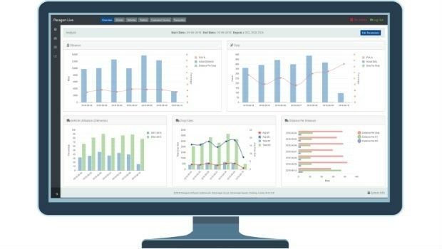
Paragon launches new live management functionality (from import)
Paragon launches new live management functionality

28th March 2019

Paragon launches new live management functionality
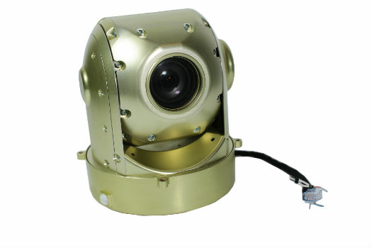
New UAVOS 3-Axis Camera Gimbal at XPONENTIAL 2019 (from import)
New UAVOS 3-Axis Camera Gimbal at XPONENTIAL 2019

28th March 2019

New UAVOS 3-Axis Camera Gimbal at XPONENTIAL 2019
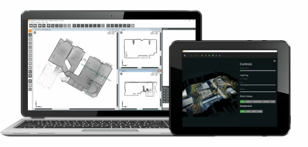
GEOSLAM LAUNCHES UPGRADE TO ACCLAIMED HUB SOFTWARE (from import)
GEOSLAM LAUNCHES UPGRADE TO ACCLAIMED HUB SOFTWARE

28th March 2019

GEOSLAM LAUNCHES UPGRADE TO ACCLAIMED HUB SOFTWARE
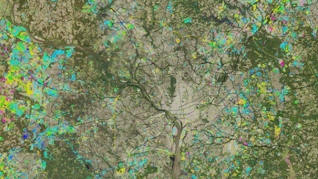
Maxar Selected to Provide its NaturalVue® 2.0 Image Mosaic (from import)
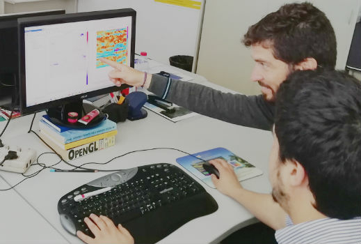
Maxar Selected to Provide its NaturalVue® 2.0 Image Mosaic

28th March 2019

Maxar Selected to Provide its NaturalVue® 2.0 Image Mosaic
CGG GeoSoftware Supports Geoscience Training (from import)

CGG GeoSoftware Supports Geoscience Training

28th March 2019

CGG GeoSoftware Supports Geoscience Training

RegioGraph 2019 now available

28th March 2019

RegioGraph 2019 now available
AEC Next and SPAR 3D 2019 Conference Program Announced (from import)

AEC Next and SPAR 3D 2019 Conference Program Announced

28th March 2019

AEC Next and SPAR 3D 2019 Conference Program Announced

Colorado State University Expands Curriculum

28th March 2019

Colorado State University Expands Curriculum

Why IP EXPO Manchester 2019 is not to be missed
28th March 2019

Why IP EXPO Manchester 2019 is not to be missed

Military Space USA Conference

28th March 2019

Military Space USA Conference
Astranis Space Technologies Selects Wind River Real-Time Operating System (from import)

Astranis Space Technologies Selects Wind River Real-Time Operating System

27th March 2019

Astranis Space Technologies Selects Wind River Real-Time Operating System

Space Flight Laboratory to Build HawkEye 360 Next-Gen Microsatellite

27th March 2019

Space Flight Laboratory to Build HawkEye 360 Next-Gen Microsatellite

Ocean Business Announces High-Profile Speakers for Opening Session

27th March 2019

Ocean Business Announces High-Profile Speakers for Opening Session

GeoSpock secures additional funding and hires technology leader

27th March 2019

GeoSpock secures additional funding and hires technology leader

Elbit Systems Awarded $125 Million Contract from the IMOD
27th March 2019

Elbit Systems Awarded $125 Million Contract from the IMOD

Deep Offshore Southeast Asia Congress

27th March 2019

Deep Offshore Southeast Asia Congress

Offshore Caribbean Congress 2019

27th March 2019

Offshore Caribbean Congress 2019
Second Lockheed Martin-Built GPS III Satellite (from import)
Second Lockheed Martin-Built GPS III Satellite

27th March 2019

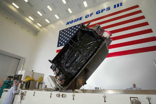
Second Lockheed Martin-Built GPS III Satellite
SpheronVR presents new SceneCenter® software  with GIS technology support (from import)

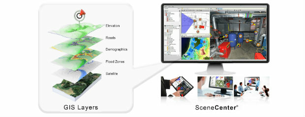
SpheronVR presents new SceneCenter® software with GIS technology support

26th March 2019

SpheronVR presents new SceneCenter® software with GIS technology support
Fugro Expands Offshore And Onshore Services In Egypt (from import)

Fugro Expands Offshore And Onshore Services In Egypt

26th March 2019

Fugro Expands Offshore And Onshore Services In Egypt
New Ultramodern CGG Facility Boasts Secure and Cost-Effective Storage (from import)

New Ultramodern CGG Facility Boasts Secure and Cost-Effective Storage

26th March 2019

New Ultramodern CGG Facility Boasts Secure and Cost-Effective Storage

Offshore Survey 2019 announce keynote speakers
26th March 2019

Offshore Survey 2019 announce keynote speakers
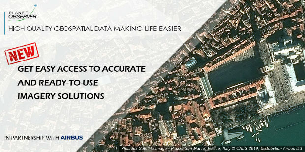
PlanetObserver Announces Partnership with Airbus Defence and Space (from import)

PlanetObserver Announces Partnership with Airbus Defence and Space

26th March 2019

PlanetObserver Announces Partnership with Airbus Defence and Space
Garmin® introduces the GTX 335D and GTX 345D ADS-B diversity transponders (from import)

Garmin® introduces the GTX 335D and GTX 345D ADS-B diversity transponders

26th March 2019

Garmin® introduces the GTX 335D and GTX 345D ADS-B diversity transponders

Kaarta announces $6.5M in Series A Financing

25th March 2019

Kaarta announces $6.5M in Series A Financing

Bringing location to life at the GeoPlace conference
25th March 2019

Bringing location to life at the GeoPlace conference

GeoSpock and X-Locations Collaborate

25th March 2019

GeoSpock and X-Locations Collaborate
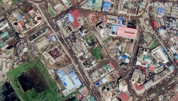
Satellite Imagery: Damage from Hurricane Idai (from import)

Satellite Imagery: Damage from Hurricane Idai

25th March 2019

Satellite Imagery: Damage from Hurricane Idai

Rotorcraft Asia 2019 and Unmanned Systems Asia 2019

25th March 2019

Rotorcraft Asia 2019 and Unmanned Systems Asia 2019

Bury Council Turns to Yotta for Highways and Street Lighting Maintenance

22nd March 2019

Bury Council Turns to Yotta for Highways and Street Lighting Maintenance

INTERGEO 2019: Data, data, data!

22nd March 2019

INTERGEO 2019: Data, data, data!

Malaysia’s Sapura Group announced as Host Operatorfor world-leading CCW

21st March 2019

Malaysia’s Sapura Group announced as Host Operatorfor world-leading CCW
21st Annual Global MilSatCom (from import)

21st Annual Global MilSatCom

21st March 2019

21st Annual Global MilSatCom
Marathon Des Sables 2019 athletes to use Globalstar’s SPOT Gen3 (from import)
Marathon Des Sables 2019 athletes to use Globalstar’s SPOT Gen3

21st March 2019

Marathon Des Sables 2019 athletes to use Globalstar’s SPOT Gen3
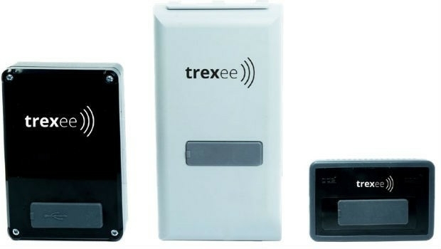
Neeco ICT Global (Neeco) launches Trexee (from import)

Neeco ICT Global (Neeco) launches Trexee

21st March 2019

Neeco ICT Global (Neeco) launches Trexee

Airbus bluelight solutions now available on UK’s Data and Applications
21st March 2019

Airbus bluelight solutions now available on UK’s Data and Applications
New UAV Partner for RIEGL USA (from import)

New UAV Partner for RIEGL USA

21st March 2019

New UAV Partner for RIEGL USA
Sercel Extends Boundaries of Well Exploration with SigmaWave (from import)

Sercel Extends Boundaries of Well Exploration with SigmaWave

21st March 2019

Sercel Extends Boundaries of Well Exploration with SigmaWave
4th Annual MilSatCom USA Conference (from import)

4th Annual MilSatCom USA Conference

21st March 2019

4th Annual MilSatCom USA Conference
Maxoptra Routing Software Scores Top Marks from Origin (from import)

Maxoptra Routing Software Scores Top Marks from Origin

20th March 2019

Maxoptra Routing Software Scores Top Marks from Origin
Eos Positioning Systems Receives 2019 Esri Partner Conference Award (from import)

Eos Positioning Systems Receives 2019 Esri Partner Conference Award

20th March 2019

Eos Positioning Systems Receives 2019 Esri Partner Conference Award