Faroese Environment Agency joins EuroGeographics
3rd April 2024
Faroese Environment Agency joins EuroGeographics
3rd April 2024
Faroese Environment Agency joins EuroGeographics
29th February 2024
EuroGeographics announces new Co-Chairs for Cadastre and Land Registry Network
28th July 2023
3D registration of condominium rights through BIM models
18th May 2023
EuroGeographics renews agreement with Kadaster Netherlands to provide UN-GGIM: Europe Secretariat
1st March 2023
CompassData Appoints Kate Schlatter as New CEO
19th July 2022
Urban-rural land linkages and territorial justice as states of mind
13th June 2022
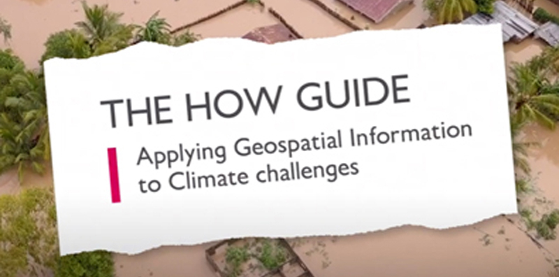
New ‘How’ guide demonstrates how geospatial can be applied to climate challenges
21st June 2021
Call for authoritative geospatial information to be included in EU Zero Pollution Action Plan
23rd May 2021
3D GeoInfo and 3D Cadastres – paper deadline extended!
29th April 2021
Ordnance Survey and UK PropTech Association announce partnership
15th April 2021
Discover how the SP85 GNSS receiver is used in the field
18th January 2021
Real estate management during the COVID pandemic - Webinar

27th October 2020
New head of EuroGeographics aims to put official geospatial data on the map in the heart of Europe

26th August 2020
Surveyors all over the Globe rely on Nikon Total Stations
26th August 2020
John Kimmance appointed as new MD of Ordnance Survey National Mapping Services